Navigating Interstate 70 through Colorado requires constant vigilance regarding real-time road conditions, mountain weather anomalies, and strict seasonal traction laws. Because conditions can shift from clear pavement to blizzard warnings within minutes, travelers must rely on official state data feeds, understand the geographical segments of the corridor, and adhere strictly to commercial and passenger vehicle requirements to avoid heavy fines or extended highway closures.
The Nature of Interstate 70 Closures in Colorado
Interstate 70 is a critical transcontinental highway running from Utah to Maryland, but its passage through the heart of the Rocky Mountains in Colorado is internationally renowned for both its dramatic scenery and its extreme engineering challenges. When drivers search for current closures, they are usually looking at the high-mountain corridor stretching from Golden through the Eisenhower-Johnson Memorial Tunnel, over Vail Pass, and down through Glenwood Canyon toward the Utah border.
Unlike flatland highways where closures are typically restricted to major construction projects or severe multi-car accidents, I-70 closures in Colorado are heavily driven by dynamic meteorological events, rockfalls, heavy commercial vehicle spin-outs, and avalanche mitigation operations. A closure can range from a brief fifteen-minute safety hold for an active avalanche blast to an extended multi-day shutdown caused by a major mudslide in Glenwood Canyon or a severe multi-vehicle pileup during a blizzard on the Eastern Slope or West Slope.
Understanding whether there are closures right now requires moving past static mapping applications, which often lag behind real-time state transportation updates. Because the Colorado Department of Transportation actively manages traffic flow using ramp meters, chain laws, and safety holds, drivers must consult live operational feeds to make informed decisions before committing to the mountain corridor.
Official Sources for Live Road Conditions and Closures
Finding accurate, up-to-the-minute information regarding I-70 requires utilizing official state infrastructure channels rather than general social media or crowdsourced navigation apps that may contain outdated alerts. The primary authority for all state and interstate highways in Colorado is the Colorado Department of Transportation.
| Source Name | Primary Function | Best Used For |
|---|---|---|
| COtrip Planner (cotrip.org) | Interactive map, live cameras, and electronic message sign feeds. | Visualizing full route status, weather impacts, and travel alerts before departure. |
| COtrip Planner Mobile App | Push notifications and hands-free audio alerts for specific routes. | Real-time monitoring while on the road or adjusting routes dynamically. |
| CDOT Twitter/X Feed (@ColoradoDOT) | Rapid updates on sudden accidents, closures, and major traffic holds. | Immediate breaking news on unexpected closures and emergency incidents. |
| CDOT Telephone Hotline | Automated and live operator updates for road and weather conditions. | Checking basic status when cellular data coverage is limited or unavailable. |
Relying on these official channels ensures that motorists receive verified information regarding safety closures, rolling roadblocks, and estimated reopening times directly from field crews and traffic management centers.
Key Geographical Segments and Vulnerable Points Along I-70
The I-70 mountain corridor is not a uniform stretch of highway; it is divided into distinct topographical zones, each with unique vulnerabilities and closure triggers. Motorists assessing the corridor must look at specific segments to understand why a closure has been implemented.
The Front Range Foothills and Denver Metro Transition
Beginning around Morrison and heading up into Golden toward Floyd Hill, this section experiences heavy commuter traffic and rapid elevation changes. Closures here are typically driven by peak-hour congestion, vehicle fires, and severe winter weather dropping sudden snow onto warm pavement, creating slick conditions before plows can clear the multi-lane highway.
The Eisenhower-Johnson Memorial Tunnel and Loveland Pass
As the highest vehicular tunnel in the United States, sitting at an elevation of over 11,000 feet, the Eisenhower-Johnson Memorial Tunnel acts as a major bottleneck. CDOT frequently implements metering operations or brief safety closures here to manage commercial vehicle ventilation, hazardous material loads, and traffic volume. When severe weather hits the Continental Divide, Loveland Pass (US 6)—the high-altitude alternative route—often closes concurrently due to high avalanche danger.
Eagle County and Vail Pass
Vail Pass reaches an elevation of 10,662 feet and is notorious for sudden microclimates. Winter storms moving from the west hit Vail Pass first, catching motorists off guard with zero-visibility whiteout conditions. Safety closures on Vail Pass are frequently enacted to clear stranded semi-trucks that fail to chain up or lose traction on the steep grade.
Glenwood Canyon
Perhaps the most sensitive ecological and infrastructural segment of I-70 is Glenwood Canyon, where the highway is carved into sheer rock walls alongside the Colorado River. This section is subject to safety closures due to rockfalls, winter freeze-thaw cycles, and—most critically—flash floods and mudslides triggered by burn scars from historical wildfires. A severe rainstorm anywhere near the Grizzly Creek burn scar can prompt an immediate, precautionary closure of I-70 through Glenwood Canyon to protect motorists from catastrophic debris flows.
Colorado Traction Laws and Passenger Vehicle Requirements
Many unexpected delays and localized closures on I-70 are directly linked to motorists failing to comply with Colorado’s mandatory Traction Law and Chain Law. Understanding these legal requirements is essential for anyone planning to drive the corridor between September 1 and May 31, or whenever winter conditions dictate.
COLORADO TRACTION LAW (CODE 15)
- Passenger Vehicles
- Must have 4WD/AWD OR M+S tires OR chains/alternative traction devices
- Commercial Vehicles
- Must carry adequate chains for required driving axles
Chain Law Enacted (Code 18)
- All commercial vehicles MUST chain up
- Passenger cars restricted to approved devices
When the Traction Law is in effect, all motorists must have an all-wheel drive (AWD) or four-wheel drive (4WD) vehicle, or tires with a mud and snow designation (M+S), or a minimum tread depth of 3/16 inch. Vehicles lacking these specifications are pulled over, ticketed, or turned around, contributing to localized congestion and secondary closures.
When conditions deteriorate further, CDOT implements the Chain Law for commercial vehicles, requiring all semi-trucks to apply chains to their drive tires. Ignoring these laws can result in fines exceeding five hundred dollars, and if a non-compliant vehicle blocks the highway and causes an accident, fines can escalate into thousands of dollars alongside liability for damages.
Common Mistakes Made by Mountain Travelers
Drivers navigating the I-70 corridor frequently commit errors that exacerbate travel delays, increase accident risks, and complicate emergency response efforts during active closures.
- Trusting Static GPS Routings blindly: Standard consumer navigation applications often suggest unpaved local mountain passes or service roads as detours when I-70 closes. Many of these alternative routes are closed for the winter, impassable for standard passenger cars, or lack cellular service, leaving motorists stranded in remote areas.
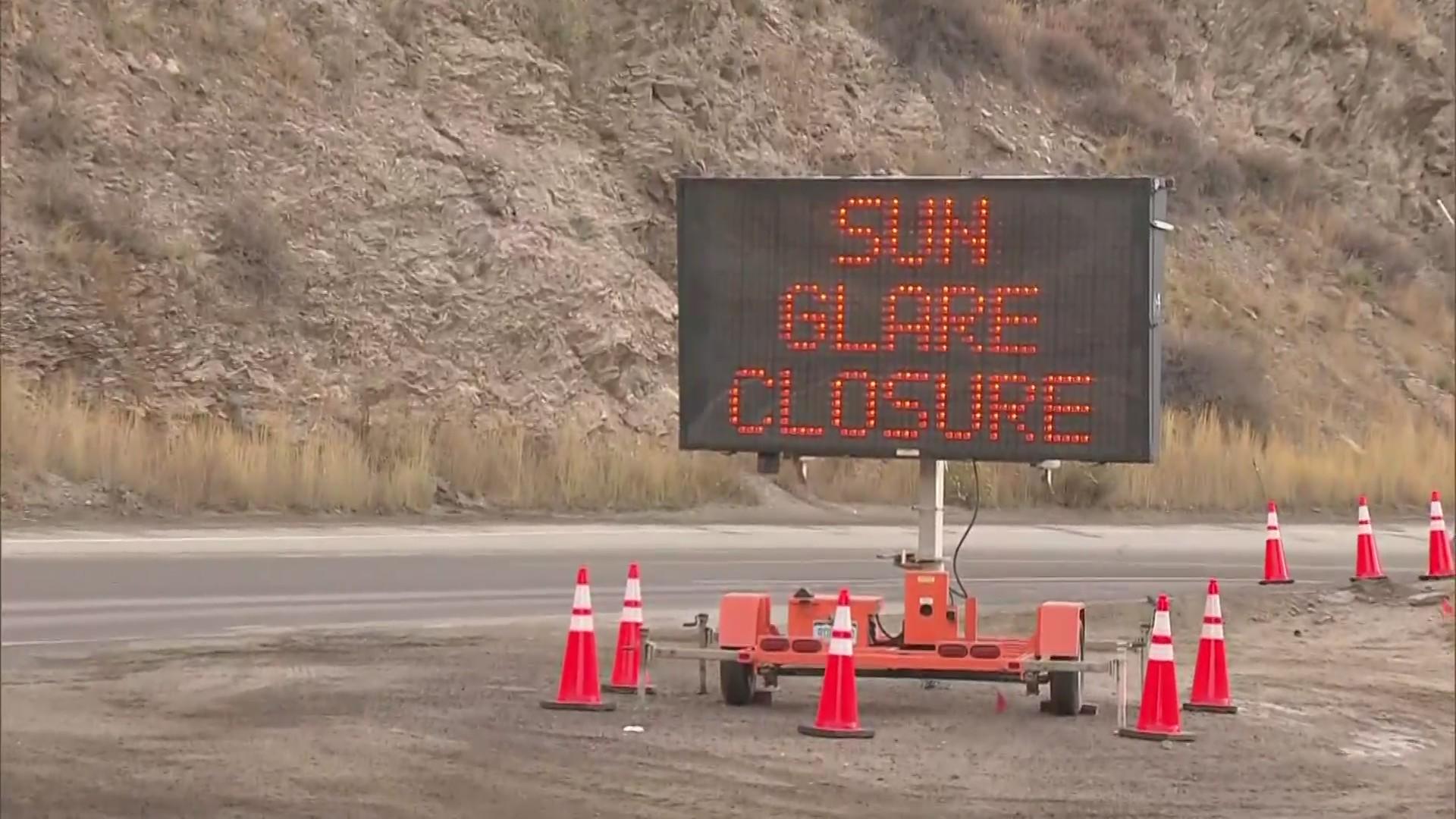
- Ignoring Electronic Message Signs: CDOT places variable message boards miles before major decision points. Ignoring warnings about impending tunnel closures, metering, or chain laws forces drivers into bottlenecks where turning around is impossible.
- Traveling with Inadequate Fuel and Supplies: Being trapped in a major I-70 closure due to an accident or avalanche control can leave motorists stationary for hours. Entering the mountains with a quarter tank of gas, dead mobile devices, and no water or warm clothing creates a severe safety hazard during extended winter holds.
- Failing to Check Weather and Road Status Before Departure: Checking conditions only after reaching the foothills often results in getting caught behind a closure checkpoint with no easy way to retreat.
Practical Next Actions and Alternative Travel Strategies
If official sources indicate that I-70 is currently closed or experiencing severe delays, travelers must take calculated, safe steps to adjust their itineraries rather than rushing toward closure checkpoints.
- Delay Departure: If your travel schedule is flexible, wait out the storm or incident. CDOT crews work continuously to clear accidents, complete avalanche mitigation, or manage weather events, and many closures are lifted within a few hours.
- Utilize Approved Alternate Routes Only: If a long-distance detour is necessary, use designated state-maintained detours rather than local shortcuts. For example, northern detours via US 40 over Berthoud Pass or southern routes via US 50 are engineered to handle rerouted traffic safely, provided vehicles meet all active traction requirements.
- Prepare an Emergency Kit: Always carry blankets, extra food, water, a flashlight, a portable phone charger, and a proper snow brush or shovel in your vehicle during mountain travel seasons.
- Monitor Live Feeds Continuously: Keep the COtrip mobile application open or check official Twitter updates to monitor reopening timelines before returning to the highway queue.