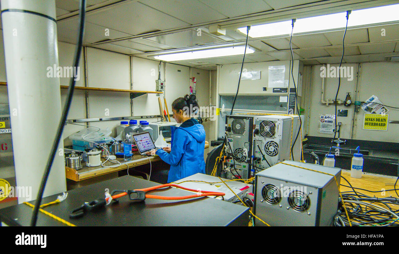
Atmospheric and environmental research provides the critical data and predictive modeling necessary to understand climate volatility, weather patterns, and long-term environmental shifts. By combining satellite remote sensing, numerical weather prediction, and advanced analytics, this field enables governments and commercial enterprises to mitigate risks, optimize resource management, and navigate the challenges of a changing global climate.
Defining the Scope of Atmospheric and Environmental Research
Atmospheric and environmental research is a multidisciplinary field that focuses on the physics, chemistry, and dynamics of the Earth’s atmosphere and its complex interactions with the terrestrial and marine environments. In 2026, the term refers not only to the broad scientific discipline but also to the specialized expertise of organizations like Atmospheric and Environmental Research (AER), a Verisk business. These entities bridge the gap between pure academic inquiry and practical, actionable intelligence for the insurance, government, and energy sectors.
The primary objective of this research is to solve the problem of environmental uncertainty. For a utility company, this might mean predicting the exact impact of a solar storm on a power grid. For a national government, it involves modeling the long-term sea-level rise to plan coastal infrastructure. The field relies heavily on radiative transfer models, numerical weather prediction (NWP), and remote sensing data to transform raw atmospheric observations into decision-support tools.
As we move through 2026, the integration of high-resolution satellite data and machine learning has pushed the boundaries of what is possible. Research now extends beyond simple forecasting into the realm of "nowcasting" and decadal climate projections, providing a continuous spectrum of data that informs everything from daily flight paths to 30-year corporate sustainability goals.
The Pillars of Modern Atmospheric Science
To understand the current state of atmospheric and environmental research, one must look at the foundational technologies and methodologies that drive the industry. These pillars ensure that the data produced is both scientifically rigorous and commercially relevant.
Radiative Transfer and Spectroscopic Modeling
Radiative transfer is the physical phenomenon of energy transfer in the form of electromagnetic radiation. In the context of atmospheric research, it is the study of how sunlight and infrared radiation interact with gases, clouds, and aerosols in the atmosphere. Organizations like AER have long been leaders in this niche, developing codes such as the Line-By-Line Radiative Transfer Model (LBLRTM).
LBLRTM is considered a global standard for calculating atmospheric radiance and transmittance. By understanding the "signature" of different gases, researchers can calibrate satellite sensors and interpret the data they send back to Earth. This is essential for monitoring greenhouse gas concentrations and ensuring that the sensors on the latest generation of satellites—such as the GOES-R series or the JPSS (Joint Polar Satellite System)—are providing accurate measurements. Without precise radiative transfer modeling, the "noise" of the atmosphere would make it impossible to extract meaningful environmental data.
Numerical Weather Prediction (NWP)
While traditional meteorology focuses on short-term forecasts, modern environmental research utilizes NWP to simulate the state of the atmosphere across various timescales. This involves solving complex mathematical equations that describe fluid dynamics and thermodynamics.
By 2026, NWP has evolved to include coupled modeling, which integrates atmospheric data with ocean currents, soil moisture, and even vegetation health. This holistic approach is vital for predicting "extreme-value events"—those rare but devastating occurrences like atmospheric rivers or rapid-intensification hurricanes. Researchers use these models to provide "ensemble forecasts," which offer a range of possible outcomes rather than a single prediction, allowing stakeholders to manage risk based on probability.
Remote Sensing and Satellite Data Management
The proliferation of satellite constellations has created a "data deluge" in atmospheric and environmental research. Effective research in 2026 is defined by the ability to ingest, process, and interpret petabytes of data from space-based platforms.
The Role of Ground Segments
A crucial but often overlooked aspect of research is the development of the ground segment. This is the infrastructure on Earth that receives satellite signals and converts them into usable data products. Subject-matter experts work closely with agencies like NOAA (National Oceanic and Atmospheric Administration) and NASA to develop algorithms that process raw sensor readings.
For example, in the case of the GOES-R weather satellites, research firms provided the science behind the sensors that detect lightning, monitor solar activity, and track moisture levels in the atmosphere. This research ensures that the data is "latency-free," meaning it reaches emergency responders and weather forecasters fast enough to save lives during severe weather events.
Environmental Monitoring via Remote Sensing
Beyond weather, remote sensing is used for a broad array of environmental monitoring tasks:
- Aerosol Optical Depth (AOD): Measuring the concentration of particles like smoke, dust, and pollutants.
- Surface Albedo: Tracking the reflectivity of the Earth's surface, which is a key indicator of ice melt and land-use change.
- Vegetation Indices: Monitoring the health of forests and agricultural lands to predict crop yields or wildfire risks.
Addressing Climate Risk and Resilience
In 2026, the commercial sector has become a primary consumer of atmospheric research. This shift is driven by the need for climate resilience. Businesses are no longer just looking at tomorrow's weather; they are looking at how environmental shifts will affect their supply chains and physical assets over the next two decades.
Insurance and Underwriting
The insurance industry is perhaps the most significant beneficiary of this research. By utilizing historical climate data and forward-looking models, insurers can accurately price risk. This involves "catastrophe modeling," which simulates thousands of potential disasters to estimate potential losses. Atmospheric research provides the "peril" data—the frequency and intensity of windstorms, floods, and droughts—that feeds these models.
Energy and Renewables
The transition to renewable energy has made atmospheric research indispensable for grid stability. Solar and wind energy production are entirely dependent on atmospheric conditions. Research helps energy providers predict cloud cover for solar farms and wind shear for turbine arrays. In 2026, sub-seasonal to seasonal (S2S) forecasting—which looks 2 to 6 weeks ahead—has become the gold standard for energy trading and resource planning.
Technical Specifications and Data Standards
For practitioners and organizations looking to integrate atmospheric data into their operations, understanding the standards of the field is necessary. Atmospheric research is highly standardized to ensure interoperability between different global agencies.
| Data Category | Primary Source/Sensor | Standard Units | Common Application |
|---|---|---|---|
| Spectral Radiance | Hyperspectral Sounders (IASI, CrIS) | $W/(m^2 \cdot sr \cdot cm^{-1})$ | Satellite calibration and gas retrieval |
| Total Column Ozone | UV Spectrometers (OMPS) | Dobson Units (DU) | Ozone layer monitoring and UV index |
| Precipitable Water | Microwave Radiometers (ATMS) | Millimeters (mm) | Heavy rain and flood forecasting |
| Sea Surface Temp | Infrared Radiometers (VIIRS) | Kelvin (K) or Celsius (°C) | Hurricane intensification modeling |
| Aerosol Loading | Lidar and Polarimeters | Dimensionless (AOD) | Air quality and visibility studies |
Challenges in Contemporary Environmental Research
Despite the technological advancements of 2026, several challenges remain that dictate the direction of current research initiatives.
The "Grey Zone" in Modeling
One of the persistent hurdles is the "grey zone" in atmospheric modeling—a spatial resolution where cloud processes are neither fully resolved nor entirely parameterized. As models move toward 1-kilometer resolution, the physics of how clouds form and dissipate becomes incredibly difficult to calculate. Current research is heavily focused on using AI-driven parameterization to bridge this gap, allowing for more realistic cloud simulations without the prohibitive computational cost of traditional methods.
Data Homogenization
With data coming from hundreds of different satellites and ground stations, ensuring consistency is a massive undertaking. A sensor launched in 2015 might have a slight bias compared to one launched in 2024. Researchers must perform cross-calibration to ensure that long-term climate records are not skewed by changes in technology. This "homogenization" of data is critical for identifying true environmental trends versus instrumental artifacts.
Accessing Research and Data Products
For organizations seeking to leverage atmospheric and environmental research, there are several pathways for access, ranging from open-source public data to highly specialized proprietary services.
- Public Sector Portals: Agencies like NOAA (via the Big Data Program) and the European Centre for Medium-Range Weather Forecasts (ECMWF) provide vast repositories of raw and processed atmospheric data.
- Specialized Research Firms: Organizations like AER offer "value-added" services. They take raw satellite data and apply proprietary algorithms to create products specifically for niche markets, such as space weather impacts on GPS accuracy or specialized hurricane risk scores for coastal property.
- Collaborative Research Programs: Many developments occur through public-private partnerships. Engaging in these programs allows commercial entities to influence the development of next-generation sensors and models.
Prerequisites for Integration
To effectively use this research, an organization typically needs:
- Geospatial Processing Capability: Software and infrastructure capable of handling NetCDF or GRIB2 file formats.
- Scientific Expertise: Staff or consultants who understand the physical limitations of atmospheric models (e.g., understanding that a "forecast" is a probability, not a certainty).
- API Integration: Most modern research data is delivered via API, requiring a robust data pipeline to feed the information into internal decision-making software.
Frequently Asked Questions
How does atmospheric research differ from standard weather forecasting?
Standard weather forecasting is an application of atmospheric research. While forecasting focuses on the immediate future (0–14 days), atmospheric research encompasses the development of the underlying models, the study of long-term climate trends, the chemical composition of the air, and the interaction between the Earth and space (space weather).
What is the significance of radiative transfer models like LBLRTM?
Radiative transfer models are the "interpreters" of satellite data. They calculate how light and energy move through the atmosphere. Without these models, we could not translate the raw infrared or microwave signals from satellites into temperature, humidity, or gas concentration readings. They are the benchmark against which all satellite observations are verified.
Can atmospheric research predict specific climate events years in advance?
While research cannot predict a specific thunderstorm three years from today, it can determine the statistical likelihood of increased storm frequency or intensity in a specific region over the coming decades. This is known as climate projection, and it is used for infrastructure planning and financial risk management rather than daily scheduling.
How is AI changing environmental research in 2026?
AI is primarily used to speed up complex simulations and to identify patterns in massive datasets that human researchers might miss. Specifically, AI is being used for "emulator" models—fast versions of slow physical models—and for improving the accuracy of short-term "nowcasting" by analyzing real-time radar and satellite feeds.
Who are the primary stakeholders in this field?
The stakeholders include government agencies (NASA, NOAA, DoD), international bodies (WMO), the insurance and reinsurance industry, the energy sector (both traditional and renewable), and the transportation industry (aviation and maritime).
Summary and Next Actions
Atmospheric and environmental research in 2026 is an essential component of global risk management. By turning complex physical observations into precise mathematical models, researchers provide the clarity needed to navigate an increasingly volatile climate. For decision-makers, the next step is to move from reactive weather monitoring to proactive environmental intelligence.
Next Actions:
- Audit your data needs: Determine whether your organization requires short-term operational weather data or long-term climate risk assessments.
- Identify relevant data sources: Explore public datasets from NOAA or consider a partnership with a specialized research firm like AER for customized, high-precision modeling.
- Assess technical readiness: Ensure your internal teams have the geospatial and analytical tools required to ingest and interpret advanced atmospheric data products.