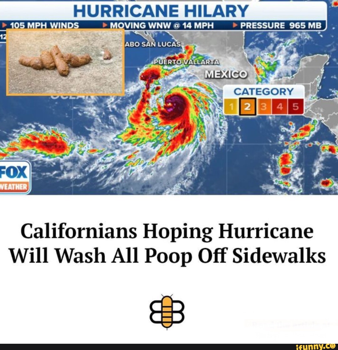
A hurricane with a central pressure of 965 millibars (mb) typically aligns with a Category 2 rating on the Saffir-Simpson Hurricane Wind Scale, but this measurement often masks a more complex and dangerous reality. While wind speed determines the category, the 965 mb pressure serves as a primary indicator of the storm's potential energy, often leading to significant storm surges and expansive wind fields that can catch coastal communities off guard.
In the field of meteorology, the relationship between barometric pressure and wind speed is one of the most vital yet misunderstood correlations. As we navigate the 2026 hurricane season, understanding why a "mere" Category 2 storm with a 965 mb core can be more destructive than a compact Category 3 is essential for emergency management and public safety. This analysis explores the physics of pressure gradients, the historical precedents of 965 mb systems, and the technical reasons why the Saffir-Simpson Scale doesn't tell the whole story.
The Relationship Between Barometric Pressure and Wind Speed
At its most fundamental level, a hurricane is a heat engine driven by the pressure difference between its center and the surrounding environment. The millibar (mb) is a unit of pressure; the lower the pressure at the center of a storm, the more intense the "vacuum" effect that draws air inward. Standard sea-level pressure is approximately 1013.25 mb. A drop to 965 mb represents a significant atmospheric deficit, creating a powerful pressure gradient.
The pressure gradient force is the primary driver of wind. When pressure drops rapidly over a short distance, the wind accelerates to fill that void. However, a 965 mb central pressure does not always translate to the same wind speed. Several factors influence whether a 965 mb storm produces Category 2 winds (96–110 mph) or something higher or lower:
- The Size of the Eye: A large, ragged eye spreads the pressure gradient over a wider area, often resulting in lower peak wind speeds even if the central pressure is quite low.
- Environmental Pressure: If the surrounding high-pressure systems are exceptionally strong (e.g., 1030 mb), the gradient between the 965 mb center and the exterior is steeper, leading to higher winds.
- Latitude and Coriolis Effect: Storms at higher latitudes require lower pressures to generate the same wind speeds as storms in the tropics due to the varying influence of the Earth's rotation.
- The Radius of Maximum Winds (RMW): This is the distance from the center of the storm to the strongest winds. A 965 mb storm with a small RMW is often a "tight" and high-intensity system, whereas a large RMW indicates a broad, sprawling storm.
Why 965 mb is a Significant Threshold
In the history of the National Hurricane Center (NHC) records, 965 mb has often been the "tipping point" between Category 2 and Category 3 status. Historically, a pressure of 965 mb was frequently associated with Major Hurricanes (Category 3 or higher). However, in recent decades, meteorologists have observed more "bloated" storms—systems with very low central pressures that only produce Category 1 or 2 sustained winds.
This discrepancy is what makes the 965 mb Category 2 threat "surprising." To the layperson, a Category 2 storm may seem manageable. However, the 965 mb pressure indicates a massive amount of displaced atmosphere. This displacement is the primary driver of storm surge. Because the low pressure allows the ocean surface to rise and the broad wind field pushes a vast "mound" of water toward the shore, a 965 mb Category 2 storm can produce a storm surge more typical of a Category 4.
Comparison of Pressure vs. Wind Speed in Notable Storms
The following table illustrates how 965 mb (and surrounding values) can result in wildly different storm classifications based on the Saffir-Simpson Scale.
| Storm Name | Year | Central Pressure (mb) | Peak Category | Sustained Winds (mph) |
|---|---|---|---|---|
| Hurricane Irene | 2011 | 959 mb | Category 1 (at landfall) | 85 mph |
| Hurricane Arthur | 2014 | 973 mb | Category 2 | 100 mph |
| Hurricane Kate | 1985 | 967 mb | Category 2 | 100 mph |
| Hurricane Sally | 2020 | 965 mb | Category 2 | 105 mph |
| Hurricane Diana | 1984 | 949 mb | Category 2 | 105 mph |
As seen in the data, Hurricane Irene (2011) had a pressure much lower than 965 mb (959 mb) but was only a Category 1 at its most impactful landfall. Conversely, Hurricane Sally in 2020 hit the 965 mb mark exactly as a high-end Category 2. This demonstrates that the pressure tells us about the storm's potential, while the category tells us only about the peak winds.
The Physics of the "Surprising" Category 2 Threat
To understand the danger of a 965 mb Category 2 storm, we must look at the integrated kinetic energy (IKE). IKE measures the total energy of the wind field, not just the highest wind speed at a single point.
The Storm Surge Factor
For every 1 millibar drop in pressure, the sea level rises approximately 1 centimeter due to the inverted barometer effect. While 965 mb only accounts for about 48 centimeters (1.5 feet) of "static" rise, the real danger is the wind's fetch. A 965 mb storm is almost always a large system. A large Category 2 storm exerts wind force over a massive surface area of the ocean. This pushes a much larger volume of water toward the coast than a small, compact Category 3 storm might.
Structural Damage and Duration
A 965 mb Category 2 hurricane often moves slower or has a wider wind field. This means that structures are subjected to 100 mph winds for a longer duration. While a Category 3 might pass quickly, the "surprising" Category 2 can batter a building for 12 to 24 hours, leading to cumulative structural fatigue, roof failure, and extensive water intrusion that a simple wind-speed rating fails to predict.
Inland Flooding Potential
Low-pressure systems are inherently efficient at lifting moisture. A 965 mb center indicates a deep convective structure. Even if the winds are "only" Category 2, the storm is capable of hauling massive amounts of tropical moisture inland. As these systems move over land, the friction slows the winds further, but the low-pressure core remains a focus for torrential rainfall.
Technical Limitations of the Saffir-Simpson Scale
The Saffir-Simpson Scale was created by Herbert Saffir and Robert Simpson in the early 1970s. Originally, it did include central pressure as a component. However, the NHC eventually removed pressure from the scale because the correlation between pressure and wind speed was not consistent enough for landfall predictions.
Today, the scale relies solely on the maximum sustained surface wind (a 1-minute average at 10 meters height). This focus on wind speed can be dangerous for public perception. If a 965 mb storm is forecast as a Category 2, residents may decide not to evacuate, ignoring the fact that the 965 mb pressure is indicative of a massive water-moving machine.
According to the National Oceanic and Atmospheric Administration (NOAA), the scale does not account for storm surge, rainfall, or storm size. This is why a 965 mb Category 2 is often described by meteorologists as a "sneaky" or "surprising" threat; the title suggests a moderate storm, but the barometric physics suggest a major geophysical event.
Evolution of Storms in 2026: The New Normal
As of 2026, we are observing a trend where hurricanes maintain lower central pressures while struggling to increase their maximum sustained winds. This is often attributed to vertical wind shear and ocean heat content. In some cases, the storm's core is being ventilated by upper-level winds, which prevents the wind speeds from "spinning up" to Category 3 levels, yet the overall low-pressure envelope remains intact.
Furthermore, warmer sea surface temperatures provide the raw energy needed to maintain a 965 mb core, even if the atmospheric structure is slightly disorganized. This leads to the "asymmetric" storms we see today—systems where the strongest winds might only be found in one quadrant, but the 965 mb pressure is felt across the entire diameter of the storm.
Preparedness and Mitigation for 965 mb Systems
When a storm is identified as having a 965 mb pressure but is "only" a Category 2, the following steps are critical for residents and emergency planners:
- Focus on the Surge Forecast: Ignore the category for a moment and look at the surge inundation maps. If the pressure is 965 mb, the surge potential is likely higher than the Category 2 label suggests.
- Check the Wind Field Width: Determine the radius of tropical-storm-force winds. A 965 mb storm often has a wind field extending 200+ miles from the center.
- Reinforce for Duration: Because these storms can be broad, ensure that generators have enough fuel for 72+ hours of power outages, as the duration of the storm will be longer than a compact system.
- Inland Water Management: For those away from the coast, a 965 mb pressure indicates a high potential for "training" rain bands (where rain clouds follow the same path repeatedly), leading to flash flooding.
FAQs
Is a 965 mb hurricane always a Category 2?
No. While 965 mb is the "standard" pressure for a Category 2 storm, it can vary. A very small, compact storm with 965 mb might reach Category 3 winds (111+ mph), while a very large, sprawling storm with 965 mb might only have Category 1 winds (74–95 mph). The category is strictly defined by wind speed, not pressure.
Why does pressure matter if the wind speed is what causes damage?
Pressure is the "engine" of the storm. While wind causes immediate structural damage, the low pressure is responsible for the storm surge and the overall scale of the system. A low-pressure storm (like 965 mb) will almost always have a more significant impact on sea levels than a higher-pressure storm with the same wind speeds.
Can a Category 2 hurricane cause more damage than a Category 3?
Yes, frequently. Damage is a factor of wind speed, storm surge, rainfall, and duration. A 965 mb Category 2 that moves slowly and has a wide wind field can cause far more economic loss and destruction than a fast-moving, compact Category 3 hurricane.
How do meteorologists measure the 965 mb pressure?
Pressure is measured using dropsondes—instrument packages dropped from "Hurricane Hunter" aircraft—and by automated weather buoys at sea. Satellites can also estimate pressure using the Dvorak technique, which analyzes the cloud patterns and eye temperature of the storm.
What was the lowest pressure ever recorded in a hurricane?
The record for the lowest central pressure in the Atlantic basin is held by Hurricane Wilma (2005) at 882 mb. In the Pacific, Typhoon Tip (1979) reached 870 mb. At these pressures, winds are almost always at Category 5 levels.
Moving Beyond the Category
The "surprising" nature of a 965 mb Category 2 threat highlights the need for a more holistic approach to hurricane preparedness. In 2026, we must look beyond the single-digit category number provided by the Saffir-Simpson Scale. The barometric pressure is a tell-tale sign of a storm's true character.
When you hear a storm has a central pressure of 965 mb, recognize it as a high-energy system. Even if the winds do not reach "Major Hurricane" status, the sheer volume of air and water being moved by that 965 mb vacuum is enough to cause life-threatening conditions. Always prioritize official evacuation orders and surge warnings over the wind-speed category.