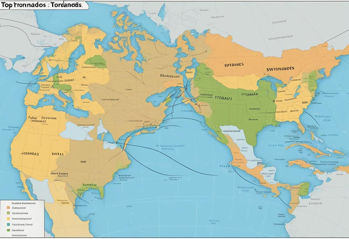
While many associate tornadoes primarily with the Great Plains of North America, Asia experiences tornadoes with significant frequency and intensity, though the phenomenon is often categorized under different local nomenclature and recognized through distinct meteorological patterns. Across the continent, these localized, violent windstorms represent a critical weather hazard, particularly in densely populated regions where infrastructure is often not designed to withstand tornadic wind speeds.
The Meteorological Reality of Tornadoes in Asia
In the scientific community, the term "tornado" refers to a violently rotating column of air extending from a cumulonimbus cloud to the ground. While the United States leads the world in reported tornadic activity due to the unique interaction between the Gulf of Mexico’s moisture and the cold air from the Rockies, Asia possesses its own geographical catalysts for convective instability.
Asia experiences tornadoes primarily in the mid-latitudes, particularly across the eastern half of the continent. The atmospheric conditions required for tornadogenesis—wind shear, moisture, and convective available potential energy (CAPE)—are present during the transition of seasons, particularly in the spring and early summer. As the Asian monsoon shifts, the interplay between heat from the continental landmass and moisture from the Bay of Bengal, the South China Sea, and the Pacific Ocean creates environments conducive to severe thunderstorms capable of producing supercells and, subsequently, tornadoes.
Regional Hotspots and Frequency
Tornado activity in Asia is not uniform. Geography plays a decisive role in where these systems originate and how long they persist.
Eastern China and the Yangtze River Basin
Eastern China is arguably the most tornado-prone region in the country. The flat topography of the eastern plains allows for the development of severe thunderstorms that encounter minimal surface friction, enabling them to sustain intensity. The region surrounding the Yangtze River, including provinces like Jiangsu and Anhui, frequently reports tornadic activity. Meteorological studies conducted by the China Meteorological Administration (CMA) indicate that these events often coincide with the "Meiyu" or plum rain season, where the interaction of cold and warm air masses creates a stationary front that acts as a focal point for severe convection.
The Indian Subcontinent and Bangladesh
Bangladesh and the eastern states of India (such as West Bengal) are among the most dangerous regions globally regarding tornadic impacts. The unique geography of the Ganges-Brahmaputra Delta, characterized by low elevation and high moisture content, provides an ideal incubator for severe storms known locally as Kal Baisakhi or "Nor'westers." These pre-monsoon thunderstorms can produce powerful, damaging tornadoes that often strike in the late afternoon or evening. Because these regions are densely populated with structures made of lighter, non-reinforced materials, the human impact of these events is disproportionately high.
Japan and the Philippine Archipelago
While tropical cyclones are the primary hazard in these island nations, tornadoes do occur. In Japan, these events are often referred to as tatsumaki. They are frequently associated with cold fronts or the outer rainbands of passing typhoons. Although Japanese tornadoes are generally smaller in physical scale than their American counterparts, they remain a significant threat to urban centers where high-rise architecture can create complex wind-tunnel effects, potentially increasing the damage profile of a touchdown.
Comparative Meteorological Metrics
To understand the scale of Asian tornadoes, it is necessary to examine how they align with standardized damage scales. While the Enhanced Fujita (EF) scale is the industry standard for rating tornado intensity based on damage, applying it in Asia requires careful calibration to local building codes and construction materials.
| Region | Primary Season | Typical Mechanism | Structural Vulnerability |
|---|---|---|---|
| China (East) | Spring/Summer | Cold/Warm Air Interaction | High (Residential) |
| Bangladesh | Pre-Monsoon | Nor'westers (Kal Baisakhi) | Very High (Light Structures) |
| Japan | Autumn/Winter | Cold Fronts/Typhoon Bands | Moderate (Urban/Infrastructure) |
| Philippines | Year-round | Monsoon/Typhoon Outflow | High (Coastal/Rural) |
Infrastructure and Public Safety Challenges
A significant challenge in managing tornado risk across Asia is the lack of a standardized, continent-wide warning system. In the United States, a mature infrastructure of Doppler weather radar and the National Weather Service provides minutes of lead time for tornado warnings. In many parts of Asia, warning systems are still evolving, and the focus of meteorological agencies remains heavily weighted toward typhoons, floods, and monsoonal rainfall.
Tornadic events in Asia are often categorized as "severe localized storms" in official reports, which can lead to a misunderstanding of the actual wind speeds involved. Furthermore, many buildings in rural areas of South and East Asia lack basements or safe rooms—standard features in high-risk zones elsewhere. The reliance on masonry or metal-sheet roofing, which can become lethal projectiles in high winds, significantly increases the risk to life during a touchdown.
The Role of Technology in Risk Mitigation
As of 2026, improvements in remote sensing and satellite meteorology are providing meteorologists in Asia with better tools to detect mesocyclones—the rotating updrafts that precede tornado formation. High-resolution satellite imagery from the Himawari series and regional radar networks are increasingly capable of identifying the signature characteristics of tornado-producing cells.
However, the "last mile" problem remains. Even if a radar detects a potential tornado, translating that data into actionable, life-saving alerts for millions of people in diverse, multi-lingual regions is a complex logistical task. Governments are increasingly turning to mobile-based early warning systems, which leverage the high penetration of cellular devices to push emergency notifications directly to users in the path of a potential storm.
Frequently Asked Questions
Are tornadoes in Asia as strong as those in the United States? While the vast majority of recorded tornadoes globally are at the lower end of the intensity scale, Asia has experienced significant events that would classify as EF3 or higher on the Enhanced Fujita scale. However, because of differences in building construction, a lower-intensity tornado in Asia can cause damage equivalent to a higher-intensity storm in the U.S.
Why are tornadoes often called by different names in Asia? Meteorology is often a local science, and regional terms like Kal Baisakhi or tatsumaki predate modern international meteorological classification. These names often describe the weather pattern or the season in which the storm occurs, rather than just the wind event itself.
Does climate change affect tornado frequency in Asia? Predicting the impact of climate change on tornadogenesis is notoriously difficult. While warmer temperatures generally increase available energy for storms, tornadoes require a delicate balance of wind shear and stability. Current research in 2026 suggests that while the intensity of convective storms may increase, the net effect on the specific formation of tornadoes remains a subject of ongoing atmospheric modeling.
How can I verify if my location is in a high-risk zone? Consult the national meteorological service of the country where you reside. These agencies maintain historical records and hazard maps. In the absence of a specific "tornado map," look for data on "severe convective wind events" or "localized storm damage."
What should I do if a tornado warning is issued? Move to the lowest level of a sturdy building. Stay away from windows, doors, and exterior walls. If no shelter is available, find a low-lying area and protect your head. Avoid staying in light-frame housing or vehicles during a confirmed severe thunderstorm warning.
Managing Future Risks
The reality of atmospheric hazards in Asia is that they are highly localized and often underestimated. As urban development continues to expand into previously rural areas, the "footprint" of human assets vulnerable to tornadoes is increasing.
To mitigate these risks, both individuals and policymakers must prioritize three key areas:
- Education: Improving public literacy regarding the signs of a tornado, such as the sudden onset of calm before a storm, a loud roar similar to a freight train, or a debris-filled funnel.
- Construction Standards: Incentivizing the use of wind-resistant roofing and stronger connections between roofs and walls in new developments.
- Communication: Supporting the expansion of community-based alert systems that operate independently of major infrastructure, which can be compromised during extreme weather events.
By acknowledging that Asia experiences tornadoes not as an anomaly, but as a recurring facet of its climate, regional authorities can shift from a reactive stance to a proactive strategy, ultimately saving lives through better preparation and informed action.