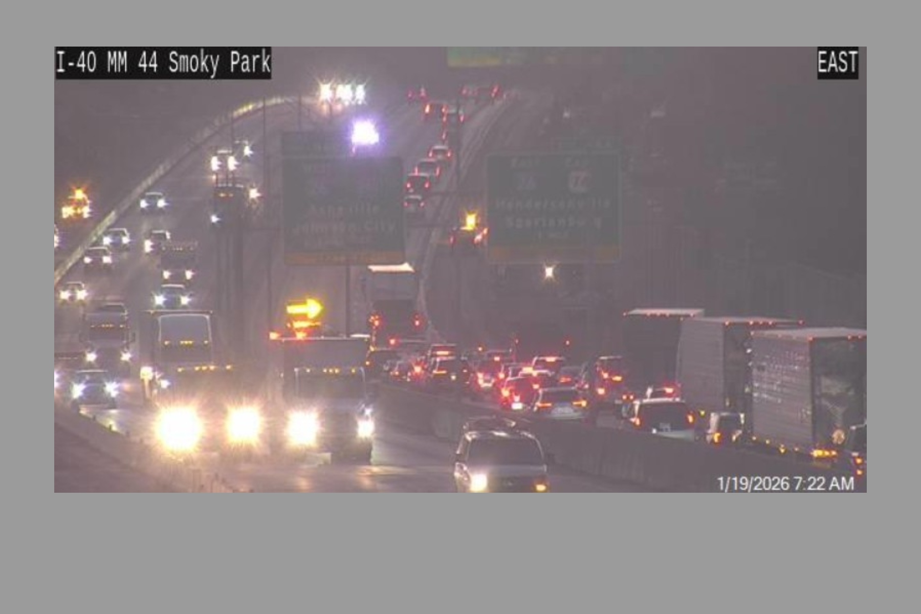
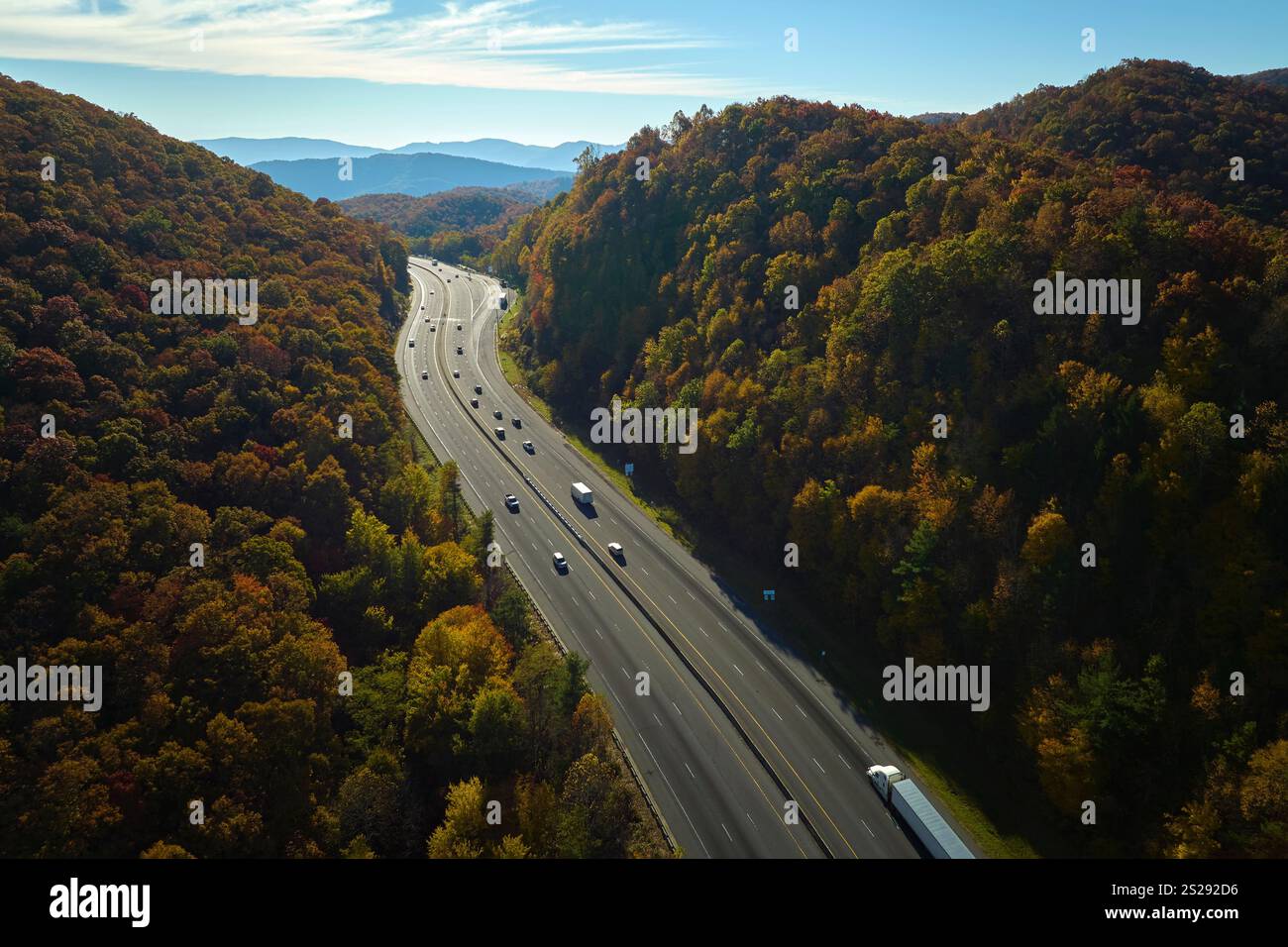
Navigating traffic on Interstate 40 through Asheville, North Carolina, requires careful planning, real-time monitoring, and an understanding of regional infrastructure projects. Because I-40 serves as a critical economic and commuter corridor weaving through the rugged Blue Ridge Mountains, localized congestion, construction zones, and severe weather events frequently disrupt normal travel times and impact regional mobility.
Understanding the Role of Interstate 40 in Western North Carolina
Interstate 40 is a major transcontinental highway stretching from Barstow, California, to Wilmington, North Carolina. Through Western North Carolina, however, the interstate transforms into a challenging mountain grade characterized by steep ascents, sharp curves, and heavy commercial freight traffic. The segment passing through Asheville acts as a vital arterial route connecting Tennessee to the Piedmont region of North Carolina, converging with other key highways such as Interstate 240 and Interstate 26.
For local commuters, regional delivery services, and long-haul truckers alike, this stretch of highway is indispensable. At the same time, its topography creates inherent bottlenecks. The combination of dense local traffic moving between suburban enclaves and downtown Asheville, mixed with heavy tractor-trailer volume navigating steep grades, means that traffic flow can degrade rapidly under normal conditions. When accidents, construction, or environmental factors occur, delays can extend for hours, affecting the entire regional transportation network.
Key Geographic and Engineering Challenges
The engineering reality of I-40 through Buncombe County presents unique management hurdles for the North Carolina Department of Transportation (NCDOT). Built largely through mountainous terrain alongside the French Broad River and various mountain gaps, the highway possesses limited shoulder space in multiple sections.
- Steep Grades: Heavy vehicles climbing mountain passes near the Eastern Continental Divide and surrounding gaps naturally lose speed, creating rolling slowdowns that affect passenger vehicles.
- Geological Instability: Mountainous terrain inherently introduces risks of rockfalls and slope failures, particularly during prolonged periods of heavy rainfall.
- High Traffic Density: The convergence of I-40, I-240, and I-26 forms the Asheville "Bowtie," a complex interchange system that concentrates significant regional traffic into a relatively compact footprint.
Major Factors Influencing Traffic Delays on I-40
Traffic behavior on I-40 in Asheville fluctuates predictably based on time of day, seasonal tourism, and unforeseen incidents. Recognizing these patterns helps drivers minimize unexpected delays and choose optimal travel windows.
Peak Commuting Hours and Daily Patterns
Like most urban and regional hubs, Asheville experiences distinct morning and evening rush hours. The morning peak typically runs from 7:00 AM to 9:00 AM, while the evening peak spans 4:00 PM to 6:30 PM. During these windows, commuter traffic from outlying areas—such as Waynesville to the west or Black Mountain to the east—swells the volume on I-40.
Commercial freight traffic remains relatively constant throughout the day, but trucking restrictions, delivery schedules, and shift changes can compound congestion during peak periods. Drivers traveling through the Asheville metro area during these hours should routinely build extra time into their schedules, especially if their routes require traversing the downtown interchanges.
Seasonal Tourism and Event Traffic
Asheville is a premier tourism destination, drawing millions of visitors annually to attractions like the Biltmore Estate, the Blue Ridge Parkway, and the surrounding Pisgah National Forest. This tourism brings significant seasonal traffic spikes:
- Fall Foliage Season (October): Peak leaf-looking season brings an immense influx of visitors, causing severe weekend congestion on I-40, particularly near exits leading to scenic byways and mountain passes.
- Summer Peak: Warm-weather vacationers increase overall vehicle counts from June through August, leading to heavier midday and weekend traffic volumes.
- Special Events and Festivals: Downtown festivals, concerts, and holiday weekends frequently spill over onto the interstate corridors, creating sudden localized gridlock near urban exits.
Infrastructure Projects and Maintenance Impacts
Maintaining an aging interstate highway in a mountainous environment requires continuous upkeep. NCDOT manages numerous bridge replacements, paving operations, and safety improvements along I-40 in Buncombe County.
Construction zones often feature narrowed lanes, reduced speed limits, and temporary shifts in traffic patterns. While night work is frequently utilized to minimize daytime disruptions, major rehabilitation projects require long-term lane closures or traffic pacing. Motorists must remain vigilant, obey posted work-zone speed limits—which often carry doubled fines—and watch for sudden stops ahead of active construction sites.
Major Interchange Improvements and Safety Upgrades
Over recent years, NCDOT has prioritized modernizing interchanges along the I-40 corridor to reduce merge conflicts and accommodate higher traffic volumes. Upgrades often include redesigned ramps, extended acceleration and deceleration lanes, and advanced electronic signage to warn motorists of downstream incidents. Keeping track of active project portals via official state transportation websites helps drivers anticipate permanent or semi-permanent routing changes.
Real-Time Traffic Monitoring and Information Sources
Relying on static maps is insufficient when navigating I-40 through Asheville. Because mountain weather and sudden accidents can alter conditions in minutes, drivers should utilize live tracking resources before and during their journey.
- NCDOT Official Travel Information System: Providing up-to-the-minute updates on accidents, maintenance closures, and weather-related restrictions via online mapping portals and the DriveNC system.
- Dynamic Message Signs (DMS): Overhead electronic boards positioned along the interstate display estimated travel times, warning alerts, and closure notifications.
- Crowdsourced Navigation Apps: Applications such as Waze, Google Maps, and Apple Maps offer real-time routing adjustments based on user reports and live speed data, though drivers should exercise caution and obey local laws regarding mobile device usage.
| Information Source | Primary Utility | Best Used For |
|---|---|---|
| DriveNC.gov | Official state-managed incident and construction data | Pre-trip route planning and verifying long-term closures |
| Overhead DMS Boards | Real-time alerts on immediate hazards and delays | Immediate tactical decisions while driving |
| Navigation Apps | Dynamic rerouting around sudden accidents | Real-time alternative route generation |
| Local Radio / Traffic Reports | Broad overview of regional gridlock and major accidents | General situational awareness during commutes |
Alternative Routes Around I-40 Congestion
When a major accident, severe weather event, or construction backup brings I-40 to a standstill, knowing local bypass options can save hours of delay. However, drivers should note that alternative routes through the mountains often consist of narrow secondary roads that can also become congested if traffic is heavily diverted.
Utilizing Interstate 240 as an Urban Bypass
For travel directly through or around downtown Asheville, Interstate 240 serves as the northern loop alternative to the southern sweep of I-40. While I-240 has its own peak-hour congestion points—particularly around the bridges crossing the French Broad River—it provides a vital alternate path for drivers looking to bypass specific segments of I-40 south of the city core.
Secondary Highways and Local Detours
- US-74 / US-74A (Hyperion Drive / Charlotte Highway): Useful for travel east toward Black Mountain and Chimney Rock, offering an alternative parallel path to portions of I-40.
- US-19 / US-23 (future I-26 corridor): Serves northern approaches and connections, useful for travelers shifting between western mountain regions and the northern Asheville suburbs.
- State Route 191 (Biltmore Avenue / Brevard Road): Serves as a primary local connection for south Asheville, though local traffic volume can be heavy during business hours.
Safety Protocols and Emergency Preparedness on Mountain Interstates
Driving mountain interstates demands heightened vigilance. Rapidly changing weather patterns—including sudden mountain fog, heavy downpours, black ice during winter months, and high winds—can drastically alter road safety on I-40.
Best Practices for Mountain Driving
- Maintain Safe Following Distances: Larger stopping distances are required on steep grades, especially when operating heavy vehicles or towing trailers.
- Use Lower Gears on Descents: Prevent brake fade and overheating by engaging lower gears when descending steep mountain grades rather than riding the brakes continuously.
- Keep Fuel and Supplies Up: In the event of an extended standstill due to a major accident or severe weather closure, maintaining at least a half-tank of fuel and carrying emergency water and supplies is essential.
- Move Over Laws: North Carolina law requires drivers to move over one lane or slow down significantly when approaching stopped emergency vehicles, maintenance crews, or tow trucks with flashing lights.
Frequently Asked Questions About Asheville Traffic on I-40
What are the worst times to drive on I-40 through Asheville?
The heaviest congestion typically occurs during weekday morning rush hours (7:00 AM to 9:00 AM) and evening rush hours (4:00 PM to 6:30 PM). Additionally, Friday afternoons, Sunday evenings, and peak autumn foliage weekends experience severe tourism-related delays.
How can I check live traffic conditions on I-40 before leaving?
Drivers can check real-time road conditions, accidents, and construction updates by visiting the official North Carolina Department of Transportation travel portal at DriveNC.gov or by consulting live GPS navigation applications.
Are there reliable alternative routes if I-40 is blocked?
Depending on where the blockage occurs, Interstate 240 serves as a useful urban loop bypass. For eastern and western approaches, secondary corridors like US-74 and local state highways can be utilized, though drivers should monitor GPS apps for live updates on secondary road congestion.
What causes the most frequent delays on this stretch of I-40?
Delays are most frequently caused by rush-hour commuter volume, tractor-trailer slowdowns on steep mountain grades, weather events such as heavy rain or fog, and unexpected motor vehicle accidents or construction lane closures.
Is truck traffic heavily restricted on I-40 through Asheville?
Commercial trucks must adhere to standard federal and state regulations regarding weight, size, and hazardous materials. While trucks are permitted on this stretch of I-40, they must navigate steep terrain where climbing lanes are provided to help maintain traffic flow.
Conclusion and Next Actions
Navigating traffic on I-40 through Asheville requires a combination of preparation, real-time monitoring, and flexibility. Because the corridor combines heavy commercial freight, local commuters, and seasonal tourists within a challenging mountain environment, unexpected delays can occur at any time. Before embarking on your journey, check live status updates via official state resources like DriveNC.gov, monitor dynamic highway signs, and remain aware of weather conditions. By planning your travel windows outside peak hours and familiarizing yourself with potential alternative routes, you can ensure a safer and more efficient trip through the Asheville area.