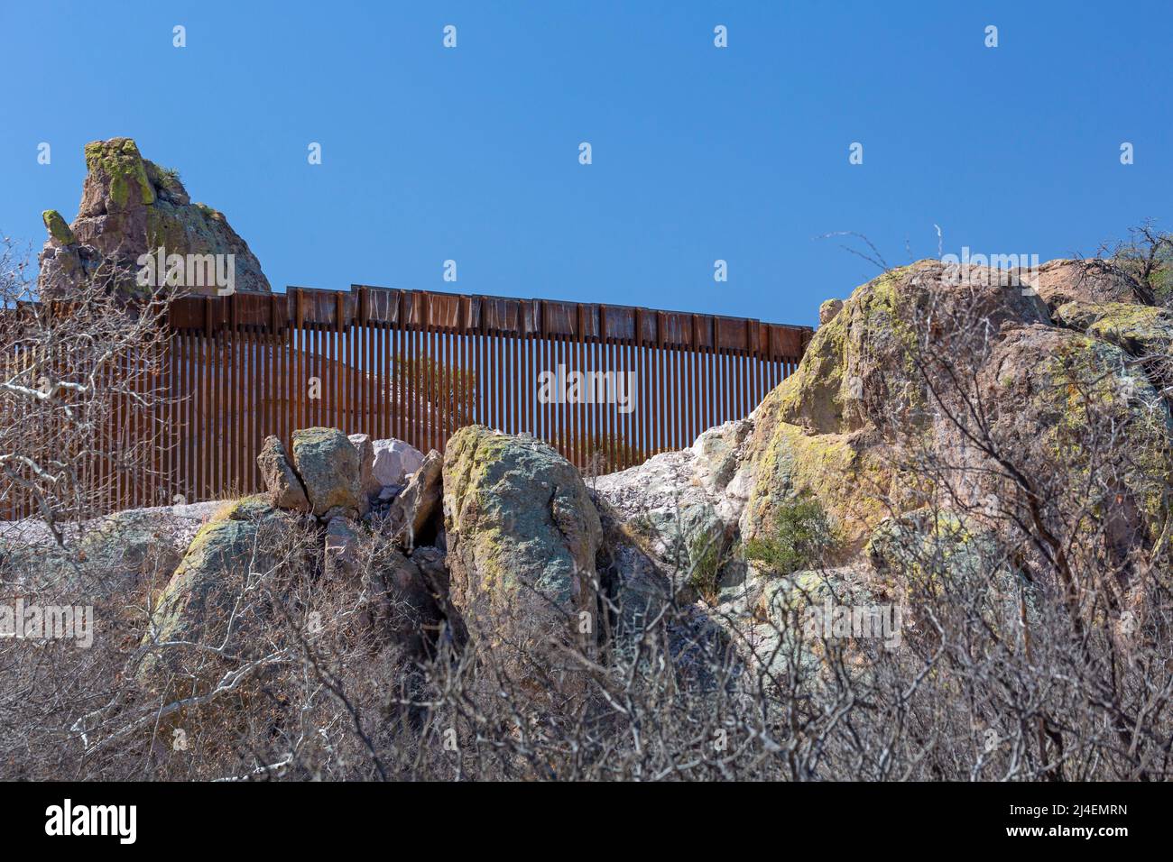
Understanding the layout and physical presence of barrier infrastructure along the United States-Mexico international boundary requires examining official geographical data, land ownership patterns, and security installations. An Arizona border wall map typically details the distribution of bollard fence segments, vehicle barriers, and tactical infrastructure spanning Arizona's roughly 373-mile frontier with Mexico, highlighting where physical barriers exist alongside natural obstacles like the Sonoran Desert and rugged mountain ranges.
Understanding the Arizona Border
The international boundary between Arizona and the Mexican state of Sonora stretches approximately 373 miles from the western monument near San Luis, Arizona, to the eastern border with New Mexico near Douglas. This terrain encompasses a diverse and often harsh geographic profile, shifting from rolling sand dunes and the arid expanses of the Sonoran Desert to the steep elevations of the Huachuca and Patagonia Mountains.
Because of this varied topography, constructing continuous physical barriers has never been a straightforward engineering task. Historical deployment maps show that infrastructure projects have historically concentrated near populated ports of entry and high-traffic transit corridors, leaving vast stretches of remote wilderness reliant on natural topography, electronic surveillance, and mobile law enforcement patrols rather than steel bollards.
Land Ownership and Jurisdiction Along the Border
One of the most critical elements illustrated on any comprehensive border infrastructure map is the complex mosaic of land ownership. Unlike sections of the border in Texas, which are predominantly private property, a significant portion of Arizona’s borderlands are public lands managed by various federal, state, and tribal entities.
Navigating or analyzing border maps requires recognizing these distinct jurisdictional boundaries, as construction, access rights, and environmental regulations differ radically depending on who administers the land:
- Federal Lands: Large swaths of the Arizona border pass through areas managed by the Department of the Interior, including the Bureau of Land Management (BLM), the U.S. Fish and Wildlife Service (encompassing refuges like the Cabeza Prieta and Buenos Aires National Wildlife Refuges), and the National Park Service (such as Organ Pipe Cactus National Monument).
- Tribal Sovereign Nations: The Tohono O'odham Nation shares approximately 62 miles of international boundary with Mexico. Tribal sovereignty plays a decisive role in border infrastructure decisions, as the Nation maintains independent governance over its lands and border policies.
- State and Private Trust Lands: Sections near urban centers like Nogales, Yuma, and Douglas intersect with state trust lands and private parcels, where local zoning and state regulations apply.
Evolution of Border Infrastructure Segments
Border barrier projects in Arizona have evolved across multiple presidential administrations, shifting from rudimentary wire fences and vehicle deterrents to standardized steel bollard walls standing 18 to 30 years feet tall. Mapping these developments reveals distinct operational phases and engineering standards.
The Yuma Sector
In the westernmost portion of the state, the Yuma Sector covers the border from the California state line eastward to the Imperial National Wildlife Refuge boundary. This region has historically featured extensive urban and agricultural barrier systems. Maps of the Yuma area typically highlight high-density pedestrian fencing integrated with reinforced levee roads, lighting systems, and comprehensive all-weather access roads for the U.S. Border Patrol.
The Tucson Sector
Spanning the vast majority of Arizona's border—from the western edge of the Yuma Sector to the New Mexico state line—the Tucson Sector covers some of the most remote and environmentally sensitive terrain in the country. Barrier development here is heavily fragmented. While high-security steel bollard walls are present around urban hubs like Nogales and Douglas, vast stretches between these ports of entry consist of vehicle barriers, vehicle-rated fences, or entirely un-fenced wilderness areas where monitoring relies on remote camera towers, ground sensors, and radar.
Summary of Arizona Border Infrastructure Types
| Infrastructure Type | Typical Height / Specifications | Primary Operational Purpose | Common Geographic Locations |
|---|---|---|---|
| Pedestrian Steel Bollard Wall | 18 to 30 feet, filled with concrete and reinforced with internal rebar | Prevent unauthorized foot entry and slow climbing attempts | Urban centers, high-traffic corridors, ports of entry |
| Vehicle Barriers | 3 to 6 feet, constructed of rail or steel pipes (e.g., Normandy barriers) | Prevent unauthorized off-road vehicle crossings | Remote desert floors, washes, flat terrain |
| Tactical Infrastructure Roads | Graded dirt or paved all-weather roads | Provide rapid patrol and maintenance access for federal agents | Alongside primary barrier lines across all sectors |
| Electronic Surveillance Systems | Mobile and fixed towers, radar, seismic sensors | Detect movement and tracking in un-fenced or remote terrain | National wildlife refuges, mountain passes, open desert |
Environmental, Legal, and Logistical Considerations
Analyzing map data related to border barriers invariably intersects with complex environmental and legal frameworks. The construction of barrier walls across federal public lands has historically involved waivers of major environmental statutes—such as the National Environmental Policy Act (NEPA), the Endangered Species Act (ESA), and the Clean Water Act—under statutory authorities granted to the Department of Homeland Security.
Conservation groups and scientific organizations frequently publish overlay maps tracking the ecological fragmentation caused by continuous steel barriers. These studies focus on how physical walls disrupt the migration corridors of native wildlife, including the endangered Sonoran pronghorn, bighorn sheep, and jaguars. Furthermore, permanent infrastructure installation across fragile desert washes can alter natural flood dynamics during heavy monsoon seasons, leading to localized erosion and debris accumulation against the barrier structures.
Public Access and Safety Precautions
For researchers, journalists, and travelers utilizing maps of the Arizona borderlands, safety and legal access are paramount. Much of the land immediately adjacent to the international boundary is subject to restricted access, temporary closures by federal land managers, or active law enforcement operations conducted by U.S. Customs and Border Protection (CBP).
- Recreational Limits: Certain areas within national wildlife refuges and national monuments feature permanent or seasonal trail closures. Visitors should consult official agency websites (such as the BLM or National Park Service) before traveling near remote border regions.
- Environmental Hazards: The desert environment presents severe physical risks, including extreme summer temperatures, lack of potable water, and rugged terrain. Cell phone coverage is frequently nonexistent in remote border sectors.
- Law Enforcement Presence: Travelers should expect heavy law enforcement traffic, electronic monitoring equipment, and temporary checkpoints on major highways leading north from the border region.
Frequently Asked Questions
What is an Arizona border wall map used for?
An Arizona border wall map is typically used by researchers, journalists, policymakers, and government agencies to analyze the geographic distribution of physical barriers, land ownership jurisdictions, and tactical infrastructure along the Arizona-Mexico international boundary.
Are there continuous physical walls along the entire Arizona border?
No. While physical barriers exist in urban and high-traffic areas like Yuma and Nogales, large portions of the Arizona border—particularly within remote wilderness areas, mountain ranges, and tribal lands such as the Tohono O'odham Nation—rely on natural topography, vehicle barriers, and electronic surveillance rather than continuous walls.
Who manages the land where border infrastructure is built in Arizona?
Land ownership along the Arizona border is highly fragmented. Infrastructure is situated on federal public lands managed by agencies like the Bureau of Land Management and the U.S. Fish and Wildlife Service, tribal lands governed by sovereign nations, state trust lands, and private property.
How does border infrastructure impact local wildlife?
Continuous steel bollard walls and associated tactical roads can fragment habitats and disrupt migratory corridors for native desert species, such as the Sonoran pronghorn and desert bighorn sheep, prompting ongoing study and debate among conservationists and federal planners.
Is public access restricted near the Arizona border wall?
Yes. Certain areas adjacent to the international boundary are subject to federal land closures, restricted access zones, and active law enforcement operations. Travelers and researchers must verify current public access rules with relevant land management agencies before entering remote border regions.