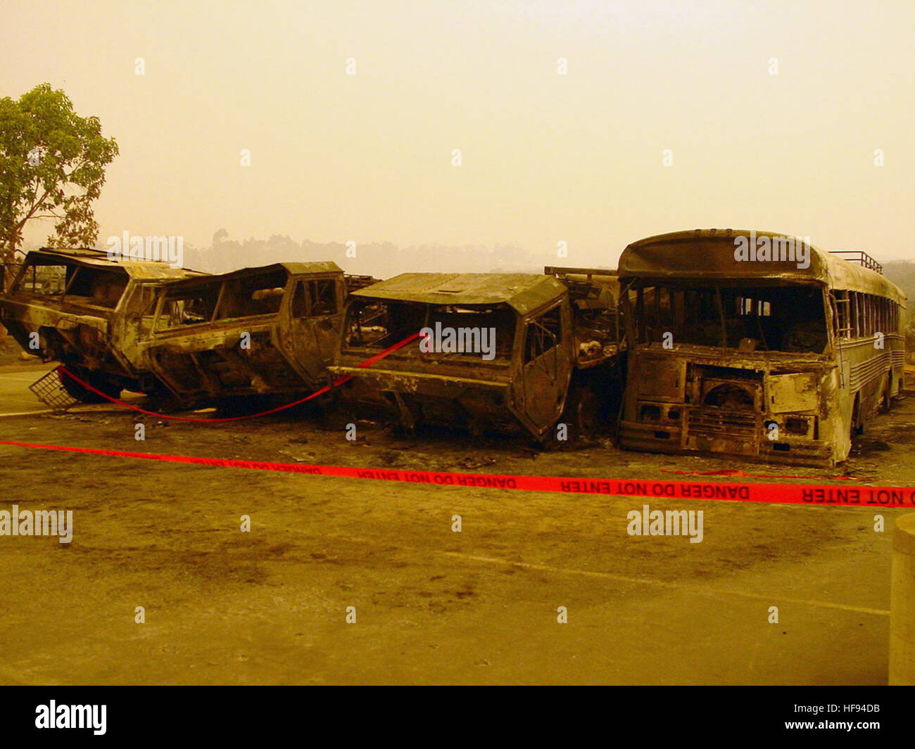
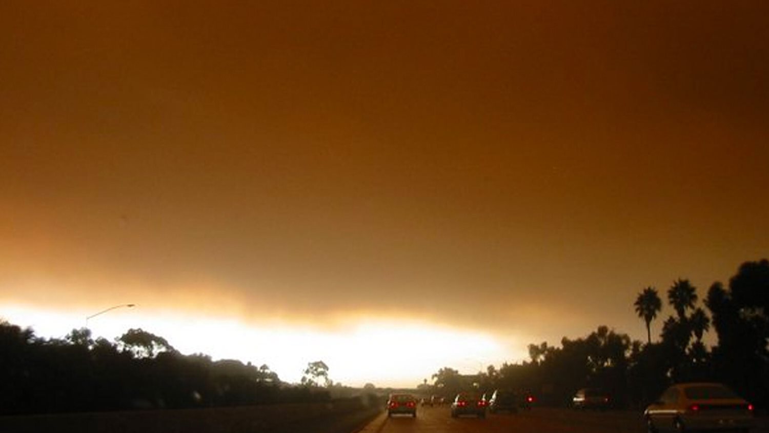
The 2003 San Diego County wildfires, headlined by the devastating Cedar Fire, were a catastrophic turning point in Southern California history. Ignited in late October 2003 during severe Santa Ana wind conditions, the complex of fires burned over 390,000 acres, destroyed more than 2,200 homes, and claimed 15 lives, forever transforming regional emergency response, firefighting coordination, and wildland-urban interface planning.
The Meteorological Setup: The Perfect Storm of October 2003
Southern California has a long history of seasonal wildfires, but the conditions leading up to the late October 2003 outbreak created an unprecedented crisis. Years of persistent drought across San Diego County left native chaparral, brush, and timber critically dry. Dead vegetation moisture content plummeted to historic lows, turning the landscape into a tinderbox.
Compounding this environmental vulnerability was the onset of the autumn Santa Ana wind pattern. These high-pressure systems build over the Great Basin of Nevada and Utah, forcing air downward and westward toward the coast. As the air compresses and warms, relative humidity drops into the single digits, while wind speeds escalate dramatically through canyons and mountain passes.
When these fierce, hot winds met the drought-stricken backcountry of San Diego County on October 21, 2003, multiple ignitions quickly escalated into uncontrollable mega-fires. The scale of the outbreak overwhelmed initial dispatch capabilities, stretching municipal, county, state, and federal firefighting resources to their absolute limits within the first twenty-four hours.
Anatomy of the Major Blazes
While the media coverage often generalizes the disaster, the 2003 outbreak was driven by several distinct fires that ultimately merged or burned concurrently across different corridors of the county. Understanding the specific trajectory of these fires illustrates the sheer geographic scope of the disaster.
The Cedar Fire
By far the largest and most destructive fire of the complex, the Cedar Fire began near Ramona on the evening of October 21, 2003. Sparked illegally by a lost hunter signaling for help, the fire was instantly fanned by 60-mph Santa Ana winds. It swept rapidly westward through the San Vicente Valley, jumping major highways and descending upon suburban developments in Scripps Ranch, Paradise Hills, and Tierrasanta.
At its peak spread, the Cedar Fire burned an astonishing acre per second. It crossed Interstate 15, trapped motorists, destroyed entire residential blocks, and burned into the eastern edges of the city of San Diego. By the time it was contained, the Cedar Fire had consumed 273,246 acres, destroyed 2,232 homes, and caused 12 fatalities, including a veteran firefighter.
The Paradise Fire
Ignited on October 26 near Julian, the Paradise Fire tore through steep, rugged terrain in the east county. Fueled by dry chaparral and driven by erratic winds, it threatened historic mountain towns like Julian and Cuyamaca. The fire burned 56,700 acres, destroyed over 200 homes, and resulted in two fatalities as residents attempted to evacuate narrow mountain roads.
The Dulin and Otay Fires
While the Cedar and Paradise fires captured national headlines, smaller concurrent blazes compounded the regional emergency. The Otay Fire in the south county burned near the international border, while the Dulin Fire and other smaller incidents drained remaining tactical assets. The cumulative effect was a region entirely encircled by smoke, ash, and active flame fronts.
| Fire Name | Date Started | Total Acres Burned | Structures Destroyed | Fatalities |
|---|---|---|---|---|
| Cedar Fire | October 21, 2003 | 273,246 | 2,232 | 12 |
| Paradise Fire | October 26, 2003 | 56,700 | 221 | 2 |
| Otay Fire | October 21, 2003 | 46,291 | 6 | 0 |
| Total Complex | October 2003 | ~393,000+ | ~2,475+ | 15 |
Human Toll, Infrastructure Damage, and Environmental Impact
The true cost of the 2003 San Diego fires extended far beyond acreage and property tallies. The disaster exposed deep vulnerabilities in regional infrastructure, communication systems, and community preparedness.
Displacement and Evacuation Chaos
Tens of thousands of residents received mandatory or voluntary evacuation orders under harrowing conditions. Power grids failed as transmission poles burned, plunging neighborhoods into darkness and disabling electric garage doors and water pumps. Communication networks collapsed under the sheer volume of emergency calls and cellular traffic, leaving evacuees and emergency responders struggling to coordinate movements.
Major thoroughfares like Interstate 15 became gridlocked corridors of smoke and fleeing vehicles. Schools, Qualcomm Stadium, and community centers transformed into massive evacuation shelters, housing thousands of displaced families and displaced pets for weeks.
Ecological Devastation
The environmental impact on San Diego County's native ecosystems was profound. Over 40% of the Cleveland National Forest was burned. Rare and endangered native species, such as the Arroyo toad and various chaparral-dependent birds, suffered massive habitat loss.
Furthermore, the stripping of the landscape created severe secondary hazards. Winter rains following the fires triggered catastrophic mudslides and debris flows in steep burn scars, silting reservoirs and destroying additional property in valleys below.
Emergency Response Failures and Institutional Revelations
The 2003 fires served as a harsh wake-up call for emergency management agencies across California and the United States. Numerous post-incident reviews and investigative reports highlighted critical systemic flaws:
- Interoperability Deficits: Local, state, and federal agencies frequently operated on different radio frequencies, making real-time tactical communication difficult during mutual-aid operations.
- Resource Delays: Because multiple massive fires erupted simultaneously across Southern California, state and federal air tankers and ground crews were spread thin, delaying reinforcement in remote San Diego sectors.
- Wildland-Urban Interface (WUI) Vulnerability: Rapid suburban expansion into canyons and foothill brush zones had outpaced municipal fire code enforcement and defensible space clearing.
Legacy and Modern Transformations
The tragedy of 2003 permanently changed how San Diego County and the state of California approach wildfire preparedness, suppression, and recovery.
Aviation and Technological Advancements
In the years following the disaster, regional authorities recognized the critical need for rapid initial attack capabilities. This realization catalyzed the creation of programs like the San Diego Gas & Electric (SDG&E) aviation partnership, which funds heavy-lift firefighting helicopters capable of dropping water drops at night and during high winds when traditional fixed-wing aircraft are grounded. Furthermore, automated weather stations were installed throughout high-risk backcountry corridors to provide microclimate data to meteorologists and fire chiefs.
Enhanced Defensible Space and Building Codes
Building regulations underwent major overhauls. California updated its building codes (Chapter 7A) to mandate fire-resistant materials for new homes built in high-risk zones—requiring dual-pane windows, ember-resistant attic vents, non-combustible siding, and tile roofs. Property owners in the wildland-urban interface faced stricter enforcement of 100-foot defensible space clearances, removing ladder fuels and flammable vegetation surrounding structures.
Improved Evacuation and Notification Systems
The communication failures of 2003 prompted the implementation of advanced mass notification systems. Modern reverse-911 systems, geo-targeted wireless emergency alerts (WEAs), and social media integration now allow emergency services to deliver precise, rapid evacuation warnings directly to mobile devices within specific threat zones.
Frequently Asked Questions
What caused the 2003 Cedar Fire in San Diego?
The Cedar Fire was started on October 21, 2003, by a lost hunter, Sergio Martinez, who ignited a signal fire in the Cleveland National Forest near Ramona to alert rescuers. The fire immediately escaped containment due to extreme drought and severe Santa Ana winds.
How many homes were destroyed during the 2003 San Diego fires?
Across the entire county complex—led by the Cedar and Paradise fires—approximately 2,475 structures were destroyed, including more than 2,200 single-family residential homes, leaving thousands of families temporarily or permanently displaced.
Why were the 2003 fires so destructive?
The destruction was driven by a combination of severe multi-year drought, exceptionally dry chaparral vegetation, low relative humidity, and fierce Santa Ana wind gusts exceeding 60 mph. These conditions allowed the fires to spread at explosive speeds, overwhelming initial containment efforts.
How did the 2003 fires change firefighting in San Diego?
The disaster led to sweeping reforms, including improved radio interoperability among agencies, stricter residential building codes for fire-resistant materials in high-risk zones, mandatory 100-foot defensible space enforcement, and the deployment of dedicated regional firefighting helicopters.
What is the primary lesson learned from the Cedar Fire?
The primary lesson is the critical importance of early evacuation warnings, robust personal and community emergency planning, and aggressive initial attack strategies in the wildland-urban interface to prevent spot fires from merging into unstoppable mega-fires.
Conclusion and Next Actions
The 2003 San Diego fires remain a defining chapter in the region's modern history, underscoring the relentless power of nature and the vital importance of preparedness. For residents living in or near Southern California's wildland-urban interface, reviewing historical events like the Cedar Fire serves as a reminder to maintain defensible space, harden homes against flying embers, register for local emergency alert systems, and maintain a ready-to-go evacuation kit.