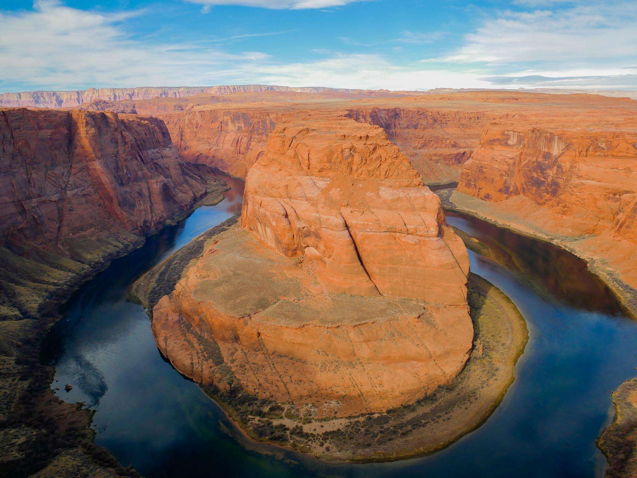
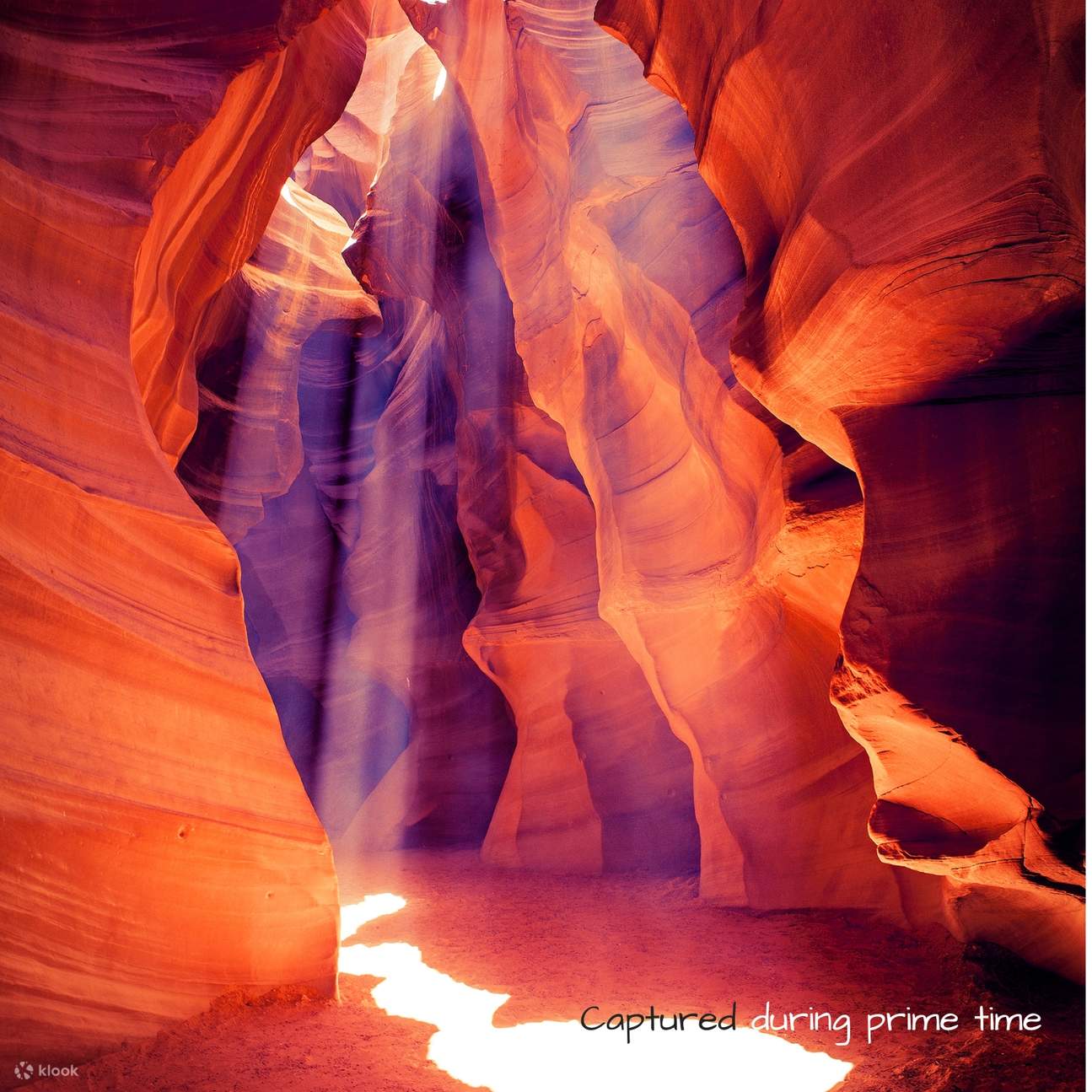
The distance from Antelope Canyon, located near Page, Arizona, to Las Vegas, Nevada, is approximately 275 to 285 miles. Depending on your chosen route and traffic conditions, this drive typically requires between 4.5 and 5.5 hours of travel time. While the most common route follows US-89 and I-15, regional geography and road conditions often dictate the final duration of your trip.
Geographic Overview of the Route
The journey from Antelope Canyon to Las Vegas connects the high-desert landscapes of Northern Arizona with the metropolitan environment of Southern Nevada. Because Antelope Canyon is situated on the Navajo Nation land near the town of Page, travelers departing from the site must first navigate through Page before connecting to major arterial highways.
The route is defined by significant elevation changes and traverses some of the most scenic terrain in the American Southwest. Travelers often choose to depart in the morning to maximize daylight hours, as the route passes through remote stretches where services, such as gas stations and cellular connectivity, are sparse. Understanding the topography is essential for safe driving; you will descend from the Colorado Plateau toward the lower basin of the Mojave Desert.
Primary Driving Routes and Expected Duration
Most travelers utilize the standard highway path, which is favored for its reliability and road maintenance. However, there are nuances to how these roads interact with the environment.
- The Standard Route via US-89 and I-15: This is the most direct path. You will head west from Page on US-89, eventually merging onto I-15 near the Utah-Arizona border. This route takes you through Kanab, Utah, and then southward through the scenic Virgin River Gorge. This specific segment of I-15 is narrow, winding, and prone to wind-related delays, which can occasionally impact travel speeds.
- Alternative Considerations: Some travelers attempt to take secondary state routes to avoid construction or to see specific landmarks like the North Rim of the Grand Canyon. It is critical to consult real-time traffic and weather data before choosing these routes, as many rural roads in this region are unpaved or subject to seasonal flooding, which can add hours to your trip or make passage impossible for standard passenger vehicles.
Factors Influencing Travel Time
Several variables can shift your arrival time, regardless of the distance stated on a map.
- Traffic Conditions: While the majority of the drive is rural, the approach to Las Vegas via I-15 can experience significant congestion, particularly on Friday afternoons and Sunday evenings. The inflow of regional weekend traffic often slows travel significantly once you cross from Arizona into the outskirts of Nevada.
- Time Zone Discrepancies: One of the most common pitfalls for travelers in this region involves the observance of Daylight Saving Time. The Navajo Nation observes Daylight Saving Time, but the state of Arizona (outside of the Navajo Nation) does not. Additionally, Utah and Nevada follow different time-keeping protocols. Always verify your current time and the local time in both Page and Las Vegas to ensure you do not miss tour appointments or hotel check-in windows.
- Weather and Seasonal Impacts: During the summer months, temperatures along the route can exceed 110 degrees Fahrenheit. Vehicle cooling systems must be in optimal condition. Conversely, in the winter, the higher elevations near Page and throughout Southern Utah can experience snow and ice, leading to temporary road closures on I-15 and US-89.
Essential Comparison: Driving Routes
The following table outlines the key characteristics of the main driving paths between Antelope Canyon and Las Vegas.
| Route Feature | Standard (US-89 / I-15) | Scenic / Secondary Routes |
|---|---|---|
| Approximate Distance | 280 Miles | 300+ Miles |
| Average Time | 4.5 – 5.5 Hours | 6 – 8+ Hours |
| Road Type | Mostly Interstate / Highway | Primarily State / Rural Roads |
| Service Availability | Frequent (Gas, Food, Cellular) | Limited to Non-existent |
| Best Used For | Direct travel and efficiency | Sightseeing and photography |
Navigational Requirements and Safety Preparation
Before departing for Las Vegas, you must prioritize vehicle preparation. This region is geographically unforgiving. Ensure your vehicle has a spare tire that is properly inflated and that you carry at least one gallon of water per person.
Cellular service is notoriously unreliable in the stretch between Page and St. George. It is strongly recommended to download offline versions of your navigation maps. Relying on streaming map services without an offline backup can leave you stranded without guidance in areas where GPS signals may struggle or data roaming is unavailable. Furthermore, ensure your fuel tank is at least half full before leaving Page; the gaps between fueling stations in rural Utah and Northern Arizona can exceed 50 miles.
Public Transit and Alternative Transportation
For those who do not wish to drive, options are limited. There is no direct train service connecting Page to Las Vegas. While some private shuttle companies and tour operators provide transfer services, these are typically booked as part of a package deal rather than as standalone public transportation. These services are often expensive and operate on rigid schedules. If you are relying on a shuttle, ensure that you have confirmed the pickup location in Page well in advance, as tour operators often meet at specific visitor centers or hotel lobbies rather than public bus terminals.
Common Mistakes to Avoid
- Underestimating Mountain Weather: Do not assume that because Las Vegas is warm, the entire drive will be free of weather hazards. The transition through high-altitude regions can introduce sudden fog, wind gusts, or precipitation.
- Ignoring Fuel Gauges: Never rely on the "distance to empty" indicator in a rental vehicle. These sensors can be inaccurate, and the strain of climbing grades through the mountains consumes fuel faster than flat-ground driving.
- Over-Scheduling: Trying to squeeze a tour of Antelope Canyon and a drive to Las Vegas into a single day can be exhausting. Many travelers find that breaking the journey with an overnight stay in a midway point, such as St. George or Hurricane, Utah, creates a more manageable and enjoyable experience.
Frequently Asked Questions
Does Antelope Canyon observe the same time as Las Vegas? Not necessarily. The Navajo Nation (where Antelope Canyon is located) observes Daylight Saving Time, whereas Nevada also observes it. However, the rest of Arizona does not. Always check the current local time in both locations to avoid confusion during seasonal transitions.
Is there a direct bus from Antelope Canyon to Las Vegas? There is no scheduled public bus system serving this specific route. Private shuttle services exist, but they are generally focused on tourism and require advanced reservations rather than functioning as traditional public transit.
What is the most dangerous part of the drive? The Virgin River Gorge on I-15 is considered the most challenging segment due to its sharp curves, narrow lanes, steep grades, and high susceptibility to sudden high-wind events. Drivers should maintain a cautious speed and remain alert for sudden traffic stoppages.
How much time should I allocate for a rental car return? Always add at least one hour of "buffer time" to your estimated arrival time. Traffic patterns on the I-15 approach to Las Vegas can be unpredictable, and finding your specific rental return facility at the Harry Reid International Airport can take longer than expected.
Are there places to eat along the way? Yes, towns such as Kanab, Utah, and St. George, Utah, provide the best opportunities for full-service dining. Smaller outposts exist, but their hours are often limited, particularly on weekends or during the off-season.
Recommended Next Actions
If you are planning this trip, verify your vehicle’s maintenance status two days before departure. Check the Arizona and Utah Department of Transportation websites for active road construction alerts on US-89 and I-15. If traveling in winter, confirm that your tires are rated for potential snow conditions. Finally, download your route maps to your phone and keep a physical atlas in your glove box as a redundant safety measure.