Choosing where to live in Houston involves navigating a vast, polycentric metropolitan area defined by its lack of restrictive zoning, diverse job hubs, and varied cultural enclaves. Whether you prioritize proximity to the Texas Medical Center, access to Energy Corridor industries, or a specific lifestyle rooted in historic neighborhoods or modern suburban master-planned communities, the city offers distinct options tailored to different life stages and commuting requirements.
Houston operates as a collection of diverse neighborhoods rather than a single, monolithic urban core. The city is defined by the 610 Loop, the Beltway 8 (Sam Houston Tollway), and the Grand Parkway (State Highway 99), which serve as the primary geographical markers for evaluating housing accessibility and commuting times. In 2026, prospective residents must balance the benefits of inner-loop density against the expansive amenities of the outer suburbs while carefully considering flood risk, school district boundaries, and regional transportation infrastructure.
Understanding Houston’s Geographic Structure
Houston’s urban form is heavily influenced by its highway network. When researching areas to live, most residents categorize neighborhoods based on their position relative to the main ring roads.
The Inner Loop (Inside I-610)
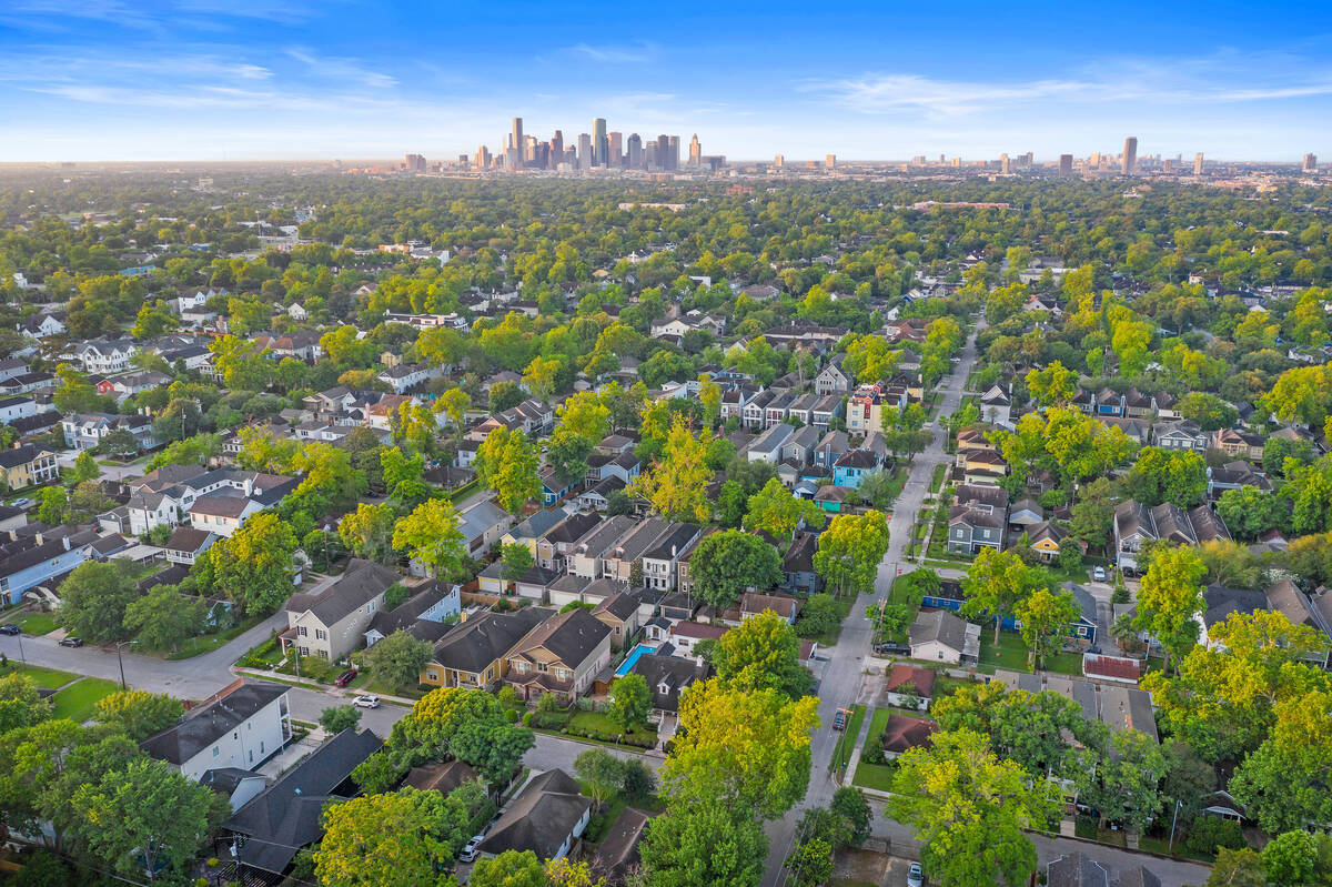
The Inner Loop encompasses the historic heart of the city, including Downtown, the Heights, Montrose, and the Texas Medical Center. Living here is defined by high walkability, proximity to major cultural institutions, and older housing stock, often characterized by historic bungalows or modern luxury infill townhomes. The primary trade-off is the premium on land value and potential challenges with street parking or older infrastructure.
The Mid-Ring (Between I-610 and Beltway 8)
This area represents a transition zone containing established neighborhoods like Meyerland, Spring Branch, and Westchase. These sections offer a blend of suburban layout and city access, often featuring mid-century homes on larger lots compared to the Inner Loop. This zone is attractive to families seeking more square footage without sacrificing a reasonable commute to the major employment centers.
The Outer Ring (Beyond Beltway 8)
Beyond the beltway, the landscape shifts toward large-scale master-planned communities, such as those found in Sugar Land, Katy, and The Woodlands. These areas provide high-quality municipal services, dedicated shopping centers, and top-tier public school districts. The trade-off is a heavy reliance on toll roads and highway systems to reach the city center, necessitating a clear understanding of your daily commute path.
Key Factors for Selecting a Neighborhood
Before finalizing a location, you must verify how a specific neighborhood aligns with your practical needs, specifically regarding environmental risks and local governance.
Floodplain and Environmental Considerations
Houston’s topography is remarkably flat, which complicates drainage. Before purchasing or signing a lease, visit the Harris County Flood Education Mapping Tool. Understanding whether a property falls within the 100-year or 500-year floodplain is critical for long-term financial planning and insurance costs. Note that property in these zones may require mandatory flood insurance, which can fluctuate based on FEMA’s ongoing map revisions.
School District Boundaries
Houston’s public education system is divided into independent school districts (ISDs). Unlike many other states, school district boundaries are not strictly aligned with city limits. For instance, an address with a "Houston" postal code might fall under the jurisdiction of the Houston ISD, Katy ISD, or Spring Branch ISD. If schools are a priority, verify the specific district assignment for an address using the official school district lookup tools provided by the relevant county.
Commute Analysis and Transportation
Houston’s traffic patterns are highly directional, focusing on the movement between residential suburbs and the primary employment hubs: Downtown, the Texas Medical Center, the Energy Corridor, and the Uptown/Galleria area. In 2026, public transit remains limited in scope compared to other major U.S. cities, primarily relying on the METRORail system and express bus lines. Most residents require a personal vehicle, making the proximity to major arteries—such as I-10, I-45, and US-59—the most significant factor in daily quality of life.
Comparison of Popular Living Environments
The following table categorizes areas by their defining characteristics to help you focus your search based on lifestyle and objective.
| Area Type | Representative Neighborhoods | Typical Lifestyle | Primary Commute Target |
|---|---|---|---|
| Urban/Historic | The Heights, Montrose | Walkable, diverse, historic architecture | Downtown, Medical Center |
| Upscale/Business | River Oaks, Galleria | Luxury, high-rise, high-end retail | Uptown/Galleria, Downtown |
| Family-Oriented | Meyerland, Bellaire | Larger lots, top-rated schools | Medical Center, Downtown |
| Master-Planned | Katy, The Woodlands, Sugar Land | Planned amenities, newer construction | Energy Corridor, Business parks |
| Transitional | Spring Branch, Oak Forest | Rapid redevelopment, suburban feel | Downtown, Energy Corridor |
Evaluating Cost of Living and Taxes
Houston does not have a municipal income tax, but property taxes are a significant component of the cost of living. Because local school districts and municipal utility districts (MUDs) set their own tax rates, two properties of equal value can have vastly different annual tax bills depending on their location.
When looking at master-planned communities in the outer suburbs, identify if the area is within a MUD. MUDs are political subdivisions that provide water, sewer, and drainage services to areas not served by a city. They often levy an additional property tax to pay for the bonds issued to build the infrastructure. While these communities are often well-maintained, the combined tax rate in a MUD-heavy area can be higher than in older, established city neighborhoods.
Frequently Asked Questions
1. Is it necessary to have a car to live in Houston? While some neighborhoods inside the 610 Loop—such as Montrose or Downtown—offer a degree of walkability, Houston is fundamentally a car-dependent city. Access to regional opportunities, medical services, and grocery shopping typically requires a personal vehicle.
2. How do I determine if a neighborhood is in a flood-prone area? Use the Harris County Flood Control District’s online mapping tools. They provide the most accurate, updated data on floodplains and flood-control infrastructure. Never rely solely on a real estate listing's description regarding flood history.
3. What is a MUD, and why does it affect my housing cost? A Municipal Utility District (MUD) is a special-purpose district that provides infrastructure in areas where the city does not yet provide services. Residents in a MUD pay an additional tax rate to cover the bonds used to build these utilities. Always ask if a property is in a MUD before closing on a home.
4. Are the public schools in Houston consistent across the city? No. Quality of public schools varies significantly between ISDs. Researching specific schools on platforms like the Texas Education Agency (TEA) website provides objective performance ratings, which can be more reliable than anecdotal feedback.
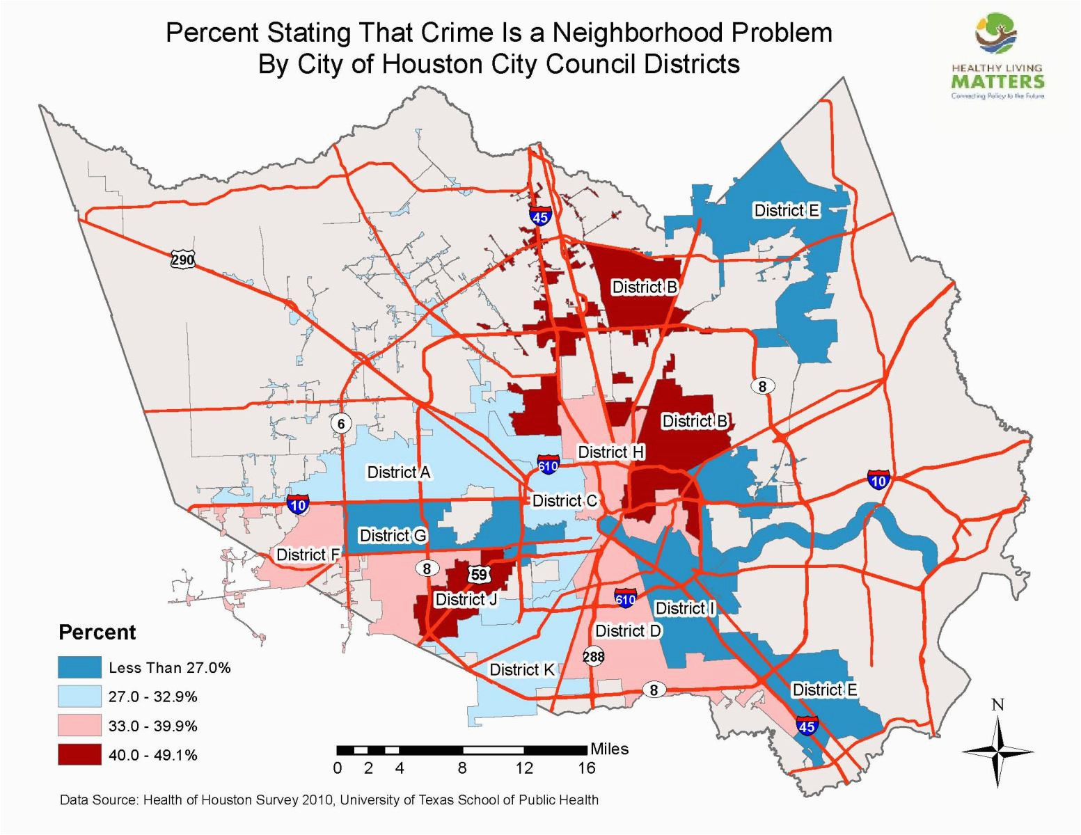
5. How do I find out about crime rates in specific areas? The Houston Police Department publishes crime statistics and offers an online portal for viewing incident reports. Use these official resources to get a data-backed understanding of a specific area's safety profile rather than relying solely on third-party real estate platforms.
Next Steps for Your Move
To finalize your selection, start by identifying your primary "anchor point"—the location where you will spend the most time, such as your workplace or your children’s school. Once the anchor is set, draw a 30-to-45-minute driving radius around it during peak rush hour (7:00–9:00 AM and 4:30–6:30 PM). This realistic mapping will narrow your list of candidate neighborhoods significantly.
If you are considering renting, visit your top three neighborhoods at different times of the day—especially during the evening—to observe parking availability and noise levels. If you are purchasing, prioritize an independent survey and a thorough review of the tax records for the previous three years to ensure you understand the full financial impact of the specific address. Focus your search on areas that balance your current lifestyle needs with the long-term potential of the neighborhood’s infrastructure.