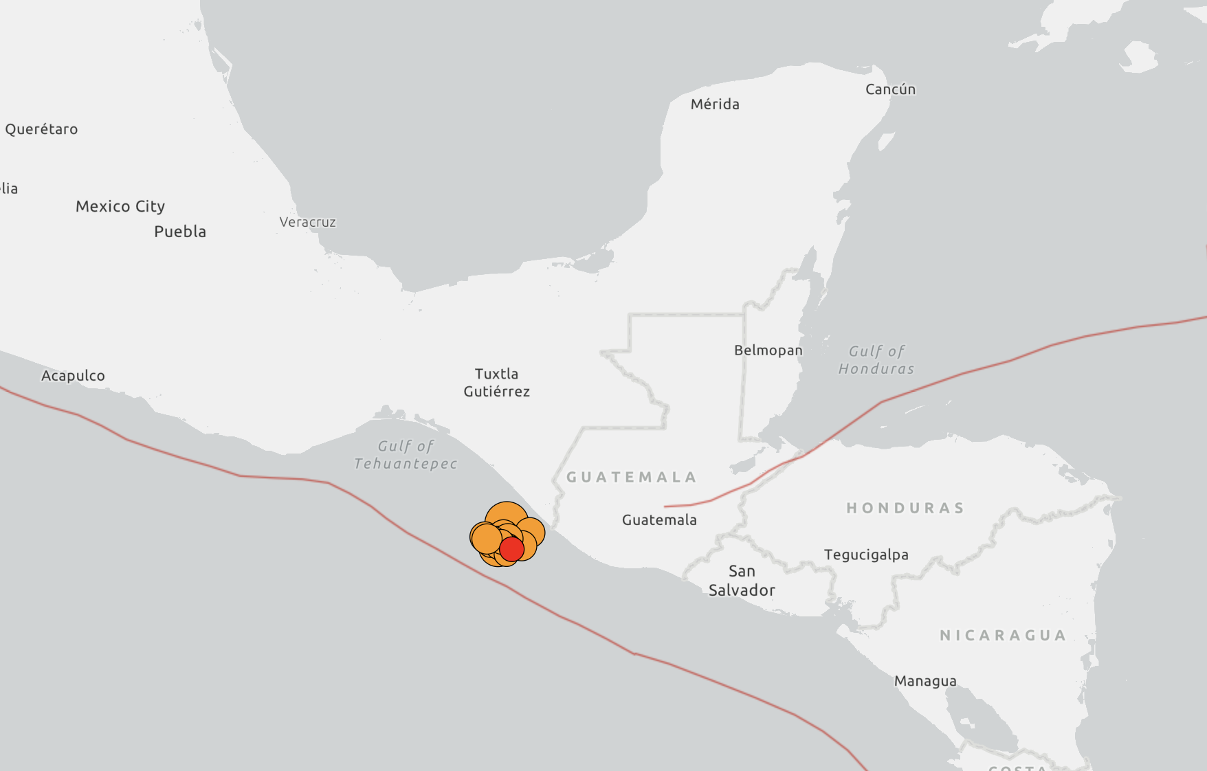
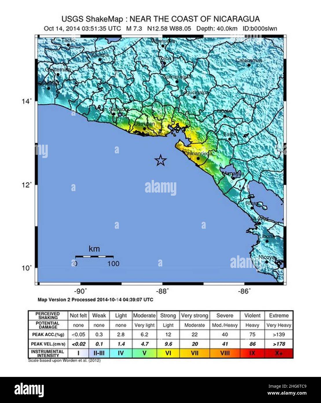
The 1986 El Salvador earthquake was a catastrophic magnitude 5.7 event that struck San Salvador on October 10, causing over 1,000 deaths and displacing 200,000 people. Despite its moderate magnitude, its shallow depth and proximity to the capital resulted in disproportionate destruction, leaving behind deep socio-political scars and technical questions regarding urban seismic safety.
The earthquake that struck at 11:49 AM local time on October 10, 1986, remains a defining moment in Central American history. While larger earthquakes have occurred in the region—notably the twin disasters of 2001—the 1986 event is uniquely significant due to its "near-field" characteristics. It occurred directly beneath the densely populated capital of San Salvador, proving that magnitude is not the only metric of danger. As we reflect on this event from the vantage point of 2026, the lessons learned and the questions that remain unanswered continue to shape the fields of seismology, structural engineering, and disaster management.
The Mechanics of the 1986 San Salvador Earthquake
To understand why a magnitude 5.7 earthquake caused such high levels of devastation, one must look at the specific geological conditions of the San Salvador area. Most destructive earthquakes in El Salvador are generated by the subduction of the Cocos Plate beneath the Caribbean Plate. However, the 1986 event was different. It was an upper-crustal earthquake caused by the movement of local faults within the Central American Volcanic Arc.
Shallow Depth and Proximity
The focal depth of the 1986 earthquake was remarkably shallow, estimated at approximately 7 to 10 kilometers. In seismology, the closer a rupture is to the surface, the less the seismic energy is attenuated before reaching buildings and infrastructure. Because the epicenter was located just south of the city center, near Los Planes de Renderos, the seismic waves hit the urban core with maximum intensity.
Soil Amplification and the "Tierra Blanca"
San Salvador is built on layers of volcanic ash known locally as tierra blanca. This geological feature is notorious for its ability to amplify seismic waves. During the 1986 event, certain frequencies of ground motion were amplified by these loose volcanic soils, creating a resonance effect with specific building heights. This explains why mid-rise buildings of five to ten stories suffered significantly more damage than shorter or taller structures in the same vicinity.
High Peak Ground Acceleration (PGA)
Instruments at the time recorded horizontal accelerations exceeding 0.7g in some areas. For a moderate magnitude 5.7 earthquake, these are exceptionally high values. To put this in perspective, many modern building codes for high-seismic zones are designed for roughly 0.4g. The 1986 event essentially "over-performed" its magnitude, delivering a localized punch that exceeded the design limits of almost every structure in the city at the time.
Immediate Impact: A Capital in Ruins
The physical destruction concentrated in the downtown area (Centro Histórico) and the neighborhood of San Jacinto was total in some sectors. The human cost was exacerbated by the timing of the quake; occurring at midday on a Friday, schools, offices, and markets were at peak capacity.
The Rubén Darío Building Collapse
The collapse of the Rubén Darío building became the enduring symbol of the 1986 disaster. A five-story reinforced concrete structure, it had already been damaged in a previous 1965 earthquake but had never been properly retrofitted. When the 1986 tremor hit, the building pancaked, trapping hundreds of people inside. The failure was attributed to a "soft-story" defect—where the ground floor lacked the stiffness of the upper floors—and poor quality of materials used in original construction.
Healthcare Infrastructure Failure
The disaster highlighted a critical vulnerability: the collapse of medical facilities. The Hospital de Niños Benjamín Bloom, the nation’s primary pediatric hospital, suffered severe structural damage, forcing the evacuation of critically ill children into the streets. Other major facilities, including the Hospital Rosales, were partially incapacitated, leaving the city without a central nervous system for emergency response exactly when it was needed most.
Residential Displacement
Outside the commercial core, the damage to housing was immense. The "Mesones"—substandard, multi-family colonial houses converted into tenements—collapsed by the hundreds. These structures, built of adobe or bahareque (wattle and daub), lacked any seismic resistance. Within minutes, an estimated 200,000 people were rendered homeless, creating a massive internal migration and a humanitarian crisis that the government was ill-equipped to handle.
The Intersection of Natural Disaster and Civil War
One cannot analyze the 1986 earthquake without the context of the Salvadoran Civil War (1979–1992). The disaster struck at the height of the conflict between the government and the Farabundo Martí National Liberation Front (FMLN).
Geopolitical Response and Aid
The earthquake forced a momentary shift in the conflict. President José Napoleón Duarte was faced with the dual challenge of managing a war and a total urban collapse. International aid poured in from both the United States and the Eastern Bloc, turning the disaster relief effort into a micro-theater of the Cold War. However, the distribution of this aid was plagued by allegations of corruption and favoritism, with many victims in opposition-held or marginalized neighborhoods claiming they were ignored by the state.
The Guerrilla Truce
In the immediate aftermath, the FMLN declared a temporary unilateral ceasefire to allow for rescue efforts. This was not merely a humanitarian gesture; it was a strategic move to show that they were a legitimate political force capable of governing and showing compassion. Nevertheless, the war resumed shortly after, and the physical ruins of San Salvador became sites of urban combat later in the decade, notably during the "Final Offensive" of 1989.
Unresolved Questions and Ongoing Debates
Despite decades of study, several aspects of the 1986 earthquake remain subjects of intense debate among historians, geologists, and urban planners.
1. The "Blind Fault" Mystery
While seismologists know the earthquake occurred on a fault within the San Salvador fault zone, there is still uncertainty regarding which specific fault segment ruptured. Some studies suggest a fault that does not reach the surface (a "blind fault"), making it difficult to map and predict future movements. Identifying this exact segment is crucial for 2026-era seismic hazard mapping, yet the high degree of urban cover makes traditional geological trenching almost impossible.
2. Discrepancies in the Death Toll
The official death toll was placed at roughly 1,000 to 1,500 people. However, many NGOs and survivor groups have long argued that the number was significantly higher—possibly double or triple the official count. Because many victims were undocumented residents of the "Mesones" or were buried in mass graves without formal identification during the chaos of the civil war, the true human cost remains an unresolved question of historical memory.
3. The "Missing Aid" and Reconstruction Funds
To this day, questions persist about the use of international reconstruction funds provided between 1986 and 1990. While some landmarks were rebuilt, large sections of the downtown remained in ruins for nearly two decades. Critics argue that funds were diverted to the war effort or lost to systemic corruption, leaving a legacy of distrust that continues to affect how Salvadorans view government-led disaster recovery.
4. Why Did Modern Buildings Fail?
The 1986 quake was a wake-up call because it destroyed structures that were considered "modern" by 1980s standards. While the failure of adobe is expected, the catastrophic failure of reinforced concrete buildings like the Rubén Darío led to questions about building code enforcement and professional accountability. Even in 2026, the question of whether current high-rise developments in San Salvador are truly compliant with the most recent codes remains a point of contention among structural engineers.
Technical Comparison: 1986 vs. Other Major Events
The following table compares the 1986 San Salvador earthquake with other significant seismic events in El Salvador to illustrate why its impact was so unique.
| Feature | 1986 San Salvador | 2001 (January) | 2001 (February) |
|---|---|---|---|
| Magnitude (Mw) | 5.7 | 7.7 | 6.6 |
| Origin Type | Upper-crustal (Local) | Subduction (Cocos Plate) | Upper-crustal (Local) |
| Focal Depth | ~7 km (Very Shallow) | ~60 km (Intermediate) | ~10 km (Shallow) |
| Primary Impact Area | San Salvador Urban Core | Nationwide / Landslides | San Vicente / Cojutepeque |
| Fatalities (Est.) | 1,000 - 1,500 | 944 | 315 |
| Main Cause of Death | Building collapse (Urban) | Landslides (Las Colinas) | Building collapse (Rural/Towns) |
| Economic Loss | ~$1.5 Billion (USD) | ~$1.6 Billion (USD) | ~$0.5 Billion (USD) |
Evolution of Seismic Codes and Urban Resilience
The 1986 earthquake served as a brutal laboratory for engineering. It led directly to the overhaul of the Salvadoran building code (Normas Técnicas de Diseño Sísmico).
The 1994 and 2001 Updates
Following the 1986 disaster, engineers realized that the existing codes did not account for the high accelerations produced by local faults. New regulations in 1994, and later significantly updated after the 2001 quakes, introduced more stringent requirements for ductility (the ability of a building to bend without breaking) and prohibited certain types of "soft-story" designs.
Seismic Microzonation
In the years leading up to 2026, San Salvador has undergone extensive "microzonation." This is the process of mapping how different parts of the city react to seismic waves based on their specific soil types. We now know that some neighborhoods are far more dangerous than others due to the thickness of the tierra blanca layers. This data is now used to calculate "Site Factors" in modern construction, ensuring that buildings in high-risk zones are reinforced accordingly.
The Role of ASIA and OPAMSS
The Association of Salvadoran Engineers and Architects (ASIA) and the Planning Authority for the Metropolitan Area of San Salvador (OPAMSS) have become the gatekeepers of urban safety. However, a major unresolved challenge in 2026 remains the "informal sector." While high-end malls and apartment towers follow strict codes, a significant percentage of the population still lives in self-built structures that would likely not survive a repeat of the 1986 event.
Expert Guidance: Preparing for the Next Local Event
Given the unresolved technical questions and the historical patterns of the San Salvador fault system, experts recommend the following actions for residents and policymakers:
- Structural Audits of Pre-1990 Buildings: Any reinforced concrete building constructed before the 1994 code update should undergo a mandatory seismic vulnerability assessment. Many "hidden" damages from 1986 may have been superficially repaired but remain structurally compromised.
- Soil Sensitivity Awareness: Before purchasing property or beginning construction, it is essential to consult the OPAMSS microzonation maps. Understanding whether a site is on compacted volcanic ash or solid rock can change the fundamental engineering requirements of a project.
- Retrofitting Over Replacement: For historic structures in the Centro Histórico, modern retrofitting techniques—such as carbon fiber wrapping of columns or the addition of steel bracing—can provide safety without destroying the city's cultural heritage.
- Community-Level Emergency Drills: Because local fault earthquakes give virtually zero warning (no "P-wave" lead time), reaction must be instinctive. "Drop, Cover, and Hold On" remains the gold standard, but it must be practiced in the context of the specific urban density of San Salvador.
Frequently Asked Questions
Why was a 5.7 magnitude earthquake so much more destructive than expected?
The destruction was due to its shallow depth (7km) and its location directly under the city. The seismic waves had very little ground to travel through before hitting buildings, resulting in extremely high ground acceleration that far exceeded the magnitude's typical impact.
Is San Salvador at risk of a similar earthquake in 2026?
Yes. The San Salvador fault system is active. Seismologists generally agree that these local, shallow events occur in cycles. While we cannot predict the exact date, the geological conditions that caused the 1986 event remain present today.
Have all the buildings damaged in 1986 been repaired?
No. Even decades later, there are "urban scars"—vacant lots or semi-derelict buildings—where ownership disputes or lack of funds prevented reconstruction. In recent years, there has been a push to revitalize the downtown area, but some 1986-era damage is still visible if you look closely at older structures.
Did the 1986 earthquake cause any volcanic activity?
While the earthquake occurred in a volcanic arc and was caused by tectonic forces related to volcanic plumbing, it did not trigger an eruption of the San Salvador volcano (El Boquerón). However, the relationship between local faulting and volcanic stress remains a subject of ongoing research.
What was the most significant change in building practices after 1986?
The most significant change was the move away from unreinforced masonry and the implementation of stricter standards for reinforced concrete joints. Engineers began to focus on "ductile detailing," ensuring that the connections between beams and columns could withstand extreme shaking without brittle failure.
Practical Recommendation
For those living in or managing property in the Metropolitan Area of San Salvador, the legacy of 1986 is a reminder that "magnitude is a myth" when it comes to local fault risk. The most critical next step is to verify the seismic certification of your building, especially if it is a multi-story structure built prior to the 2001 code revisions. Engaging a licensed structural engineer to perform a non-destructive evaluation can identify the "soft-story" risks that proved so fatal in 1986. Safety in El Salvador depends not on the size of the earthquake, but on the resilience of the ground beneath our feet and the integrity of the walls around us.