Arizona hiking deaths occur primarily due to extreme heat exposure, dehydration, and cardiovascular failure, with falls and flash floods serving as significant secondary causes. In 2026, the intersection of record-breaking desert temperatures and high trail volume continues to make preparedness, physiological awareness, and strict adherence to seasonal trail closures the most critical factors for survival.
The Statistical Landscape of Outdoor Fatalities in Arizona
The allure of Arizona’s rugged topography—from the depths of the Grand Canyon to the jagged peaks of the Superstition Mountains—draws millions of visitors annually. However, this beauty masks a lethal environment for the unprepared. Historically, Arizona consistently ranks among the states with the highest number of search and rescue (SAR) incidents and outdoor fatalities.
In 2026, data from the Maricopa County Department of Public Health and the National Park Service indicates that while traumatic injuries from falls are common, the "silent killer" remains environmental heat. Arizona’s unique climate creates a "perfect storm" for hiking fatalities. The state experiences a bimodal peak in deaths: the first during the early summer heat surges (May–June) and the second during the late summer monsoon season (July–September), where humidity increases the risk of heatstroke and flash flooding.
Statistical analysis reveals that a significant portion of hiking deaths involves out-of-state tourists who underestimate the physiological toll of "dry heat." However, local residents are not immune; "over-familiarity" often leads experienced hikers to bypass essential safety protocols during extreme weather alerts. The Maricopa County "Take a Hike. Do it Right." campaign remains a primary educational pillar, yet rescue calls continue to exceed 1,000 annually in the Phoenix metropolitan area alone.
The Primary Cause: Hyperthermia and the Physiology of Heat
The most frequent cause of Arizona hiking deaths is hyperthermia, a condition where the body's core temperature rises to dangerous levels because it can no longer dissipate heat. In the Arizona desert, temperatures frequently exceed 110°F (43°C), creating an environment where the ambient air is hotter than the human body.
The Mechanism of Heatstroke
When a hiker exerts themselves in 110-degree weather, the body relies almost exclusively on the evaporation of sweat to cool down. However, when the ambient temperature is extremely high, or when dehydration sets in, the cooling mechanism fails. Once the core temperature reaches 104°F (40°C), cellular damage begins. This leads to:
- Exertional Heatstroke (EHS): This is a medical emergency characterized by mental status changes, such as confusion, disorientation, or combativeness. Many Arizona hiking deaths occur because the victim becomes too confused to seek shade or drink water.
- Multi-Organ Failure: If not cooled immediately, the heat causes the brain, kidneys, and liver to shut down. In many remote Arizona trails, the time required for a helicopter to reach a victim often exceeds the "golden hour" for heatstroke survival.
Hyponatremia: The Danger of "Water Only"
A secondary, often misunderstood factor in Arizona hiking deaths is exertional hyponatremia. This occurs when a hiker drinks excessive amounts of plain water without replacing lost electrolytes (salts). The blood becomes diluted, causing cells—including brain cells—to swell. This can lead to seizures, coma, and death. Many hikers found deceased on Arizona trails still have water in their packs, suggesting that either heatstroke hit too fast or they suffered from electrolyte imbalance.
Geographic Death Traps: Arizona’s Deadliest Trails
While any trail can be fatal under the right conditions, certain locations in Arizona account for a disproportionate number of fatalities and rescues.
Camelback Mountain (Echo Canyon and Cholla Trails)
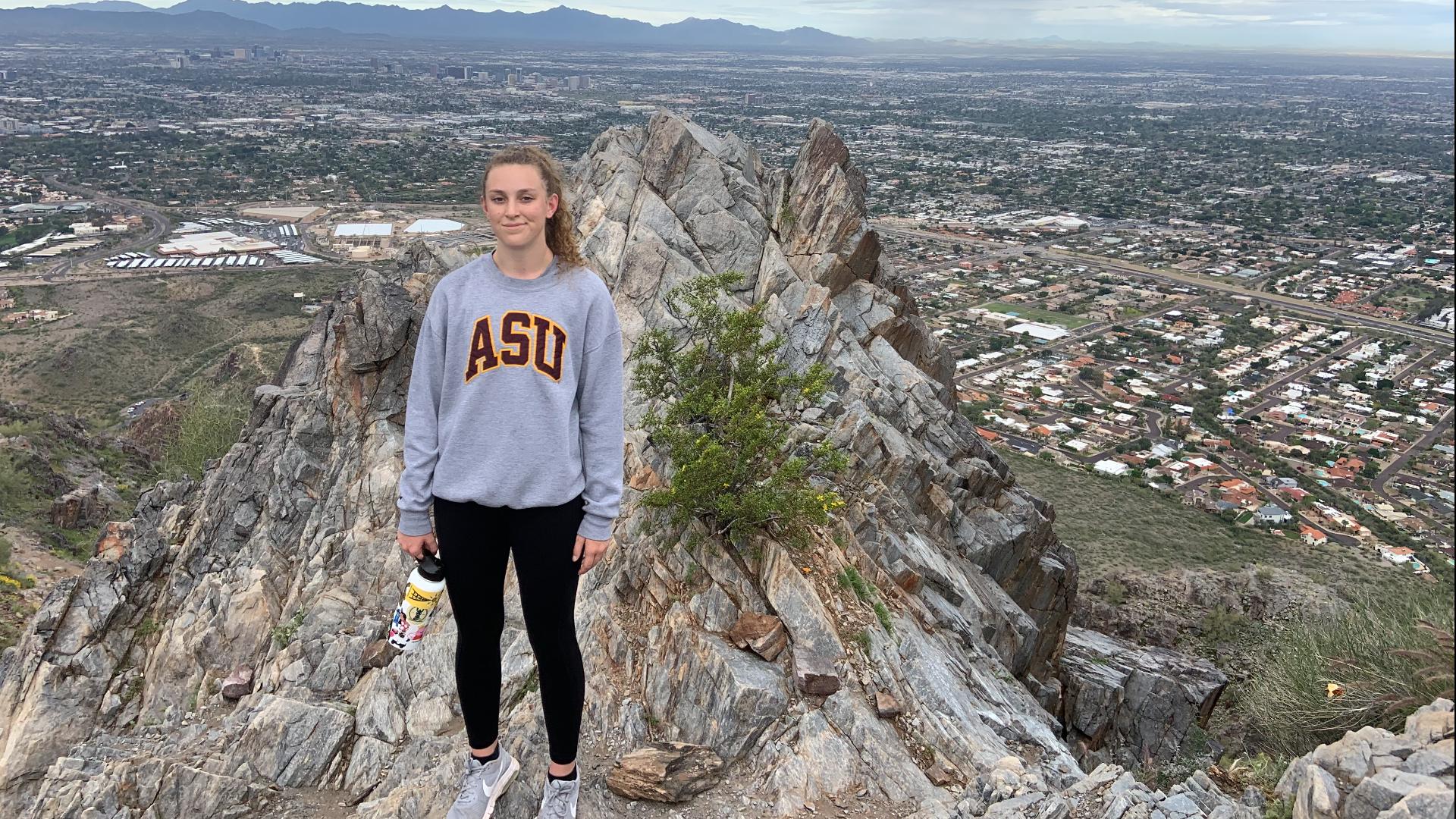
Located in the heart of Phoenix, Camelback Mountain is arguably the deadliest hiking destination in the state relative to its size. Its proximity to luxury resorts leads many ill-equipped tourists to attempt the summit at midday. The steep, rocky terrain requires significant physical exertion, which accelerates heat production in the body. In 2026, the City of Phoenix continues to implement seasonal closures of these trails when the National Weather Service issues Excessive Heat Warnings, a policy initiated to protect both hikers and first responders.
The Grand Canyon: The "Reverse Mountain" Effect
The Grand Canyon National Park sees roughly 12 to 20 deaths per year, though not all are hiking-related. The primary danger here is the "upside-down" nature of the hike. Unlike traditional mountains where the hardest work (the descent) comes last, the Grand Canyon requires hikers to descend into increasing heat. The temperature at the Phantom Ranch (the canyon floor) is often 20 degrees hotter than at the South Rim. Hikers exhaust themselves getting to the bottom and find they lack the cardiovascular reserves to climb 5,000 feet back to the rim in 100-degree temperatures.
The Superstition Wilderness
The Superstition Mountains, east of Phoenix, are notorious for their rugged, confusing terrain. Deaths here are often the result of hikers becoming lost and subsequently succumbing to exposure. The lack of reliable water sources and the jagged volcanic rock make "cross-country" travel nearly impossible for the average hiker.
Secondary Hazards: Falls, Floods, and Fauna
While heat is the primary driver of mortality, other environmental factors contribute significantly to the death toll.
Traumatic Falls
Arizona’s geology consists largely of loose "scree" and decomposed granite. This surface is notoriously unstable. On trails like Piestewa Peak or the Bright Angel Trail, a single misstep can lead to a catastrophic fall. In high-altitude areas like the San Francisco Peaks near Flagstaff, hiking deaths are more frequently attributed to falls or exposure to cold, reminding hikers that Arizona’s climate is not exclusively desert.
Monsoon Flash Floods
During the summer monsoon (July–September), localized thunderstorms can dump inches of rain in minutes. This water funnels into slot canyons and dry washes (arroyos). A hiker in a slot canyon, such as those near Page, Arizona, may be under clear skies while a flood is rushing toward them from a storm miles away. Flash flood deaths are often "mass casualty" events due to the lack of escape routes in narrow canyons.
Cardiovascular Events
Hiking is a strenuous activity. For individuals with underlying heart conditions, the combination of steep inclines and heat-induced stress on the circulatory system can trigger fatal myocardial infarctions (heart attacks). A significant percentage of Arizona hiking deaths involve males over the age of 50 who suffer sudden cardiac arrest on the trail.
The Logistics and Risks of Search and Rescue (SAR)
Every hiking death in Arizona initiates a complex and dangerous recovery or rescue operation. In 2026, the reliance on aerial extraction has increased, but helicopter rescues are not always possible.
- Density Altitude: High temperatures reduce air density, making it difficult for helicopters to generate lift. In mid-summer, a helicopter may be unable to land or hover at certain elevations to rescue a stranded hiker, forcing ground teams to hike in, which delays medical intervention.
- Resource Drain: A single "technical" rescue (requiring ropes or helicopters) can cost taxpayers upwards of $10,000 to $20,000 and involve dozens of personnel.
- Risk to Rescuers: First responders are subject to the same heat risks as hikers. Several historical incidents in Arizona have seen rescuers hospitalized with heat exhaustion while attempting to recover a deceased or injured hiker.
Comparative Risk Analysis
The following table compares the primary risk factors associated with different Arizona hiking environments and the recommended mitigation strategies.
| Environment | Primary Risk Factor | Critical Window | Mitigation Strategy |
|---|---|---|---|
| Urban Peaks (Camelback) | Exertional Heatstroke | 10:00 AM – 5:00 PM | Start before sunrise; finish by 8:00 AM. |
| Grand Canyon | Heat Exhaustion/Cardiac Arrest | Ascent (the hike out) | Avoid "Rim-to-River" in one day; stay hydrated. |
| Slot Canyons | Flash Floods | July – September | Check regional radar; avoid if rain is forecast. |
| High Desert (Superstitions) | Disorientation/Exposure | 24+ hours lost | Carry a satellite GPS (Garmin/Spot); stay on trail. |
| Northern Mountains | Lightning/Hypothermia | Afternoon storms | Summit by noon; carry insulating layers. |
Prevention: The "Arizona Standard" for Hiking Safety
To avoid becoming a statistic, hikers in 2026 are advised to follow a rigorous set of safety protocols tailored specifically to the Arizona environment.
The 50% Water Rule
In the desert, thirst is a late indicator of dehydration. The standard rule is to drink one liter of water per hour of hiking. More importantly, hikers must follow the "Turnaround Rule": when half of your water supply is gone, your hike is over, regardless of whether you have reached the summit or the destination.
Timing and Acclimatization
Most Arizona hiking deaths occur between 10:00 AM and 4:00 PM. Safety experts recommend the "rule of 3": if the forecast is over 100 degrees, do not hike. If you must hike, you should be off the trail before the mercury hits triple digits. Furthermore, visitors from cooler climates or lower altitudes require at least 4–7 days to acclimatize to Arizona's heat and elevation before attempting strenuous hikes.
Essential Gear for Survival
Beyond water, specific gear can mean the difference between life and death:
- Electrolyte Supplements: Salt tablets or powders to prevent hyponatremia.
- Physical Map and Compass: Digital GPS units can fail in high heat or lose signal in deep canyons.
- Emergency Signaling: A whistle or a signal mirror. In the vast desert, a person on the ground is nearly invisible to a helicopter without a reflective signal.
- Personal Locator Beacon (PLB): Devices like the Garmin inReach allow for SOS signals via satellite, which is essential as most Arizona wilderness areas have zero cellular reception.
Frequently Asked Questions
Why can't I just hike with a lot of water when it's 110 degrees?
Even if you are hydrated, the ambient temperature of 110°F is higher than your body's ability to cool itself through sweating. At this point, you are "convection heating"—the air is heating you up faster than you can cool down. This leads to heatstroke regardless of your water intake.
Are there fines for needing a rescue in Arizona?
As of 2026, Arizona generally does not charge for search and rescue services, as authorities do not want to discourage people in danger from calling for help. However, if a hiker "knowingly" enters a closed trail or violates specific local ordinances, they may be subject to fines or the cost of the rescue under certain municipal codes.
How much water should I actually carry?
For a moderate hike in 90-degree weather, the minimum is 3-4 liters per person. For strenuous hikes or higher temperatures, more is required. It is also critical to remember that your body can only absorb about one liter of water per hour; drinking 5 liters at once will not "pre-hydrate" you effectively and could lead to hyponatremia.
What should I do if I see someone suffering from heat exhaustion?
Move them to the shade immediately. If they are conscious, give them small sips of water with electrolytes. Do not pour water into the mouth of an unconscious person. Cool them by splashing water on their skin and fanning them. Call 911 or activate an SOS beacon immediately, as heat exhaustion can transition to fatal heatstroke in minutes.
Does cell phone GPS work on all Arizona trails?
No. Many popular trails, including those in the Superstition Mountains and the inner corridors of the Grand Canyon, have no cellular service. While your phone's GPS hardware might work without a signal, it will not allow you to call for help or download new maps. Always use offline maps or a dedicated satellite communicator.
Practical Recommendation for Hikers
Before stepping onto any Arizona trail, check the National Weather Service (NWS) Phoenix or the relevant regional office for "Excessive Heat Warnings." If a warning is in effect, choose an indoor activity or a high-altitude trail in Northern Arizona. Always inform a "emergency contact" of your exact trail route and expected return time. In the Arizona desert, time is the most constrained resource during an emergency; the faster SAR teams can narrow your location, the higher your chance of survival.