Google Maps 3D mode transforms flat cartography into an immersive, three-dimensional representation of the world, allowing users to explore terrain elevations, architectural wonders, and urban landscapes from virtually any angle. By combining satellite imagery, aerial photography, and digital elevation models, this feature provides a realistic perspective that aids in navigation, travel planning, and spatial understanding. Whether you are scouting a new neighborhood, inspecting a hiking trail, or marveling at global landmarks, mastering this tool enhances your digital mapping experience.
1. Understand System Requirements and Enable Hardware Acceleration
Before diving into complex urban environments, ensure your device meets the technical prerequisites for running Google Maps in 3D mode. Web browsers require hardware acceleration to render complex polygons and textures smoothly. If your browser or device lacks adequate processing power, 3D views may stutter, lag, or default to standard 2D map tiles.
To verify and enable hardware acceleration on desktop browsers like Google Chrome or Mozilla Firefox, navigate to your browser settings, search for "hardware acceleration" or "graphics acceleration," and ensure the toggle is enabled. For mobile devices, ensure your operating system and the Google Maps application are updated to the latest versions. Older mobile hardware may have limited support for high-fidelity 3D rendering, so checking for system updates can resolve performance bottlenecks.
2. Master Desktop Navigation Controls and Keyboard Shortcuts
Navigating 3D space on a desktop computer requires a combination of mouse movements and keyboard commands that differ from traditional scrolling. Mastering these shortcuts drastically improves your efficiency when exploring unfamiliar terrain.
- Tilt the View: Hold the Right Mouse Button and drag your mouse up or down, or hold the Shift key while dragging with the left mouse button.
- Rotate the Perspective: Hold the Control (or Command on macOS) key while dragging with the mouse, or use the left and right arrow keys on your keyboard.
- Zoom In and Out: Use the scroll wheel on your mouse, or press the plus (+) and minus (-) keys.
- Reset Orientation: Click the compass icon in the bottom right corner of the screen to snap the map back to a top-down, north-facing view.
3. Leverage Touch Gestures on Mobile Devices
Exploring 3D mode on smartphones and tablets relies on intuitive multi-touch gestures. Because mobile screens offer less precision than a desktop mouse, practicing these gestures helps you maneuver fluidly without accidentally dropping pins or triggering unwanted menus.
Place two fingers simultaneously on the screen and swipe upward to tilt the perspective from a top-down view into a 3D horizon. Swipe downward with two fingers to flatten the map back to 2D. To rotate your view, place two fingers on the screen and twist them in a circular motion clockwise or counterclockwise. Pinch to zoom in and out as you would with standard photos or web pages.
4. Toggle the 3D Button Correctly
Google Maps provides a dedicated button to switch between 2D and 3D modes quickly, though its appearance varies depending on whether you are using a desktop browser or a mobile app.
On desktop computers viewing the map in Globe view or Satellite view, a "3D" button appears in the bottom right corner near the zoom controls. Clicking this button immediately toggles the terrain perspective. On mobile devices, tap the layer icon (often represented by stacked squares) in the top right corner of the screen, select "3D" from the map details menu, and ensure your map type is set to Satellite or Default with terrain enabled. If the button is greyed out, your current zoom level or geographic location may not support high-resolution 3D data.
5. Explore Immersive View for Landmarks and Cities
For select metropolitan areas and famous global landmarks, Google Maps offers an advanced feature known as Immersive View. This builds upon standard 3D mode by fusing computer vision and artificial intelligence with billions of Street View and aerial images.
Immersive View generates a rich, high-fidelity model of a location complete with simulated lighting, time-of-day adjustments, and traffic simulations. To access this, search for a major landmark—such as the Eiffel Tower, the Empire State Building, or Big Ben—and look for the Immersive View card in the information panel. Tapping this card allows you to fly through the virtual space, check indoor layouts where available, and even preview how crowded a location will be at different hours of the day.
6. Inspect Terrain Elevation for Outdoor Activities
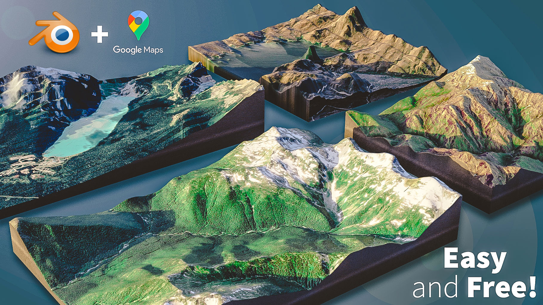
While 3D mode is widely used for viewing skyscrapers and city skylines, it is equally powerful for analyzing natural topography. Hikers, campers, and cyclists can use terrain shading and 3D elevation models to understand the steepness of trails and mountainous regions before heading out.
When planning a hike, switch to Satellite or Terrain view and activate 3D mode. Tilt the camera to examine valleys, ridges, and slopes from the side. This perspective makes it easy to visualize elevation gains and losses along a route, helping you assess physical difficulty and plan pacing more effectively than relying on flat contour lines alone.
| Feature / Mode | Standard 2D Map | Basic 3D Mode | Immersive View |
|---|---|---|---|
| Primary Use | Route navigation and basic street searching | Spatial orientation and urban exploration | Photorealistic fly-throughs and landmark scouting |
| Data Source | Vector cartography and road networks | Satellite imagery and elevation meshes | AI-synthesized computer vision and multi-angle photography |
| Lighting & Time | Static daylight representation | Basic sunlight shadows based on time of day | Simulated lighting, weather, and time-of-day controls |
| Device Load | Low CPU and memory usage | Moderate graphics rendering requirements | High processing demand; requires modern hardware |
7. Combine 3D Mode with Street View
One of the most effective ways to navigate an unfamiliar city is to bridge the gap between aerial 3D perspectives and ground-level reality. Google Maps allows you to transition seamlessly between these two viewing modes.
Start by tilting your 3D map to look down a specific street or plaza. Next, drag the Pegman (the yellow street view icon in the bottom right corner) onto the desired road. This drops you directly into Street View at the exact angle you were previewing. Conversely, when exiting Street View on desktop, the map often retains its elevated perspective, allowing you to maintain spatial context of where you are relative to surrounding neighborhoods and geography.
8. Troubleshoot Rendering Issues and Glitches
Because 3D rendering relies heavily on continuous data streaming and local graphics processing, users occasionally encounter visual artifacts such as melting buildings, low-resolution textures, or blank grey tiles.
If buildings appear distorted or fail to load, check your internet connection speed, as high-bandwidth data is required to stream detailed 3D meshes. If the issue persists, clear your browser cache or restart the Google Maps application. For persistent graphical glitches on desktop, ensure your computer's graphics card drivers are up to date, or try disabling browser extensions that might interfere with WebGL rendering.
9. Utilize Compass and North-Locking for Orientation
When exploring complex 3D environments with twisting streets and dense architectural clusters, it is easy to lose your sense of direction. The compass widget in the top right corner of the 3D viewport is an essential tool for maintaining your bearings.
The red end of the compass needle always points north. Tapping the compass icon instantly reorients the camera so that north is at the top of your screen. This is particularly useful after rotating the map multiple times while scouting urban layouts, ensuring that your mental map aligns correctly with standard navigational directions.
10. Optimize Mobile Battery and Data Consumption
Running 3D mode and streaming high-resolution satellite imagery consumes significantly more cellular data and battery power than standard 2D vector maps. If you are traveling or have limited data allowances, mindful usage is necessary.
To minimize data usage, avoid excessive panning, zooming, and tilting in densely populated 3D cities where data packets must load continuously. If you plan to explore a specific area offline, download offline maps ahead of time while connected to Wi-Fi, keeping in mind that offline downloads primarily save vector road data rather than full 3D architectural models. Additionally, lower your screen brightness and close background applications if your device begins to heat up during extended 3D exploration sessions.
Frequently Asked Questions
Why is the 3D button missing or greyed out in my Google Maps app?
The 3D button may be unavailable because your current geographic location lacks 3D imagery data, your zoom level is too far out or too far in, or your device does not support hardware acceleration. Ensure you are viewing a supported urban area or landmark in Satellite or Globe view, and check that your application is fully updated.
Does using 3D mode drain my phone battery faster?
Yes. Rendering three-dimensional polygons, processing aerial textures, and continuously streaming high-definition satellite data require significantly more processing power and network activity than standard flat maps, leading to increased battery consumption and device heating.
Can I use 3D mode while navigating driving directions?
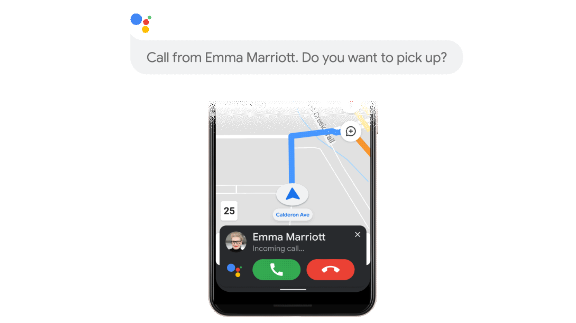
While you can tilt the map into a 3D perspective during turn-by-turn navigation, active navigation typically defaults to a specialized 2D or semi-3D tracking view optimized for road visibility. Full manual 3D exploration is best used during the pre-trip planning phase or when scouting locations.
Are all cities around the world available in 3D?
No. While major metropolitan areas, capital cities, and famous tourist destinations across North America, Europe, Asia, and other regions feature detailed 3D building models and terrain, rural locations and smaller towns may only display flat satellite imagery or standard vector maps.
How do I switch back to a standard flat 2D map from 3D mode?
On a desktop browser, click the 3D button again or click the compass icon to reset the orientation and use your mouse to flatten the view. On mobile devices, tap the layer icon and deselect the 3D option, or use a two-finger swipe downward on the screen to flatten the perspective.