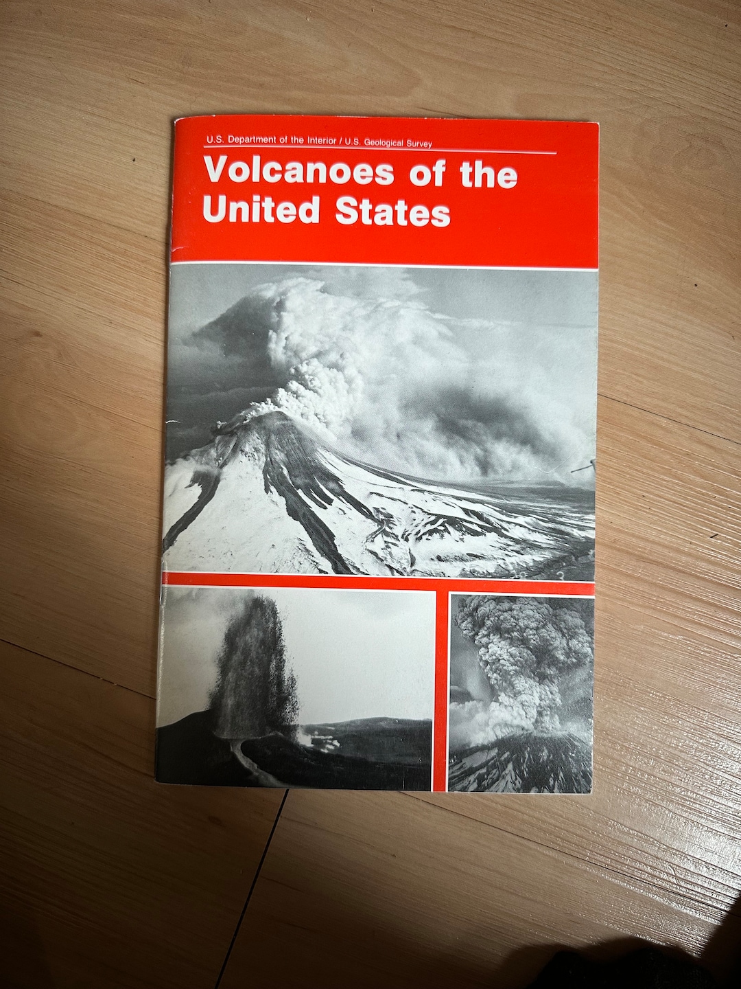
Yes, the United States possesses more than 160 active or potentially active volcanoes, ranking it among the countries with the highest number of volcanic systems in the world. These geological formations are concentrated primarily along the Pacific Rim, the state of Alaska, the Hawaiian archipelago, and several locations in the Western contiguous states, reflecting diverse tectonic settings that range from subduction zones to mantle hotspots.
Understanding the distribution, behavior, and monitoring of American volcanoes requires examining the complex tectonic forces shaping the North American continent and its surrounding oceanic plates. From the remote ice-clad peaks of the Aleutian Arc to the massive basaltic shields of Hawaii and the explosive stratovolcanoes of the Cascade Range, the United States features a wide spectrum of volcanic phenomena that present both hazards to surrounding communities and critical insights into Earth’s internal processes.
Tectonic Framework and Geological Settings of U.S. Volcanism
Volcanoes do not form at random; their locations are governed by plate tectonics, the scientific theory describing the large-scale motion of Earth's lithosphere. The United States spans multiple tectonic boundaries, creating distinct volcanic provinces with unique eruptive styles and magma compositions.
The primary driver of volcanism in the Pacific Northwest is the subduction zone known as the Cascadia Subduction Zone. Here, the oceanic Juan de Fuca Plate is diving beneath the continental North American Plate. As the oceanic plate descends, it carries water and other volatile elements into the mantle, lowering the melting point of the rock and generating magma that feeds the Cascade Volcanic Arc. This setting produces classic stratovolcanoes, which are steep-sided, symmetrical cones built of alternating layers of lava flows, volcanic ash, and cinders.
In contrast, the volcanism of the Hawaiian Islands is entirely intraplate, driven by a deep mantle plume often referred to as the Hawaiian hotspot. As the Pacific tectonic plate moves northwestward over a stationary plume of hot mantle material, a chain of volcanoes forms sequentially. These shield volcanoes, characterized by broad, gently sloping cones, erupt fluid, low-viscosity basaltic lava that flows easily over long distances before solidifying.
Alaska represents a third major tectonic regime, where the Pacific Plate is subducting beneath the North American Plate along the Aleutian Trench. This produces the Aleutian Arc, a volcanic chain spanning over 1,500 miles that includes dozens of historically active edifices. Meanwhile, regions like the Basin and Range Province in the Western United States experience crustal extension, where the Earth's crust is stretching and thinning, allowing magma to rise through faults and fractures to create basaltic fields and rhyometric domes.
Major Volcanic Regions in the United States
The geographic distribution of volcanoes across U.S. territory can be categorized into four primary regions, each with distinct geological characteristics and monitoring priorities managed by the U.S. Geological Survey (USGS).
The Cascade Range
Stretching from British Columbia in Canada through Washington, Oregon, and down into Northern California, the Cascade Range contains some of the most famous and potentially hazardous volcanoes in the country.
- Mount St. Helens (Washington): Famously erupted on May 18, 1980, causing the largest historical debris avalanche and deadliest eruption in U.S. recorded history. It remains an active and frequently monitored dome-building volcano.
- Mount Rainier (Washington): Recognized as one of the most dangerous volcanoes in the United States due to its massive glacial cap, which poses a severe lahar (volcanic mudflow) hazard to densely populated suburbs in the Seattle-Tacoma metropolitan area.
- Mount Hood (Oregon): Oregon’s highest peak and an active stratovolcano that poses risks to local river valleys and infrastructure through potential pyroclastic flows and lahars.
- Crater Lake (Oregon): Formed roughly 7,700 years ago when the collapse of Mount Mazama created a massive caldera now filled with deep, pristine water.
Alaska and the Aleutian Chain
Alaska accounts for more than 80% of all active volcanoes in the United States. The remote and rugged nature of the Aleutian Arc means many eruptions occur far from population centers, yet they pose significant hazards to international aviation due to ash clouds drifting into major trans-Pacific flight corridors.
Notable Alaskan systems include Mount Redoubt, Mount Cleveland, and Shishaldin Volcano, a nearly symmetrical cone located on Unimak Island. The Alaska Volcano Observatory (AVO) tracks seismic activity, satellite imagery, and gas emissions across this vast region continuously.
Hawaii
The Hawaiian Islands are built entirely of volcanic rock. While the older islands to the northwest no longer feature active volcanism, the Big Island of Hawaii is home to some of the most active volcanoes on Earth.
- Kīlauea: Renowned for its frequent effusive eruptions, Kīlauea has experienced prolonged eruptive episodes along its rift zones, notably altering the landscape and coastline of the island.
- Mauna Loa: The largest subaerial volcano in the world by volume and area, Mauna Loa covers more than half of the Big Island and erupts periodically with voluminous basaltic lava flows.
- Mauna Kea and Hualālai: Dormant and inactive volcanoes that complete the complex volcanic architecture of the island.
The Intermountain West and Continental Interior
Volcanism in the interior Western U.S. includes massive volcanic systems that produce infrequent, highly explosive cataclysms, as well as widespread basaltic lava fields.
- Yellowstone Caldera (Wyoming/Montana/Idaho): Often referred to as a supervolcano, Yellowstone sits atop a continental hotspot that has generated three colossal explosive eruptions over the past 2.1 million years. While a catastrophic super-eruption is statistically extremely unlikely in any given century, the area experiences constant hydrothermal activity, geysers, and minor earthquakes monitored by the Yellowstone Volcano Observatory (YVO).
- Long Valley Caldera (California): Located in eastern California, this massive depression formed from a colossal eruption 760,000 years ago and continues to show signs of unrest, including ground deformation and carbon dioxide gas emissions.
- Valles Caldera (New Mexico): A 13-mile-wide volcanic crater in the Jemez Mountains formed by a massive explosion 1.25 million years ago.
Summary of Major U.S. Volcanoes
| Volcano Name | State | Tectonic Setting | Primary Hazard Type | Typical Eruptive Style |
|---|---|---|---|---|
| Mount St. Helens | Washington | Subduction Zone (Cascades) | Lateral blast, pyroclastic flows, lahars | Explosive, dome-building |
| Mount Rainier | Washington | Subduction Zone (Cascades) | Lahars, debris avalanches, ash fall | Explosive stratovolcano |
| Kīlauea | Hawaii | Mantle Hotspot | Lava flows, volcanic gas (vog) | Effusive basaltic eruptions |
| Mauna Loa | Hawaii | Mantle Hotspot | Rapid basaltic lava flows | Effusive shield volcano |
| Yellowstone | Wyoming | Continental Hotspot | Ash fall, pyroclastic surges, hydrothermal explosions | Rhyolitic caldera-forming |
| Redoubt Volcano | Alaska | Subduction Zone (Aleutians) | Ash clouds, lahars, mudflows | Explosive stratovolcano |
Volcano Monitoring and Hazard Mitigation
The mitigation of volcanic risk in the United States is coordinated by the USGS through the Volcano Hazards Program, which operates five regional observatories. These facilities use modern instrumentation to detect precursors to volcanic unrest weeks, days, or hours before an eruption occurs.
Seismic monitoring networks detect micro-earthquakes caused by the movement of magma fracturing brittle rock beneath a volcano. Ground deformation instruments, including Global Positioning System (GPS) receivers and tiltmeters, measure the swelling or deflation of the volcanic edifice as magma chambers fill or empty. Gas sensors track changes in sulfur dioxide, carbon dioxide, and other volatile emissions, while remote sensing techniques, such as satellite thermal imaging and radar interferometry, provide continuous oversight of remote peaks.
When unrest is detected, observatories issue aviation color codes and ground-based alert levels ranging from Normal to Warning. This standardized communication protocol ensures that emergency managers, aviation authorities, and the public receive timely, actionable warnings to protect life and property.
Frequently Asked Questions
Are there any active volcanoes in the eastern United States?
No active or recently active volcanoes exist in the eastern United States. The region is situated far from active plate boundaries, resting on the stable interior of the North American tectonic plate. The ancient mountain-building events that formed ranges like the Appalachians concluded hundreds of millions of years ago, and any ancient volcanic roots in the East are deeply eroded and extinct.
Could Yellowstone erupt at any time?
While Yellowstone is an active volcanic system, a catastrophic "super-eruption" is not expected anytime soon. Scientists monitor the region continuously, and current activity is limited to hydrothermal features, geysers, and background seismicity. Statistical models and geological data indicate that the probability of a major explosive eruption in any given year is exceedingly low, roughly one in 730,000.
How many volcanoes are in the United States?
The United States contains more than 160 active or potentially active volcanoes. This count encompasses the Cascade Range, the Aleutian Arc and mainland Alaska, the Hawaiian Islands, and various volcanic fields in the western interior states such as California, Oregon, Washington, Idaho, New Mexico, Utah, Arizona, and Wyoming.
What is the most dangerous volcano in the United States?
According to the USGS National Volcano Threat Assessment, Mount Rainier in Washington is ranked as the most dangerous volcano in the nation. This assessment is based not on the likelihood of an imminent eruption, but on the severe hazard it poses due to its massive glacial ice volume, steep slopes, and proximity to densely populated urban areas in the Puget Sound region where historical mudflows have previously reached.
How do scientists know when a volcano is going to erupt?
Scientists look for precursors known as volcanic unrest. These indicators include a significant increase in local earthquake frequency and magnitude, measurable swelling or deformation of the ground surface, changes in the composition and volume of volcanic gases escaping from fumaroles, and thermal anomalies detected by ground sensors or satellites. By analyzing these signals in real-time, volcanologists can often forecast eruptions before they occur.
Next Actions and Preparedness
Individuals living in or traveling through volcanic regions should familiarize themselves with local emergency evacuation routes and community alert systems. For those residing near the Cascade Range, Alaska, or Hawaii, consulting the resources provided by the USGS Volcano Hazards Program offers detailed hazard maps and real-time monitoring updates. Maintaining an emergency supply kit with N95 masks to protect against fine volcanic ash is a standard preparedness measure recommended for residents in ash-fall zones.