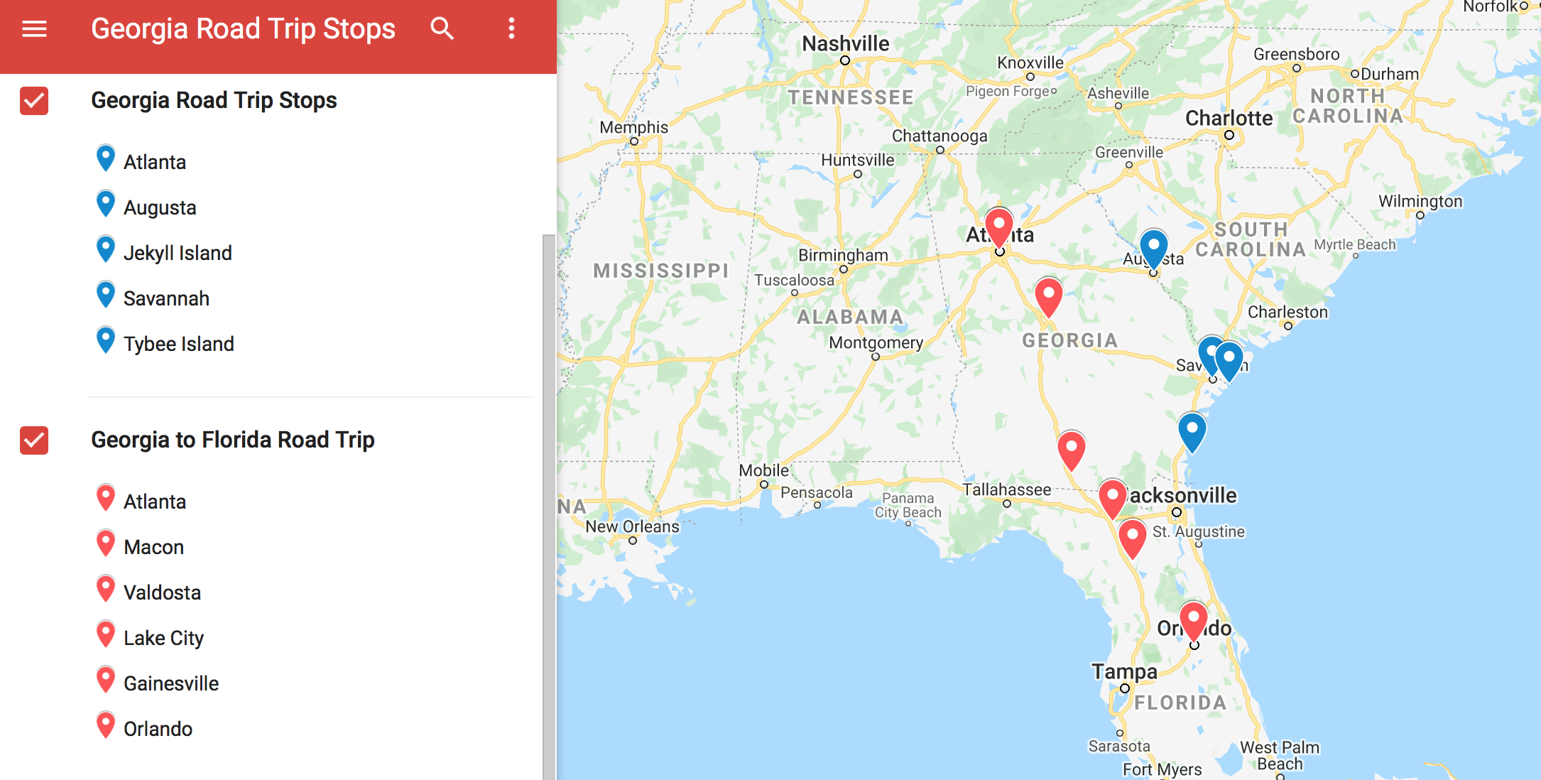
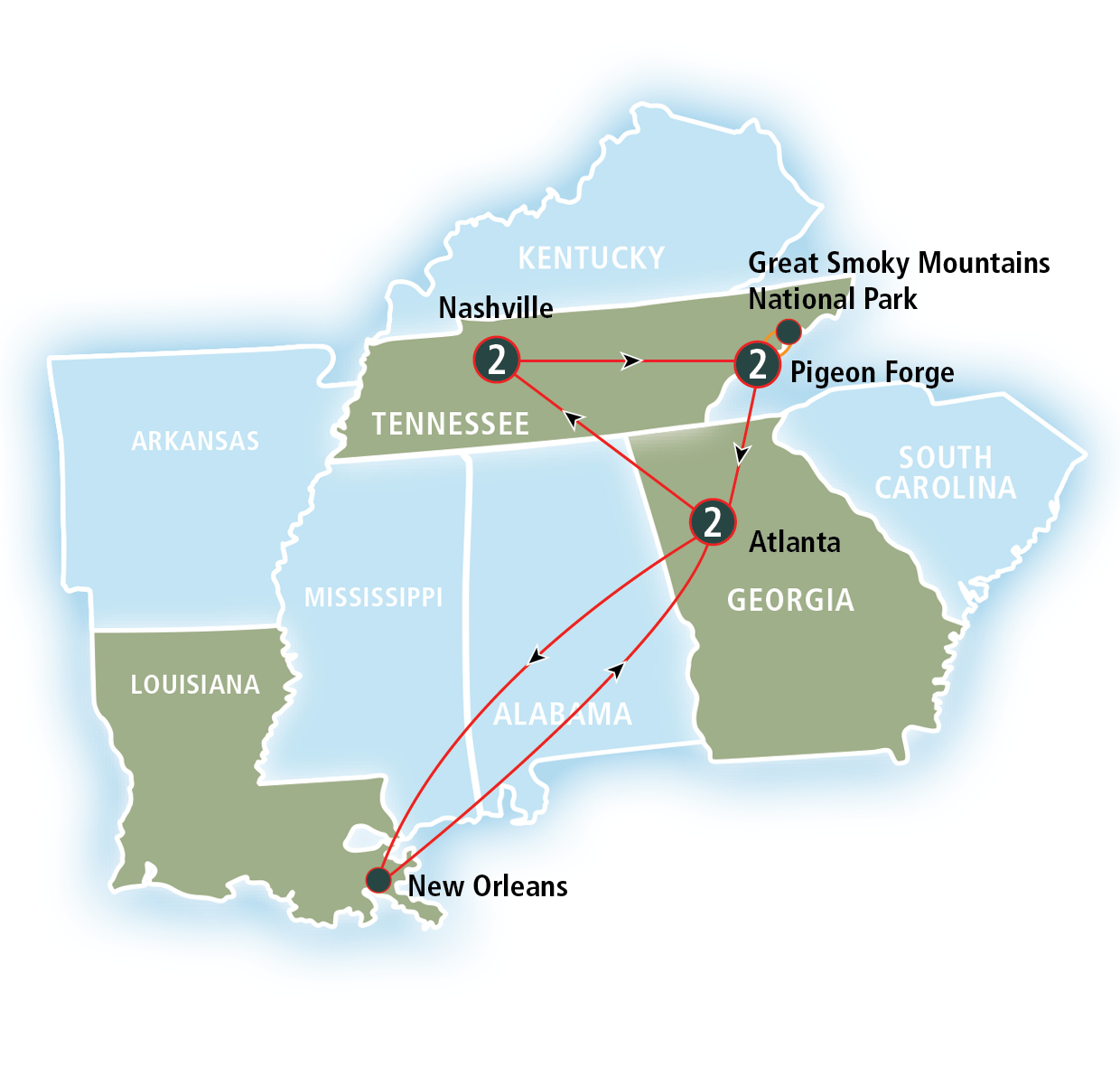
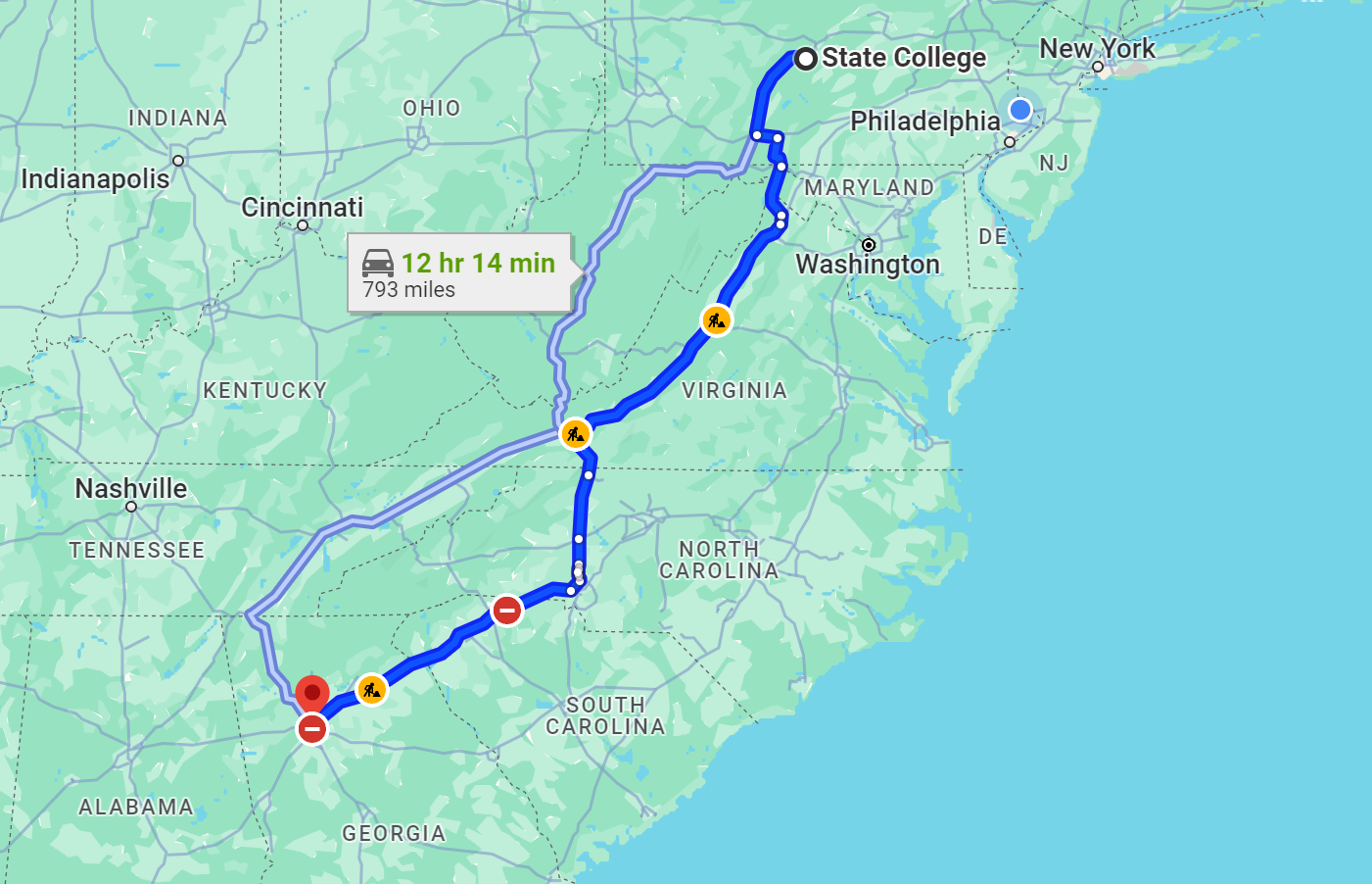
Atlanta serves as the primary logistical anchor for Southeastern travel, functioning as a "hub-and-spoke" system where I-75, I-85, and I-20 converge. This geographical advantage allows travelers to reach the Appalachian Mountains, the Atlantic Coast, and the Gulf of Mexico within a five-hour drive, making it the most efficient starting point for regional exploration.
The concept of the "Atlanta connection" has evolved beyond its world-famous airport. In 2026, the city stands as a sophisticated terrestrial junction, optimized for both internal combustion and electric vehicle (EV) transit. Whether you are traversing the Eastern Seaboard or exploring the deep South, understanding how to navigate this hub is essential for a seamless journey. This guide analyzes the strategic advantages of Atlanta as a road trip base, providing technical insights into routes, infrastructure, and regional connectivity.
The Strategic Geography of the Atlanta Hub
Atlanta’s prominence as a road trip hub is not accidental; it is a result of federal highway planning that prioritized the city as the "Gateway to the South." Three major Interstate highways intersect here, creating a literal crossroad for the eastern United States.
The North-South Arteries: I-75 and I-85
Interstate 75 is the lifeblood of Midwestern-to-Florida transit. Flowing from the Great Lakes down to Miami, it bisects Atlanta, carrying millions of travelers annually. For road trippers, this route provides a direct connection to the Tennessee mountains to the north and the Florida peninsula to the south.
Interstate 85 runs northeast to southwest, connecting the Mid-Atlantic states (like North Carolina and Virginia) with the manufacturing corridors of Alabama and Mississippi. When these two interstates merge in the center of the city, they form the Downtown Connector, a high-capacity (though often congested) transit spine that defines the city's layout.
The East-West Link: I-20
Interstate 20 provides the essential link between the Atlantic coast and the American West. Starting in South Carolina and running through to Texas, it intersects Atlanta horizontally. This route is favored by those moving between the tech hubs of the East Coast and the logistics centers of the South.
Infrastructure and Prerequisites for 2026 Travel
Navigating the Atlanta connection requires more than just a map; it requires an understanding of the state’s evolving infrastructure. As of 2026, several key developments have changed the way travelers interact with the Georgia road system.
EV Charging and the NEVI Program
Georgia has become a leader in the National Electric Vehicle Infrastructure (NEVI) Formula Program. For the 2026 traveler, this means that major corridors—specifically I-75 and I-16—are equipped with high-speed DC fast chargers (150kW minimum) at intervals no greater than 50 miles.
When planning an Atlanta-based road trip in an EV, it is no longer necessary to hunt for chargers in urban pockets. The "Atlanta connection" now includes robust charging hubs at rural exits, allowing for seamless travel to remote destinations like the North Georgia mountains or the Okefenokee Swamp. Travelers should utilize the Georgia Power EV charging map for real-time status updates on state-managed stations.
Navigating the "Perimeter" and Express Lanes
The I-285 loop, known locally as "The Perimeter," surrounds the city. In 2026, the completion of several major interchange projects, including the long-term "Transform 285/400" project, has improved flow, but the loop remains a high-traffic zone.
To bypass the worst congestion, road trippers should utilize the Georgia Express Lanes. These are toll-based lanes that use dynamic pricing based on traffic density. To access these, a Peach Pass is required. Fortunately, the Peach Pass is interoperable with E-ZPass (used in 19 states), SunPass (Florida), and QuickPass (North Carolina). If you are driving from the Northeast or Florida, your existing transponder will likely work in the Atlanta hub.
Primary Road Trip Corridors from Atlanta
Because of its central location, Atlanta offers diverse environments within a half-day's drive. We can categorize these into four distinct "spokes" of the hub.
1. The Mountain Corridor (Northbound)
Taking I-75 North or GA-400 North leads travelers into the Blue Ridge Mountains. This is the most popular route for those seeking outdoor recreation.
- Key Destination: Blue Ridge, GA (90 minutes).
- Technical Detail: The ascent into the mountains involves significant elevation changes. Travelers should ensure their braking systems are inspected, especially if towing trailers or driving heavy SUVs.
- 2026 Status: The expansion of high-speed fiber internet into rural North Georgia has made "work-from-anywhere" road trips highly viable in this corridor.
2. The Coastal Connection (Eastbound)
By taking I-16 (accessed via I-75 South), travelers connect directly to the Georgia coast.
- Key Destination: Savannah, GA (3.5 to 4 hours).
- Logistics: I-16 is a notorious stretch for heavy freight traffic moving to and from the Port of Savannah. Road trippers should be prepared for high volumes of semi-trucks and should utilize the newly expanded lanes near the Hyundai Metaplant in Bryan County.
- Extensions: From Savannah, it is a short drive north to Hilton Head, SC, or Charleston, SC.
3. The Sunshine Route (Southbound)
I-75 South is the primary "Atlanta connection" for those heading to Orlando, Tampa, or the Gulf Coast.
- Key Destination: Valdosta, GA (3 hours) or Orlando, FL (6.5 hours).
- Travel Tip: Avoid passing through the Atlanta Southside (near the airport) during the Friday afternoon "exodus" (2:00 PM – 7:00 PM), as this is one of the most congested bottlenecks in the United States.
4. The Music and Civil Rights Trail (Westbound)
I-20 West connects Atlanta to the historic and cultural landmarks of Alabama.
- Key Destination: Birmingham, AL (2.5 hours).
- Educational Value: This route is essential for travelers interested in the Civil Rights Movement, connecting the Martin Luther King Jr. National Historical Park in Atlanta to the Birmingham Civil Rights Institute and the Edmund Pettus Bridge in Selma.
Comparative Logistics for Major Destinations
The following table outlines the technical specifications for the most common road trips originating from the Atlanta hub in 2026.
| Destination | Major Route | Distance (Approx.) | Est. Drive Time | Primary Fuel/Charge Hubs |
|---|---|---|---|---|
| Asheville, NC | I-85 N to I-26 W | 210 Miles | 3.5 Hours | Greenville, SC / Spartanburg, SC |
| Savannah, GA | I-75 S to I-16 E | 250 Miles | 3.75 Hours | Macon, GA / Metter, GA |
| Nashville, TN | I-75 N to I-24 W | 250 Miles | 4 Hours | Chattanooga, TN / Murfreesboro, TN |
| Destin, FL | I-85 S to I-65 S | 320 Miles | 5.5 Hours | Montgomery, AL / Andalusia, AL |
| Charleston, SC | I-20 E to I-26 E | 300 Miles | 4.75 Hours | Augusta, GA / Columbia, SC |
Essential Planning and Safety Considerations
The Atlanta connection is efficient, but it demands respect for local conditions. Georgia’s weather and traffic patterns can be unpredictable.
Weather Hazards
While Atlanta rarely experiences heavy snow, even minor "wintry mix" events can paralyze the hub. In 2026, the Georgia Department of Transportation (GDOT) utilizes advanced brine application and sensor-based monitoring on the I-285 and I-75/85 Connector. However, summer represents a different risk: heavy afternoon thunderstorms. These storms can reduce visibility to near-zero in minutes. If caught in a downpour on the Atlanta interstates, it is safer to exit the highway rather than stopping on the shoulder, as hydroplaning is a frequent cause of multi-vehicle accidents.
Maintenance and Verification
Before departing from the hub, road trippers should verify their vehicle's readiness. Atlanta's summer heat (often exceeding 95°F in 2026) puts immense strain on cooling systems and battery health.
- Tire Pressure: High road temperatures increase internal tire pressure. Check levels when the tires are "cold" (before driving).
- Emergency Kit: Ensure you have at least one gallon of water per person and a portable power bank. While the hub is well-populated, rural stretches of I-16 or I-20 can have limited services between exits.
Troubleshooting Common Hub Issues
Problem: Missing the I-75/I-85 Split One of the most common mistakes for travelers in the Atlanta connection is failing to navigate the "split" north of downtown. I-75 and I-85 run together through the city but diverge near Brookwood.
- Solution: Stay in the middle lanes while on the Downtown Connector. Signs are posted roughly two miles in advance. If you miss your exit, do not attempt to cross multiple lanes of traffic. Proceed to the next exit and allow your GPS to recalibrate; the grid system in Midtown Atlanta makes it easy to loop back.
Problem: High Toll Charges Travelers without a transponder may find themselves in the Express Lanes by mistake.
- Solution: GDOT uses "toll-by-plate" technology for those without a Peach Pass, but this often incurs administrative fees. It is significantly cheaper to register for a temporary account or ensure your home state's transponder is properly mounted and linked to an active payment method.
Problem: EV Range Anxiety on I-16 While I-16 has been upgraded, the stretch between Macon and Savannah remains largely rural.
- Solution: Use the PlugShare app to verify the real-time availability of chargers in Dublin, GA, which serves as the midpoint of this corridor. In 2026, most chargers here are integrated into large travel centers (like Buc-ee's or Love's), providing amenities while you wait.
FAQs: Navigating the Atlanta Road Trip Hub
What is the best time to drive through Atlanta to avoid traffic? The "Golden Window" for passing through the Atlanta hub is between 10:00 AM and 2:00 PM, or after 8:00 PM on weekdays. On weekends, Saturday mornings before 10:00 AM are generally manageable. Sunday evenings see heavy "return-to-city" traffic from the mountains and the coast.
Do I need a specific pass for tolls in Atlanta? In 2026, the Peach Pass is the local standard. However, Georgia has full reciprocity with E-ZPass, SunPass (Florida), and QuickPass (North Carolina). If you have a transponder from any of these systems, you do not need to purchase a separate Peach Pass.
Are there major construction projects affecting the Atlanta connection in 2026? While the major 285/400 interchange project is largely complete, there is ongoing work on the I-285 Westside Express Lanes. Travelers should check the 511ga.org website or mobile app for real-time lane closures and construction updates before starting their trip.
Can I take a road trip from Atlanta to the coast in a single day? Yes. Savannah and the Golden Isles (St. Simons, Jekyll Island) are approximately 4 hours away. This makes them viable for a long weekend, though a single-day round trip is strenuous due to the high volume of freight traffic on I-16.
Where is the best place to stay if I’m just passing through the Atlanta hub? If you are connecting from north to south, staying in Marietta (North) or McDonough (South) allows you to avoid the high hotel prices of downtown while remaining close to I-75. If you are moving east to west, Covington or Douglasville offer convenient access to I-20.
Final Recommendations for Your Journey
To maximize the efficiency of the Atlanta connection road trip hub, planning should prioritize timing over distance. The "hub" functions best when you treat Atlanta as a gateway rather than a bottleneck.
- Synchronize Your Tech: Ensure your toll transponders are active and your EV routing apps are updated with 2026 charging station data.
- Respect the Connector: If you must drive through the city center, stay alert. The convergence of multiple interstates means frequent lane changes from local drivers.
- Explore the Spokes: Don't just stay on the Interstates. Once you are 50 miles outside the hub, the state-run "Scenic Byways" offer a more immersive look at the Southern landscape.
By leveraging Atlanta’s unique position as a geographic and technological nexus, you can transform a standard drive into a well-coordinated regional expedition.