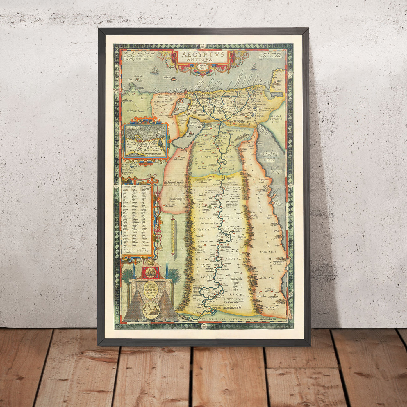
A map of ancient Memphis reveals the central administrative, religious, and commercial heart of Early Dynastic and Old Kingdom Egypt. Situated at the strategic apex of the Nile Delta, south of modern Cairo near the village of Mit Rahina, Memphis served as a physical bridge between Upper and Lower Egypt, anchoring a 30-kilometer ribbon of pyramid fields stretching from Giza to Dahshur.
- Lower Egypt / Nile Delta
- Apex / Cairo
- West Bank (Necropolises & Pyramids)
- Abu Rawash
- Giza
- Abusir
- Saqqara
- Dahshur
- East Bank (Nile River / Settlements)
- Mit Rahina (City/Ptah) (Urban Memphis Core)
- West Bank (Necropolises & Pyramids)
- Apex / Cairo
- Upper Egypt / Nile
Geographical and Strategic Position of Memphis
Founded around 3100 BCE by King Narmer (traditionally identified with Menes), Memphis was established at the precise geographical intersection where the narrow Nile Valley fans out into the broad, fertile Nile Delta. This location allowed the central state to control trade routes, agricultural taxation, and river traffic moving between Upper (southern) and Lower (northern) Egypt.
In antiquity, the city was known by several names reflecting its structural and cultural evolution:
- Inbu-Hedj ("The White Walls"): The original Early Dynastic fortification that formed the royal citadel.
- Men-nefer ("Enduring and Beautiful"): Derived from the nearby pyramid complex of 6th Dynasty Pharaoh Pepi I at Saqqara, which eventually mutated into the Greek name Memphis.
- Hout-ka-Ptah ("Enclosure of the Ka of Ptah"): The grand temple complex dedicated to the patron deity Ptah, a name that evolved through Greek (Aegyptos) into the modern word Egypt.
- Inbu-Hedj (White Walls) - Early Dynastic
- Men-nefer (Pyramid Complex) - Old Kingdom
- Hout-ka-Ptah (Temple of Ptah) - New Kingdom
The physical geography of Memphis was defined by its relationship with the Nile River. Unlike modern settlements along the Nile, ancient Memphis sat directly along a riverbed that shifted progressively eastward over millennia.
As the Nile migrated, older residential and harbor sectors were buried beneath deep layers of river silt, while new municipal quarters expanded onto former floodplains. To the west, the arid limestone plateau offered an elevated, dry environment protected from the annual inundation—making it the ideal spatial setting for royal mortuary complexes.
Mapping the Memphite Region: From Abu Rawash to Dahshur
To understand a map of ancient Memphis, one must distinguish between the urban city core (where the population lived, worked, and worshipped) and the Memphite Necropolis (the vast mortuary belt along the western desert ridge).
Recognized as a UNESCO World Heritage Site, the Memphite region encompasses several distinct archaeological zones spanning more than 3,000 years of construction.
North to South alignment:
- Abu Rawash (Pyramid of Djedefre)
- Giza (Khufu, Khafre, Menkaure, Sphinx)
- Zawyet el-Aryan (Unfinished Pyramids)
- Abusir (5th Dynasty Sun Temples & Pyramids)
- Saqqara (Step Pyramid of Djoser, Serapeum)
- Mit Rahina (City Center & Temple of Ptah)
- Dahshur (Bent & Red Pyramids of Sneferu)
1. The Urban Core: Mit Rahina
Located on the floodplain east of the desert plateau, the modern village of Mit Rahina sits directly atop the central precinct of ancient Memphis. Maps of this core area feature the sprawling Great Temple of Ptah, the ceremonial palace of King Apries (26th Dynasty), the embalming complex of the sacred Apis bulls, and an expansive open-air museum housing monumental statuary, including the colossal limestone statue of Ramesses II.
2. Saqqara: The Primary Necropolis
Situated on the desert plateau directly west of Mit Rahina, Saqqara served as the chief burial ground for Memphis across all major dynastic periods. It contains the world's oldest stone masonry complex—the Step Pyramid of Djoser (3rd Dynasty)—along with dozens of royal pyramids, private mastaba tombs of high-ranking administrative officials, and the subterranean Serapeum, where the sacred Apis bulls were buried in massive basalt sarcophagi.
3. Dahshur: The Royal Expansions
Located south of Saqqara, Dahshur represents a dramatic leap in architectural engineering. It is home to the Bent Pyramid and the Red Pyramid, both built by Pharaoh Sneferu (4th Dynasty). Maps mark Dahshur as the site where ancient Egyptian architects mastered the transition from stepped structures to true, smooth-sided pyramids.
4. Abusir and Zawyet el-Aryan
Positioned between Saqqara and Giza, Abusir served as the royal burial ground for the 5th Dynasty. Maps of Abusir reveal a tightly clustered grouping of pyramids dedicated to pharaohs such as Sahure, Neferirkare, and Nyuserre Ini, alongside nearby sun temples at Abu Ghurab that emphasized the state cult of the sun god Ra.
5. Giza and Abu Rawash
At the northernmost boundary of the Memphite regional map lies the Giza Plateau, site of the Great Pyramids (Khufu, Khafre, and Menkaure) and the Great Sphinx. Further north sits Abu Rawash, where Khufu's successor, Djedefre, constructed his pyramid atop a high cliff overlooking the entire Memphite landscape.
Spatial Map of Key Sites in the Memphite Region
The following table details the primary zones that constitute the spatial map of ancient Memphis, ordering them from north to south along the west bank of the Nile.
| Site / Sector | Primary Era / Dynasties | Key Architectural Structures | Distance from Mit Rahina (Core) | Primary Function |
|---|---|---|---|---|
| Abu Rawash | 4th Dynasty (Old Kingdom) | Pyramid of Djedefre, Early Dynastic mastabas | ~32 km North | Royal Northern Necropolis |
| Giza Plateau | 4th Dynasty | Great Pyramid, Sphinx, Khafre & Menkaure Pyramids | ~22 km North | Royal Mortuary Complex |
| Zawyet el-Aryan | 3rd to 4th Dynasties | Unfinished Pyramid, Layer Pyramid | ~16 km North-Northwest | Royal Necropolis |
| Abusir | 5th Dynasty | Pyramids of Sahure & Neferirkare, Sun Temples | ~10 km Northwest | Royal & Elite Necropolis |
| Saqqara | 1st Dynasty to Ptolemaic Era | Step Pyramid of Djoser, Serapeum, Mastabas | ~3 km West | Main City Necropolis |
| Mit Rahina | Early Dynastic to Roman Period | Temple of Ptah, Palace of Apries, Ramesses II Colossus | 0 km (Urban Center) | Administrative & Religious Capital |
| Dahshur | 4th, 12th, & 13th Dynasties | Bent Pyramid, Red Pyramid, Middle Kingdom Pyramids | ~10 km South | Southern Royal Necropolis |
Modern Archaeological Mapping of Mit Rahina
Mapping the physical city of Memphis presents unique challenges compared to dry desert sites like Saqqara or Luxor. Because the urban capital was built on the fertile Nile floodplain using mud brick, centuries of silt deposition, agricultural cultivation, and modern urban encroachment have buried much of the city beneath meters of waterlogged soil.
- Desert Plateau (Dry)
- Saqqara / Pyramids / Tombs: Well-preserved stone
- Elevation Drop
- Floodplain / Alluvial Zone
- Mit Rahina / Temple of Ptah / Palaces
- Buried mud-brick structures
- High water table & silt accumulation
- Mit Rahina / Temple of Ptah / Palaces
To reconstruct the urban plan of Memphis, modern Egyptologists rely on non-invasive sub-surface surveying technologies rather than traditional excavation alone:
Remote Sensing and Satellite GIS
High-resolution satellite imagery paired with Geographic Information Systems (GIS) allows cartographers to trace sub-surface soil anomalies. Differences in moisture retention and soil density highlight the footprints of buried mud-brick walls, ancient canals, and forgotten harbor basins that are invisible from the surface.
Geophysical Magnetometry and Electrical Resistivity
Projects like the Survey of Memphis, spearheaded by the Egypt Exploration Society, have utilized ground-based geophysics to map buried architectural features. Magnetometers detect minor variations in Earth's magnetic field caused by fired bricks and stone foundations, producing underground maps of entire city blocks, streets, and temple enclosures without disturbing the surface.
Sediment Coring and Geomorphology
By drilling deep sediment cores across the Mit Rahina landscape, geomorphologists analyze micro-fossils, soil strata, and water levels to trace the exact movement of the Nile River over time. This research proves that during the Old Kingdom, the main branch of the Nile ran significantly further west, washing directly past the edge of the Saqqara plateau before gradually shifting eastward toward its modern channel.
- 3100 BCE (Old Kingdom): Saqqara - Nile River - Mit Rahina
- Shifts Eastward over 3,000 Years
- 2026 CE (Modern Era): Saqqara - Mit Rahina - Nile River
The Historical Evolution of the City Plan
The map of Memphis was dynamic, changing across different eras of Egyptian history to reflect shifts in political power, military priorities, and foreign trade.
The Old Kingdom Fortress (c. 2686–2181 BCE)
During the Old Kingdom, Memphis was organized around the royal citadel of Inbu-Hedj. The layout featured thick defensive walls painted white, administrative treasuries, granaries, and workshops that supplied royal tomb-building projects along the desert ridge.
Residential quarters were arranged around central avenues, with agricultural fields and harbor docks along the ancient Nile bank.
The New Kingdom Urban Expansion (c. 1550–1069 BCE)
During the New Kingdom—despite the political capital moving to Thebes in Upper Egypt—Memphis remained the imperial military headquarters, administrative hub, and chief industrial center. The city map expanded dramatically during this era.
Pharaohs including Thutmose III, Amenhotep III, and Ramesses II enlarged the Temple of Ptah into one of the largest religious complexes in Egypt, rivaled only by Karnak. Specialized foreign quarters were established, housing merchants, mercenaries, and artisans from Canaan, Cyprus, and the Aegean world.
- New Kingdom Memphis Extent:
- Palace Precinct
- Industrial Workshops
- Temple of Ptah Enclosure (Enlarged by Ramesses II)
- Foreign Quarters (Aegean / Canaanite)
- Military Garrisons & Harbor Docks
The Late Period and Decline (c. 664–332 BCE)
In the Late Period, Memphis was repeatedly fortified against foreign invasions by Assyrian, Persian, and Greek forces. The northern sector of the city became dominated by the monumental palace-fortress of King Apries, built on a high mud-brick platform to overlook the surrounding terrain.
However, following Alexander the Great's conquest of Egypt in 332 BCE and the subsequent founding of Alexandria on the Mediterranean coast, Memphis lost its status as Egypt's premier commercial hub.
During the Greco-Roman and Byzantine eras, the city's stone temples were progressively dismantled to provide building material for Alexandria and later medieval Cairo.
How to Read a Map of Ancient Memphis: A Guide for Researchers and Visitors
Navigating an archaeological map of Memphis requires understanding the overlay of modern infrastructure onto ancient topography. Visitors traveling to Mit Rahina today navigate a landscape dominated by agricultural fields, small villages, and irrigation canals.
- Modern Highway / Cairo (20 km North)
- Mit Rahina Museum Zone
- Colossus of Ramesses II
- Alabaster Sphinx
- Open-Air Statuary Garden
- West: Path to Saqqara
- Step Pyramid Precinct
- Serapeum & Mastabas
- East: Unexcavated Core
- Temple of Ptah Ruins
- Sunken Mud-brick Walls
- Mit Rahina Museum Zone
When evaluating maps of the site:
- Identify the Core Enclosure: Look for the outline of the Hout-ka-Ptah (Great Temple of Ptah), which forms a large rectangular precinct in central Mit Rahina.
- Note the Elevation Contours: Higher mounds (tells) scattered across the floodplain mark areas where dense mud-brick habitations collapsed atop one another over centuries, creating elevated terrain above the modern agricultural field level.
- Trace the Desert Axis: Recognize that every royal burial site mapped on the western plateau—whether Giza, Abusir, or Saqqara—was oriented directly in relation to the administrative power center down in the Memphis valley.
- Locate the Open-Air Museum: The primary point of interest for visitors is situated on the western edge of Mit Rahina village, housing the colossal statue of Ramesses II and an alabaster sphinx dating to the New Kingdom.
Frequently Asked Questions
Where is ancient Memphis located on a modern map of Egypt?
Ancient Memphis is located in Lower Egypt on the west bank of the Nile River, approximately 20 kilometers (12 miles) south of modern Cairo and modern Giza. Its central administrative and temple ruins sit beneath and around the modern village of Mit Rahina in the Giza Governorate.
Why was Memphis built at its specific geographical location?
Memphis was intentionally founded at the junction of Upper Egypt (the narrow river valley) and Lower Egypt (the broad delta). This strategic position allowed Egypt's early pharaohs to unify and control trade routes, river traffic, agricultural revenue, and military defenses across both regions from a single central capital.
Is any part of ancient Memphis visible today?
Yes, parts of ancient Memphis are visible, primarily at the Mit Rahina Open-Air Museum, where visitors can see monumental sculptures, including a colossal limestone statue of Ramesses II, an alabaster sphinx, and stone chapel elements. However, much of the ancient domestic city lies buried beneath agricultural fields, modern structures, and a high groundwater table.
What is the difference between Memphis and Saqqara on a map?
Memphis was the living, urban city center located down on the fertile Nile floodplain, containing palaces, homes, markets, and municipal temples. Saqqara was the vast desert necropolis located on the elevated plateau directly west of Memphis, serving as the primary cemetery where citizens and rulers of Memphis were buried.
How do modern archaeologists map the buried structures of Memphis?
Because the mud-brick ruins of Memphis sit below waterlogged agricultural soil, archaeologists use non-invasive technology including satellite remote sensing, high-resolution GIS, electrical resistivity, magnetometry, and deep-soil core drilling. These techniques detect underground walls, ancient river channels, and buried architectural foundations without extensive digging.
Recommendations and Next Steps
To explore the spatial geography and historical context of ancient Memphis further, consider the following technical and travel resources:
- Review Official UNESCO Mapping Data: Examine the GIS boundaries and cartographic surveys published by the UNESCO World Heritage Centre to understand the protected buffer zones surrounding Memphis, Saqqara, and Dahshur.
- Consult Field Survey Reports: Read published research from the Egypt Exploration Society (EES), specifically their Survey of Memphis reports, which detail geomorphological core drilling, river migration analysis, and geophysical mapping of the Mit Rahina area.
- Plan an On-Site Field Visit: When visiting the region near Cairo, pair a morning trip to the Mit Rahina Open-Air Museum with an afternoon at the Saqqara Plateau. This spatial route allows you to directly experience the short physical distance separating the living urban capital down in the valley from its mortuary complexes up on the desert ridge.