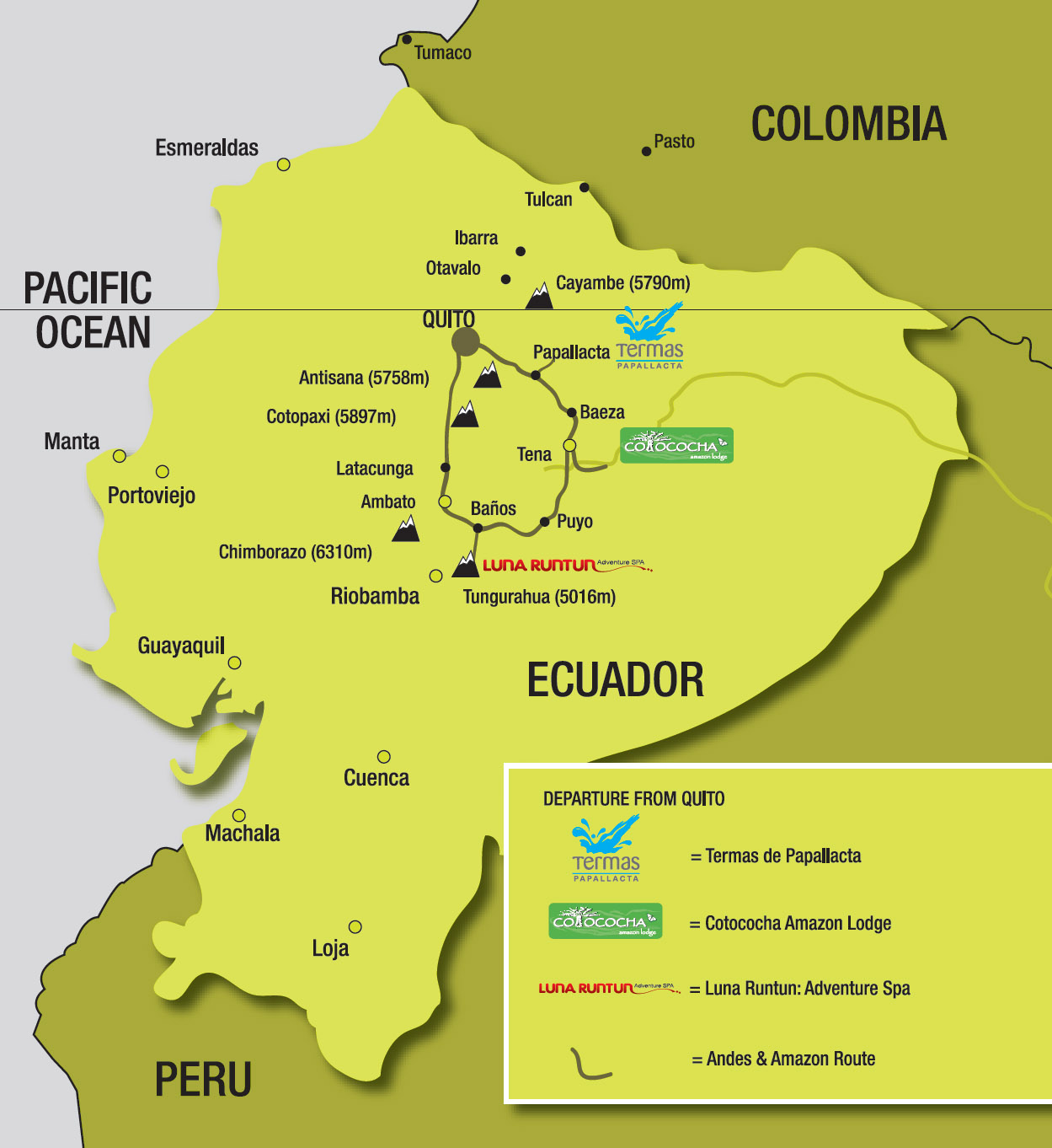
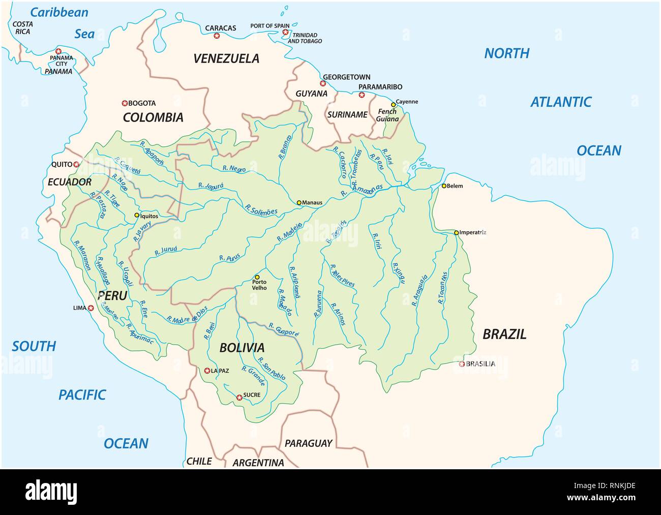
Understanding the Amazon region in Ecuador requires a clear grasp of its vast, biodiverse landscape, which accounts for roughly half of the nation's territory. Whether you are planning an expedition to the Yasuní Biosphere Reserve, researching the logistics of river travel in the Orellana province, or studying the hydrocarbon infrastructure of the Oriente, a reliable map of the Ecuadorian Amazon is an essential starting point. This guide synthesizes geographical data, logistical requirements, and regional safety considerations for those navigating this complex ecosystem in 2026.
The Geography of the Ecuadorian Amazon (El Oriente)
The Ecuadorian Amazon, locally referred to as El Oriente, is bounded to the west by the foothills of the Andes Mountains and to the east by the border with Peru. While it covers nearly 120,000 square kilometers, it is not a monolithic jungle. The region is characterized by significant topographical shifts as the high-altitude cloud forests of the Andes transition into the dense lowland rainforests of the Amazon Basin.
For navigation and mapping purposes, the region is typically divided into two distinct zones:
- The Upper Amazon (Pie de Monte): This area includes the provinces of Sucumbíos, Orellana, and Napo. It is characterized by high rainfall, rapid river descent, and the majority of the country's oil infrastructure. Maps of this region often highlight the extensive network of secondary and primary roads branching out from cities like Coca (Puerto Francisco de Orellana) and Lago Agrio.
- The Lowland Rainforest: Extending toward the Peruvian border, this zone includes parts of Pastaza, Morona Santiago, and Zamora Chinchipe. Here, road infrastructure is virtually non-existent, and navigation is almost exclusively managed via river transport or light aircraft.
Why Specialized Maps are Necessary
Standard digital maps (such as ubiquitous consumer-grade global GPS applications) often fail to capture the reality of the Amazonian landscape. In 2026, satellite imagery remains the most accurate way to visualize the region, but it lacks the critical metadata needed for ground travel. A specialized map for this region must prioritize:
- River Channels and Navigability: Seasonal water fluctuations can render certain tributaries impassable. Maps that label permanent vs. seasonal water channels are vital for logistics.
- Indigenous Territories: A significant portion of the Amazon in Ecuador is under the legal jurisdiction of indigenous nationalities. These areas are not merely "forest"; they are governed territories. Respecting boundaries and obtaining proper transit or entry permits is a legal and ethical requirement.
- Infrastructure Layers: For professional or research purposes, layers indicating oil concessions, pipelines, and airstrip locations provide a clearer picture of human impact and potential travel hubs.
- Protected Areas: The map must delineate the boundaries of National Parks such as Yasuní, Sumaco Napo-Galeras, and Llanganates, where strict regulations apply to movement and research.
Navigating Logistics: The Coca and Lago Agrio Hubs
For most travelers and logistics managers, the city of Coca (officially Puerto Francisco de Orellana) serves as the primary gateway to the northern Amazon. Mapping this region requires understanding the interface between road transport and river logistics.
Road-to-River Transition
Roads in the Ecuadorian Amazon are generally paved until they reach major river ports. Beyond these points, the map transitions from road infrastructure to river routes.
- Coca: The main port for the Napo River. Large motorized canoes (peque-peques or covered boats) act as the primary "bus system" of the region.
- Lago Agrio: A hub primarily serving the northern oil fields and access points toward the Cuyabeno Wildlife Production Reserve.
Key Mapping Considerations for 2026
When viewing a map of the Ecuadorian Amazon in 2026, pay close attention to the following features:
| Feature Category | Mapping Significance | Practical Impact |
|---|---|---|
| Primary Roads | E45 (Troncal Amazónica) | Main artery connecting northern and southern Amazonian provinces. |
| River Ports | Points of embarkation | Essential for scheduling cargo or passenger transport. |
| Indigenous Lands | Protected areas/Territories | Requires prior coordination with community leaders. |
| Airstrips | Remote access points | Used by environmental monitors and authorized scientific expeditions. |
Digital Mapping and GPS Reliability
While offline mobile maps are popular, they provide limited value in the deep jungle where signal coverage is nonexistent. For serious navigation, you should rely on professional-grade Geographical Information System (GIS) data or topographic maps provided by the Instituto Geográfico Militar (IGM) of Ecuador.
If you are using GPS hardware, ensure your device is pre-loaded with local coordinate systems (typically WGS84). Relying on a standard "satellite view" is helpful for orientation but dangerous for navigation, as it does not indicate the presence of rapids, hidden shoals, or illegal trails that could lead to trespassing on restricted zones.
Safety and Legal Compliance
Mapping your journey is the first step in safety planning. The Ecuadorian Amazon is subject to specific regulations, especially regarding the following:
- Restricted Zones: Certain areas along the border with Peru and specific hydrocarbon extraction zones are restricted. Check the most recent government notices for "Zonas de Seguridad" (Security Zones).
- Permits for Research: If your map usage is for academic or professional research, you must obtain authorization from the Ministry of Environment, Water and Ecological Transition (Ministerio del Ambiente, Agua y Transición Ecológica).
- Indigenous Community Protocols: If you are traveling through indigenous lands, you must verify the community protocols. Many communities have specific "visitor maps" or require a local guide to ensure you do not inadvertently violate ancestral territory.
Frequently Asked Questions
Is there cellular service in the Amazon for navigation?
Cellular coverage is available in major towns like Coca, Tena, and Lago Agrio, but it drops off significantly within a few kilometers of urban centers. Do not rely on cloud-based mapping apps for deep-jungle travel.
Where can I obtain high-resolution topographic maps of Ecuador?
The Instituto Geográfico Militar (IGM) in Quito is the official source for physical and digital topographic mapping of Ecuadorian territory. Their maps provide the most accurate elevation and hydrological data.
Can I navigate the Amazon rivers without a guide?
It is strongly discouraged. Even with a map, the river systems are highly dynamic. Seasonal flooding changes the course of channels, and navigating without an experienced local pilot poses a significant safety risk.
Are there maps indicating the locations of oil pipelines?
Yes, the Ministry of Energy and Mines publishes documentation regarding energy infrastructure. However, for security and environmental protection reasons, this information is often regulated and not always featured in public-facing recreational maps.
What is the best season for river navigation?
High-water season (typically March through August) generally allows for greater accessibility to smaller tributaries, while the low-water season (September through February) can make these same areas inaccessible by boat but better for hiking.
Recommendation for Future Action
Before embarking on travel to or research within the Ecuadorian Amazon, treat the "map" as a dynamic document. Start by identifying your target coordinates on a standardized IGM topographic sheet. Overlay this with current satellite data to confirm local ground conditions. Finally, consult with local authorities or community leaders in the specific district you intend to visit. Relying on static, generic mapping software is insufficient for a region as geologically and logistically fluid as the Amazonian Oriente. Always carry an analog backup of your map and a high-precision GPS device capable of storing offline waypoints.