Locating an active Hawaiian volcanoes map provides essential, real-time data for tracking volcanic activity across the archipelago. These digital resources, managed primarily by the United States Geological Survey (USGS) and the Hawaiian Volcano Observatory (HVO), offer critical updates on seismic unrest, gas emissions, and eruption status to ensure public safety and situational awareness for residents and researchers.
The Role of Official Volcanic Monitoring
To effectively interpret an active Hawaiian volcanoes map, one must understand the governing institutions that provide the data. Volcanic activity in Hawaii is not a singular event but a continuous geological process. The USGS, through the Hawaiian Volcano Observatory (HVO), maintains a sophisticated network of sensors, including tiltmeters, GPS stations, seismometers, and gas-monitoring equipment.
When you access a reputable map, you are viewing the output of this technical infrastructure. The primary intent of these maps is to convert raw sensor data into actionable intelligence. For the average user, this means the difference between knowing if a localized tremor is an indicator of magma movement or merely a standard tectonic shift. These platforms are designed to be accessible, moving beyond academic jargon to provide clear alerts through color-coded status levels—ranging from "Normal" to "Warning" or "Watch"—which directly correlate to the displayed geographic data.
Navigating the Hawaiian Volcanoes Mapping Infrastructure
Most users seeking a map of active volcanoes in Hawaii are looking for the HVO’s daily or weekly updates. Navigating these digital interfaces requires understanding the hierarchy of information.
- Map Layers: Most official maps allow users to toggle between different layers. You might see "Seismicity" (earthquake data), "Deformation" (ground swelling or sinking), and "Gas/Geochemical" data. Understanding the interplay of these layers is vital; for instance, increased seismicity accompanied by ground deformation is a classic precursor to an eruption.
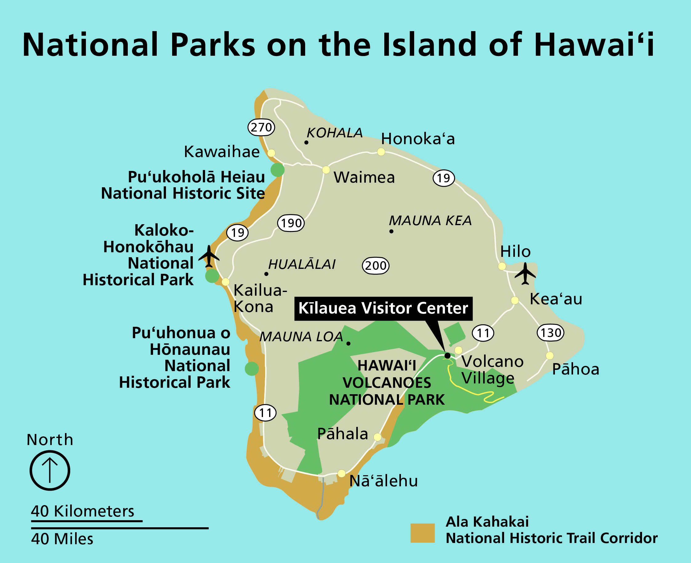
- Geographic Focus: While Hawaii has many volcanoes, the focus on "active" maps is almost exclusively on the Big Island (Hawaii Island), where Mauna Loa and Kīlauea remain the most monitored entities.
- Real-Time Feeds: Ensure the map you are using pulls data from the USGS HVO live feed. Many third-party weather or travel sites use static imagery, which can be misleading or dangerously outdated.
Key Active Volcanoes and Monitoring Targets
The following table provides a breakdown of the primary geological features currently monitored on the Big Island of Hawaii. These locations are the focal points of any professional-grade volcano map.
| Volcano Name | Activity Status | Monitoring Priority | Primary Indicator |
|---|---|---|---|
| Kīlauea | Highly Active | Critical | Summit lava lake, rifts |
| Mauna Loa | Active | Critical | Flank deformation, gas |
| Hualālai | Dormant/Active | Moderate | Long-term seismic trends |
| Mauna Kea | Dormant | Low | Geodetic monitoring |
| Lōʻihi (Kamaʻehuakanaloa) | Submarine/Active | Low/Remote | Hydrophone/Seismic arrays |
Understanding this table is essential for interpreting map alerts. If an alert is issued for Kīlauea, it generally pertains to the summit or the East Rift Zone. An alert for Mauna Loa, given its massive scale, involves a much larger potential impact area, triggering different protocols for civil defense and air traffic warnings.
Interpreting Technical Data on Maps
When reviewing map data, users often encounter technical terms that require clarification. "Deformation" refers to the inflation or deflation of the volcano's surface, often measured in microradians. A rapid shift in tilt—the slope of the ground—often indicates magma migrating toward the surface.
"Seismicity" refers to the frequency and magnitude of earthquakes. A "swarm" of small, high-frequency earthquakes is a common indicator that magma is fracturing rock as it pushes upward. When using a map, look for the clustering of these events. A cluster moving from a deep point to a shallow point is a specific, actionable indicator of an imminent volcanic threat.
Public Safety and Geographical Constraints
For residents and visitors, the information on an active Hawaiian volcanoes map serves as the foundation for safety planning. Hawaiian volcanic eruptions—particularly those from Kīlauea—often manifest as effusive lava flows rather than explosive events. However, the associated hazards, such as volcanic smog (vog), acid rain, and sudden ground cracking, are significant.
The map acts as the primary tool for the Hawaii County Civil Defense Agency. When the map shows an eruptive event, public information officers use that data to define "inundation zones." If you are planning travel or residence in these regions, you must cross-reference your specific location against the zones identified in the HVO’s hazard assessment maps. These maps differentiate between lava flow hazards, which are long-term, and immediate hazards like sulfur dioxide exposure.
Troubleshooting Common Mapping Misconceptions
A frequent mistake users make is assuming that all "active" volcanoes on a map are currently erupting. In geological terms, "active" simply means the volcano has erupted in recent history and is capable of doing so again.
- Static vs. Live Maps: Ensure your browser is not caching an old page. If the timestamp on the map legend is more than 24 hours old, do not rely on it for safety decisions.
- Scale Limitations: Volcanic hazards can change in minutes. A map showing a "safe" road might be outdated if a lava flow has recently breached a barrier. Always prioritize local radio, civil defense sirens, and official emergency management announcements over web-based maps during an active emergency.
- Interpretation of "Vog": Many maps track gas emissions, but they do not necessarily map the real-time wind dispersal of vog. A volcano might be showing low seismic activity, but if the wind is shifting, the respiratory hazards can remain high.
Frequently Asked Questions
1. Is it safe to hike near volcanoes marked as active on a map? Access is strictly governed by the National Park Service and local officials. Even if a map shows a volcano as "active," large portions of the surrounding national park may be open to visitors, while specific trails are closed due to high volcanic gas or ground instability. Always check the official National Park Service alerts page before entering any volcanic area.
2. How often are Hawaiian volcano maps updated? Official HVO maps are updated daily, with more frequent updates issued during heightened periods of unrest. In 2026, the standard for professional monitoring involves near-instantaneous telemetry, meaning the web interface is usually refreshed every few minutes to reflect the latest seismic and deformation data.
3. What is the difference between an alert level and a hazard zone? An alert level (e.g., Advisory, Watch, Warning) describes the current status of the volcano's activity. A hazard zone refers to a geographic area identified by scientists as being at risk for specific threats, such as lava inundation or tephra fallout, based on historical eruption data.
4. Can I predict an eruption using an active volcanoes map? While you can monitor the precursors—such as seismic swarms and surface deformation—predicting the exact time and location of an eruption is scientifically impossible. The maps show trends and probabilities, not a precise schedule. Never use these tools to justify approaching an eruption site for observation.
5. Where can I find the most reliable active volcanoes map for Hawaii? The most authoritative source is the United States Geological Survey (USGS) Hawaiian Volcano Observatory website. It is the only entity authorized to provide the official status of the volcanoes. Avoid social media feeds or third-party weather apps for life-safety information, as these may provide unverified or misinterpreted data.
Professional Recommendations for Map Usage
If your intent is to monitor these geological features, create a bookmark folder containing the direct links to the USGS HVO monitoring dashboards. Do not rely on search engine snippets, as these are often delayed. For those living in high-risk zones, ensure you have subscribed to the County of Hawaii’s mass notification system, which pushes alerts directly to mobile devices.
Geology is a dynamic science; the state of the Hawaiian islands is constantly shifting. Treat your active Hawaiian volcanoes map as a diagnostic tool rather than a final authority. If the data on your map indicates an elevated status level, shift your focus immediately to official civil defense reports to understand the potential impact on your specific location.