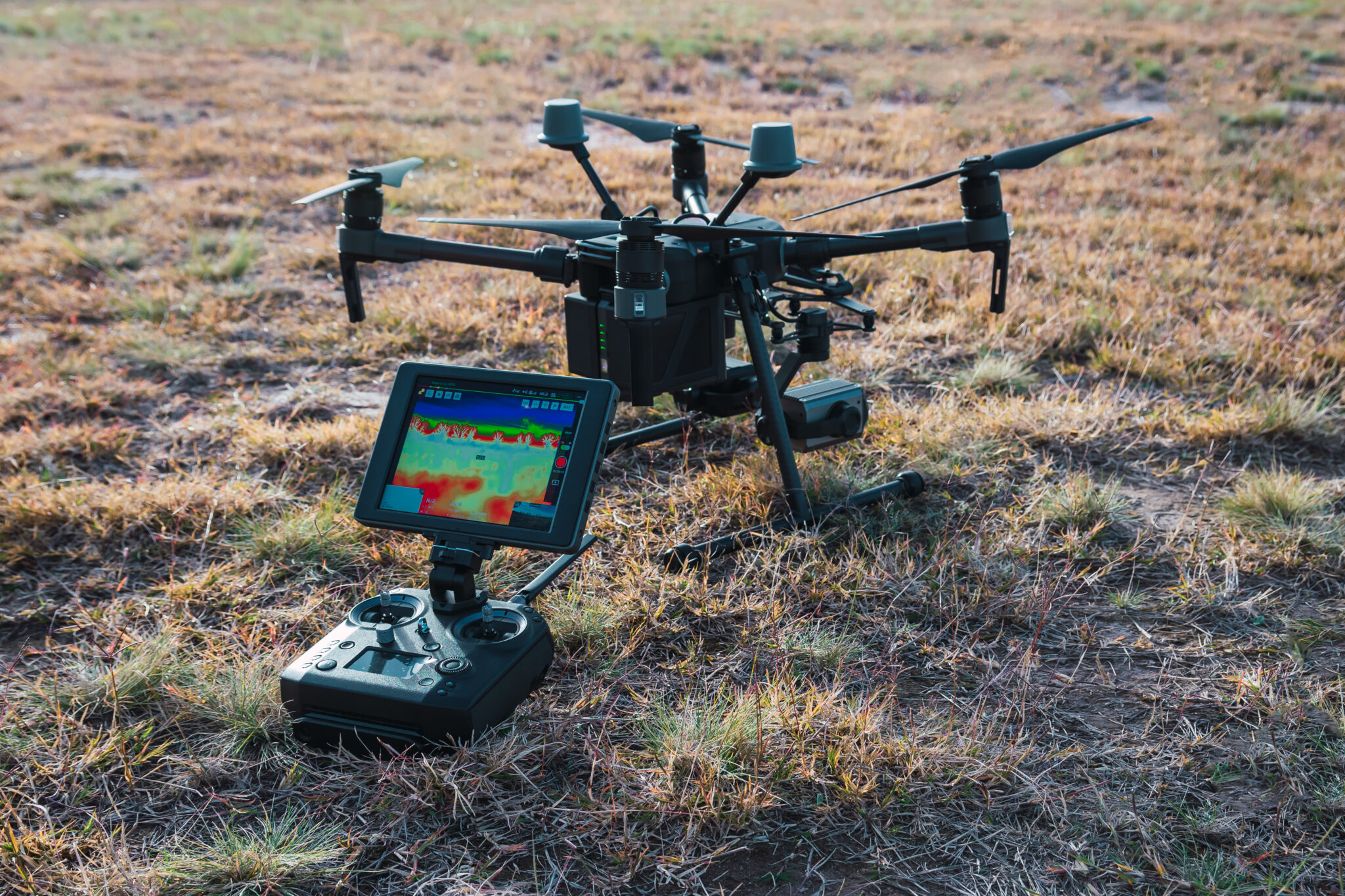
The "air x-ray" aerial imaging revolution refers to the integration of advanced backscatter X-ray technology and high-energy radiographic sensors onto unmanned aerial vehicles (UAVs) to conduct non-destructive testing (NDT) on critical infrastructure. This evolution moves beyond traditional optical or thermal drone inspections by enabling the subsurface analysis of materials, such as concrete, metallic pipelines, and aircraft fuselages, from an aerial vantage point without requiring physical contact.
The Technological Evolution: From Ground to Sky
For decades, industrial radiography was confined to terrestrial settings. Technicians would manually position X-ray sources and detector plates on either side of a structure to identify corrosion, fatigue cracks, or internal voids. While highly accurate, this process is slow, labor-intensive, and often dangerous, particularly when inspecting high-altitude bridges, large-scale storage tanks, or offshore wind turbine blades.
The current revolution stems from two primary technical advancements: the miniaturization of high-voltage power supplies and the development of lightweight, high-sensitivity digital detector arrays. These components allow drones to carry the necessary payload to perform "air-borne radiography." By utilizing backscatter X-ray technology, these systems eliminate the need for the source and detector to be on opposite sides of the target. Instead, the system measures the radiation reflected (scattered) back from the material, allowing for a one-sided inspection that is uniquely suited for mobile, aerial platforms.
Core Applications in Modern Infrastructure
The primary goal of this imaging revolution is to improve the safety and longevity of assets that are otherwise difficult to reach. In 2026, the adoption of this technology is focused on specific, high-stakes environments.
Bridge and Tunnel Integrity
Civil engineers use aerial X-ray imaging to scan concrete bridge decks for rebar corrosion and salt contamination. Traditional ultrasonic testing requires close contact and massive amounts of time. An aerial unit can map the internal density of concrete spans, identifying areas of spalling or structural weakness before they become visible on the surface.
Aerospace Maintenance
The "air x-ray" capability is revolutionizing the maintenance of large commercial aircraft. Inspecting fuselage sections for fatigue cracks usually requires scaffolding and hours of manual labor. Aerial platforms equipped with specialized X-ray emitters can perform rapid, automated scans of wing spars and body panels, documenting structural integrity far faster than traditional manual NDT methods.
Energy Sector Pipelines
Oil and gas pipelines, particularly those in remote or ecologically sensitive areas, are prone to corrosion under insulation (CUI). Aerial X-ray systems allow inspectors to fly along these pipelines, scanning through the insulation layer to detect thinning or leaks without stripping away the protective covering, which saves significant time and prevents potential environmental exposure during inspection.
Technical Prerequisites and Operational Requirements
Before implementing an aerial X-ray solution, organizations must address strict operational and regulatory prerequisites. This is not a "plug-and-play" technology; it requires a specialized infrastructure.
- Radiation Safety Zoning: Because these devices emit ionizing radiation, the flight path must be tightly controlled. The "exclusion zone"—the area where radiation levels exceed safe thresholds—must be defined and secured prior to flight. In 2026, regulatory bodies like the Nuclear Regulatory Commission (NRC) and equivalent international agencies maintain rigorous guidelines for the use of mobile radiation sources.
- Specialized UAV Payloads: Not every drone can carry an X-ray source. The UAV must have high-payload stability, vibration damping for precision imaging, and a dedicated power link to support the X-ray generator.
- Data Processing Infrastructure: Unlike standard 4K video, X-ray data requires high-level post-processing. Raw radiographic imagery must be passed through proprietary algorithms to filter out environmental noise—such as the motion of the drone or atmospheric interference—to produce a usable diagnostic map.
Comparative Analysis: Aerial X-Ray vs. Conventional NDT
Choosing the right inspection method depends on the specific requirements of the asset. The table below outlines how aerial X-ray technologies compare to traditional inspection methods currently in use.
| Inspection Method | Primary Use Case | Speed of Inspection | Subsurface Depth | Safety Risk |
|---|---|---|---|---|
| Visual (RGB Camera) | Surface defects | High | None | Low |
| Ultrasonic (Manual) | Internal voids/thickness | Low | High | Medium |
| Thermography (Drone) | Heat loss/moisture | Medium | Shallow | Low |
| Aerial X-Ray | Deep structural cracks | Medium | High | High (Radiation) |
Safety, Legal, and Regulatory Considerations
The use of "air x-ray" technology is governed by strict international laws regarding the use of ionizing radiation sources. Operators must hold specific licenses for "portable industrial radiography." In 2026, the intersection of aviation law (UAV flight regulations) and radiological safety law creates a complex compliance landscape.
Operators must ensure that:
- ALARA Compliance: All operations adhere to the "As Low As Reasonably Achievable" principle to minimize radiation exposure to the public and the flight crew.
- Regulatory Filings: Any deployment must be preceded by an approved safety plan submitted to regional aviation and health authorities.
- Qualified Personnel: Only certified NDT Level II or Level III technicians may interpret the results, as identifying internal defects from radiographic images requires deep training in material science and weld inspection.
Overcoming Operational Limitations
While revolutionary, the technology is not without challenges. The primary bottleneck is energy consumption. Generating X-rays is power-intensive, which limits the flight time of the drone to typically between 15 and 30 minutes. To address this, many operators utilize "tethered drone" systems. A thin, high-tensile tether provides continuous power from a ground station, allowing for indefinite flight time while the drone remains at the target location.
Another limitation is weather sensitivity. Aerial X-ray systems require high precision to maintain a consistent distance from the target. High winds can induce enough vibration to blur the images, rendering them useless for high-fidelity defect analysis. Consequently, most field deployments are restricted to low-wind conditions, necessitating flexible project timelines.
Frequently Asked Questions
Does the air x-ray process harm the structure being scanned? No. Radiography is a non-destructive testing method. It uses short-duration exposure to radiation to capture internal imagery, similar to a medical X-ray. It does not heat, stress, or physically alter the material being inspected.
Are these drones allowed to fly in populated areas? Generally, no. Due to the inherent risk of radiation exposure, these drones are restricted to "controlled environments." They cannot be flown over residential areas or public spaces without explicit clearance and the implementation of a cleared safety exclusion zone.
How accurate is aerial radiography compared to manual laboratory testing? The accuracy is highly comparable in terms of resolution. The advantage of aerial systems is the ability to maintain the exact alignment required for high-resolution imaging on large, complex structures that would be otherwise impossible to inspect manually.
What is the expected lifespan of the equipment? With regular maintenance and specialized calibration, the X-ray generation components typically last for 5,000 to 10,000 hours of operation. Drone airframes, however, are typically cycled more frequently due to the rigors of field operations.
How are the results verified? Results are verified through a dual-process: first, automated image recognition software identifies potential anomalies, and second, a certified NDT technician reviews the flagged imagery to confirm the presence of structural defects or material degradation.
Moving Forward with Implementation
If your organization is considering the adoption of aerial X-ray imaging, the initial step is a feasibility study focused on the specific materials and geometry of your assets. Begin by consulting with a licensed NDT service provider to determine if your inspection goals can be met by current-generation backscatter systems. Ensure that your internal regulatory team is involved early to handle the complexities of radiation safety permits. By integrating these systems into your preventative maintenance schedule, you can significantly reduce the risk of structural failure while minimizing the need for dangerous, human-led inspections at height.