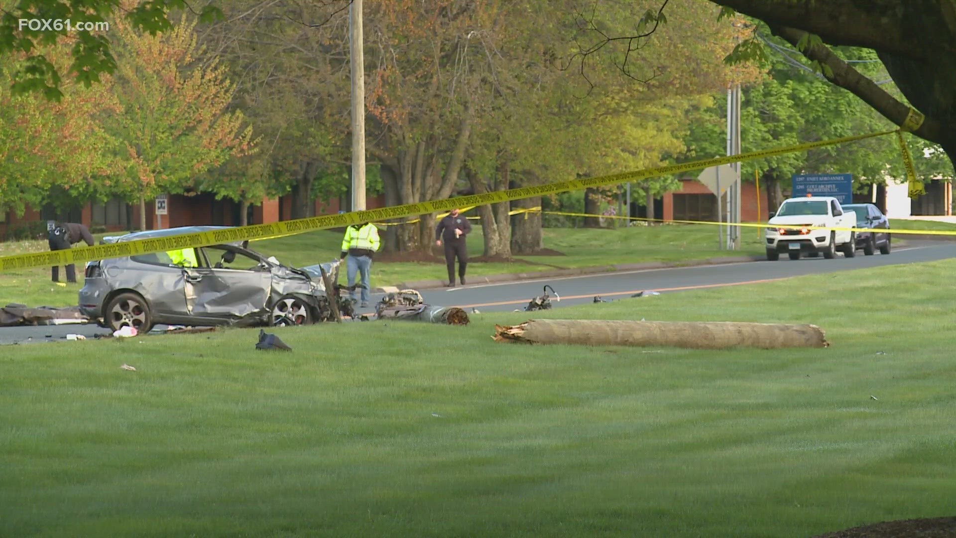
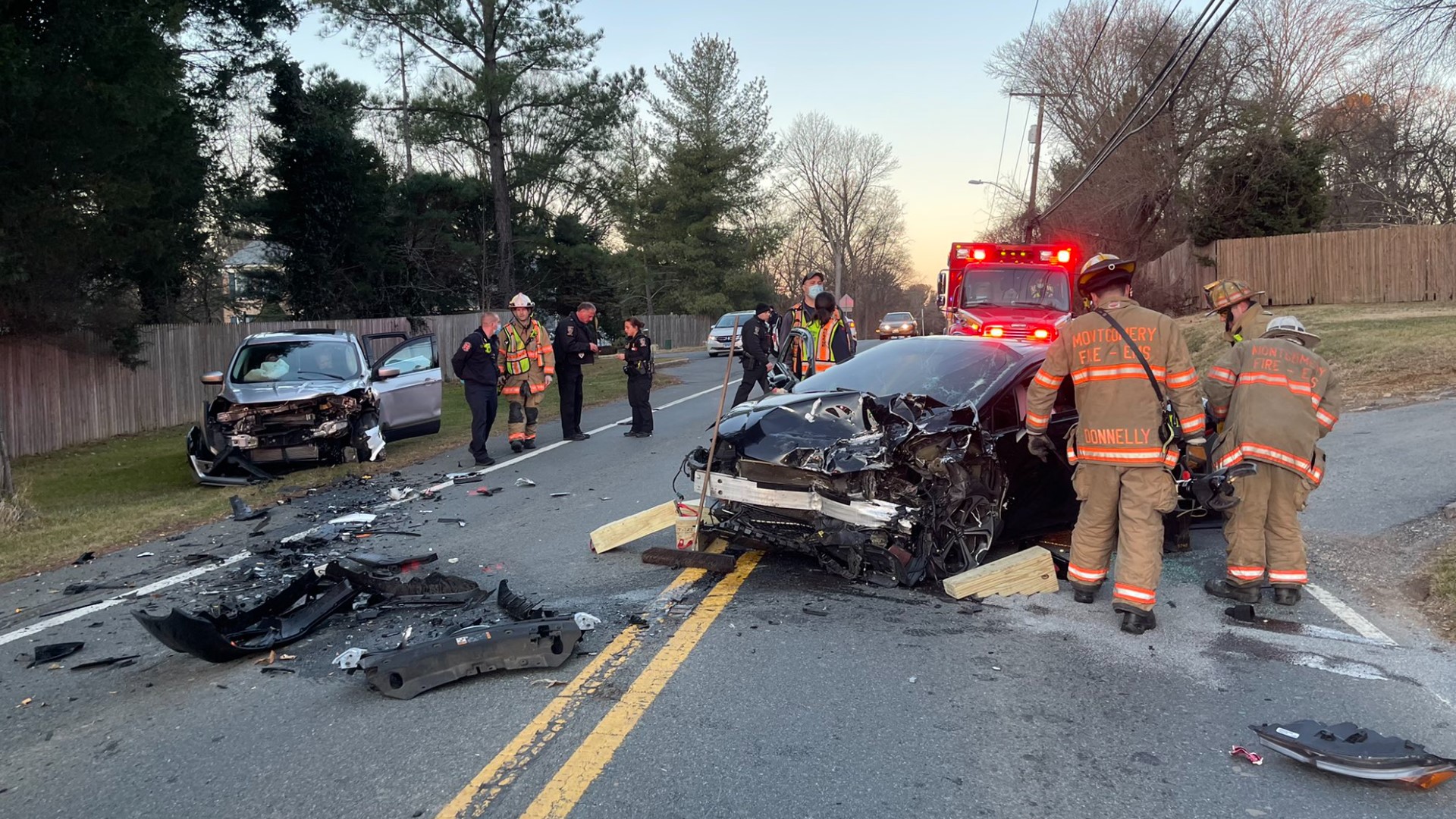
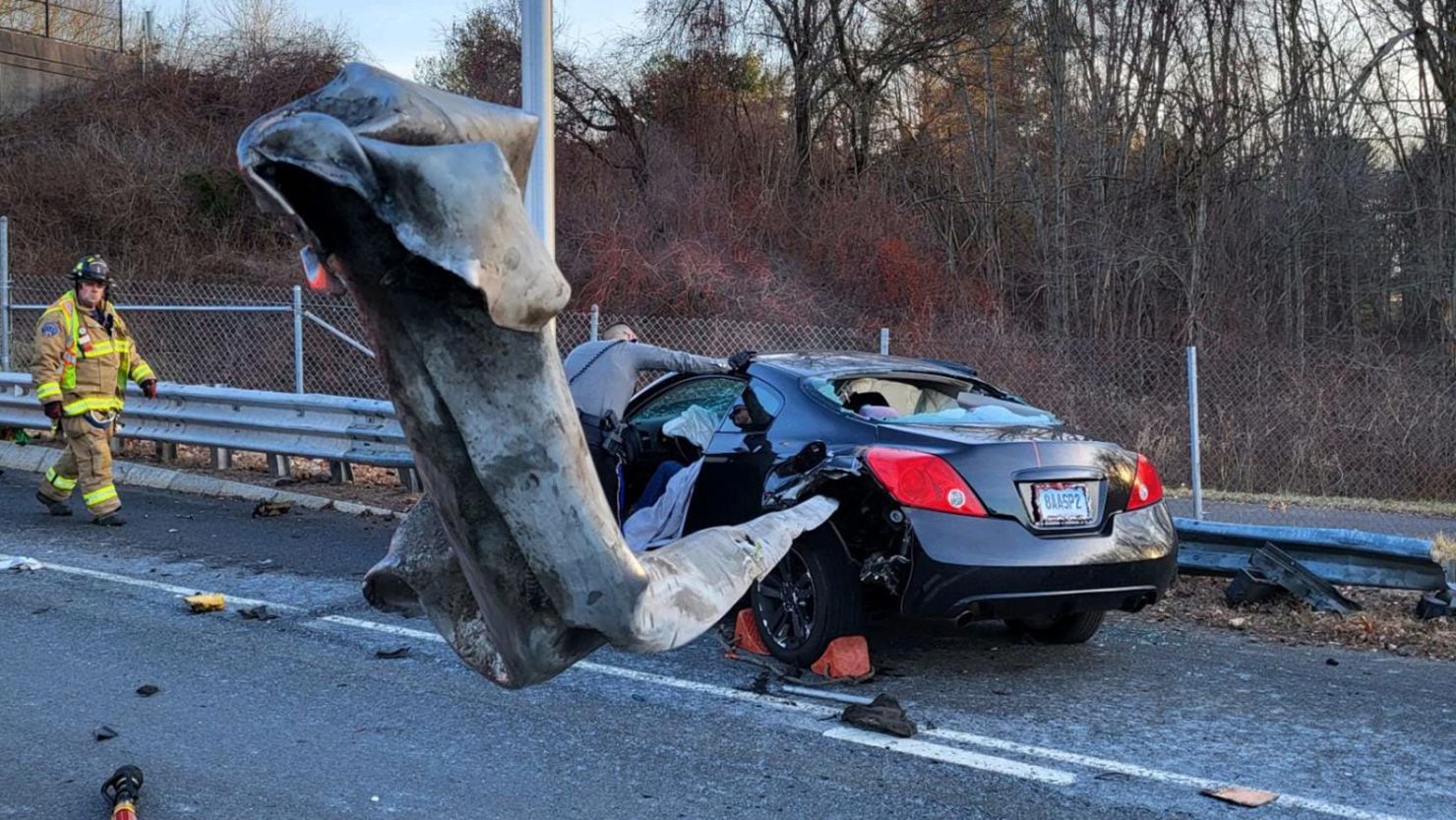
To find information on car crashes today, the most effective methods include checking real-time traffic navigation apps like Google Maps or Waze, monitoring local Department of Transportation (DOT) social media feeds, and visiting 511 traffic portals. For major incidents, local news websites and police scanner apps provide the fastest updates on road closures and emergency responses.
Car accidents are a daily reality on global roadways, often causing significant disruptions to commutes, shipping logistics, and public safety. Whether you are a daily commuter trying to avoid a massive traffic jam, a family member concerned about a traveler, or someone seeking information on a specific local incident, knowing where to look for accurate, real-time data is essential. In 2026, the integration of crowdsourced data, government-monitored sensors, and AI-driven news aggregation has made it easier than ever to pinpoint where and when a crash has occurred.
Digital Tools for Real-Time Accident Tracking
The most immediate way to see if there are any car crashes today is through high-frequency navigation and mapping software. These platforms do not just offer directions; they serve as living maps of human movement and disruption.
Crowdsourced Navigation Apps
Apps like Waze and Google Maps remain the primary sources for incident reporting. Waze, in particular, relies on a "passive-active" feedback loop. When a user stops or slows down significantly, the app notes the change in velocity. If multiple users report an "accident" via the interface, the system validates the claim and pushes a notification to other drivers in the vicinity. By 2026, these systems have become even more granular, often distinguishing between a "minor fender bender on the shoulder" and a "multi-lane blockage."
511 Traffic Systems
Most states and provinces operate a 511 system, accessible via phone or a dedicated website. These systems are managed by the Department of Transportation (DOT) and provide the most "official" word on road conditions. Unlike crowdsourced apps, which might report a "crash" that is actually just a stalled vehicle, 511 systems usually wait for police or DOT highway crews to verify the incident. This makes them slightly slower than Waze but significantly more accurate regarding the expected duration of a closure.
Smart Infrastructure and V2X Communication
In many urban centers in 2026, Vehicle-to-Everything (V2X) communication allows modern cars to broadcast hazard lights or airbag deployment signals directly to local traffic management centers. This means that a crash can be logged into the public record within seconds of it occurring, often before a human even picks up a phone to call emergency services.
Monitoring Official Emergency Channels
When a crash is severe, the information moves from traffic apps to official emergency communication channels. These sources provide details that navigation apps often lack, such as the number of vehicles involved or the severity of injuries.
Local Police and Highway Patrol Feeds
Many law enforcement agencies have moved toward automated transparency. State Highway Patrol agencies often maintain "Current Incident" web pages. These pages list every active call their officers are responding to, categorized by type (e.g., "Property Damage Only" vs. "Injury Accident"). These logs are invaluable for journalists and the public alike because they provide the exact mile marker and dispatch time.
Social Media (X and Neighborhood Apps)
While the landscape of social media has shifted, real-time updates are still most prevalent on platforms that support short-form text and immediate posting. Many local "Traffic and Weather" accounts on X (formerly Twitter) use bots to scrape police dispatch data and post it instantly. Additionally, neighborhood-specific apps like Nextdoor or Ring's Neighbors portal often feature eyewitness accounts and photos of crashes on local residential streets that might not make it onto major highway maps.
Police and Fire Scanners
For those who need the most immediate (though raw and unverified) information, digital scanner apps allow users to listen to emergency radio frequencies. If you hear reports of "Code 3" responses (lights and sirens) or "Life Flight" requests, you are getting information on a car crash today in its most immediate form. However, listeners should exercise caution, as initial radio reports are often corrected as more information becomes available.
The Role of Local News and Media Outlets
Traditional news outlets have adapted to the speed of the internet by providing "Live Traffic" hubs on their websites. These are particularly useful during peak commuting hours.
News Helicopters and Traffic Cameras
Many local TV stations still utilize traffic helicopters or have access to a network of DOT traffic cameras. Viewing a live feed can help you determine the severity of a crash. For instance, seeing "yellow tape" or a "coroner's vehicle" indicates a long-term closure that will likely impact traffic for several hours, whereas seeing a tow truck already on the scene suggests the road may clear soon.
Subscription-Based Alert Services
Some media groups offer SMS or email alerts for "Breaking Traffic." These are filtered to only include major accidents—those that close entire interstates or involve significant public danger. This prevents "notification fatigue" while ensuring you are aware of the "big" crashes occurring today.
Summary of Accident Reporting Sources
The following table compares the most common ways to find information about car crashes today based on speed, accuracy, and detail level.
| Source Type | Speed of Update | Accuracy Level | Detail Provided | Best For |
|---|---|---|---|---|
| Waze / Google Maps | Near-Instant | Moderate | Low (Location only) | Commuters avoiding delays |
| State 511 / DOT | 5–15 Minutes | High | Moderate (Lane status) | Long-distance travelers |
| Police Dispatch Logs | 1–5 Minutes | High | Moderate (Incident type) | Verifying specific events |
| Local News Sites | 10–30 Minutes | Very High | High (Context/Photos) | General public awareness |
| Scanner Apps | Real-Time | Unverified | High (Technical jargon) | Power users/Journalists |
What to Do If You Are Involved in a Crash Today
While most people search for "any car crashes today" to avoid traffic, some are searching because they were just in one and need to know the next steps. In 2026, the procedure for handling a vehicle collision has become increasingly digitized.
- Ensure Immediate Safety: Move to the shoulder if the vehicle is operable. In 2026, "Move It" laws are strictly enforced in many jurisdictions to prevent secondary crashes.
- Activate Digital Emergency Services: Most modern vehicles have an "SOS" button or automatic crash notification. If your vehicle does not, use your smartphone to call emergency services.
- Document the Scene Digitally: Use your phone to take 360-degree video of the vehicles and the surrounding road conditions. Dashcam footage is now a primary piece of evidence used by insurance adjusters.
- Exchange Information via QR or App: Rather than swapping paper notes, many drivers now use insurance apps to exchange digital "cards" via QR codes or Bluetooth proximity.
- File an E-Report: Many police departments no longer dispatch officers to minor "fender benders" with no injuries. Instead, they require drivers to file an electronic report through a municipal portal within 24 hours.
Understanding the Impact of Today’s Crashes
When you see a report of a crash, it is helpful to understand what the specific terminology means for your travel plans.
- Secondary Crashes: These are accidents that happen as a result of the original crash, often caused by "rubbernecking" or sudden braking in the backup. If a major crash is reported, expect the risk of secondary crashes to remain high for at least an hour after the initial incident.
- Hazmat Spills: If a crash involves a commercial truck, check to see if a "Hazmat" (Hazardous Materials) crew has been called. These incidents involve complex cleanups and can keep a road closed for 12 to 24 hours.
- Fatalities and Investigation: If a crash is fatal, the police must conduct a "reconstruction." This process is meticulous and requires the road to be treated as a crime scene, leading to much longer delays than a standard wreck.
Frequently Asked Questions
Why is a crash I see on the road not showing up on my app?
Navigation apps usually require a "quorum" of data. If a crash just happened 30 seconds ago, or if it is on a very low-traffic road where few people are using GPS, the algorithm may not have enough data points to "confirm" the incident and display it to other users.
How can I find out if someone I know was in a crash today?
Privacy laws generally prevent police from releasing names of involved parties immediately. The best way to check is to look at the "Highway Patrol Active Incidents" page for your area. If the location and time match your friend's or family member's route, you may need to call local hospitals or the non-emergency police line for that jurisdiction.
Are there more car crashes today than in previous years?
In 2026, while vehicle safety technology has improved, distracted driving remains a significant factor in daily crash statistics. According to the National Highway Traffic Safety Administration NHTSA, total crash volume fluctuates based on weather patterns and seasonal travel peaks, such as holidays.
Can I get a police report for a crash that happened today?
Usually, no. While the incident is logged today, the official police report often takes 3 to 7 business days to be processed, reviewed by a supervisor, and uploaded to a portal like LexisNexis BuyCrash.
Is it legal to listen to police scanners to find crashes?
In most U.S. jurisdictions, it is legal to listen to police scanners in your home via an app. However, some states have laws against using a scanner while mobile (inside a vehicle) or using the information to assist in committing a crime. Always check local regulations.
Practical Recommendations
If you are looking for "any car crashes today" to plan your day, your best strategy is redundancy. Do not rely on a single app. Open Waze for the most immediate alerts, but cross-reference it with your local DOT 511 website if you see a major "red line" on your map. For those in high-traffic urban areas, following a dedicated local traffic reporter on social media can provide the "why" behind the delay, helping you decide whether to wait it out or find an alternative route entirely.