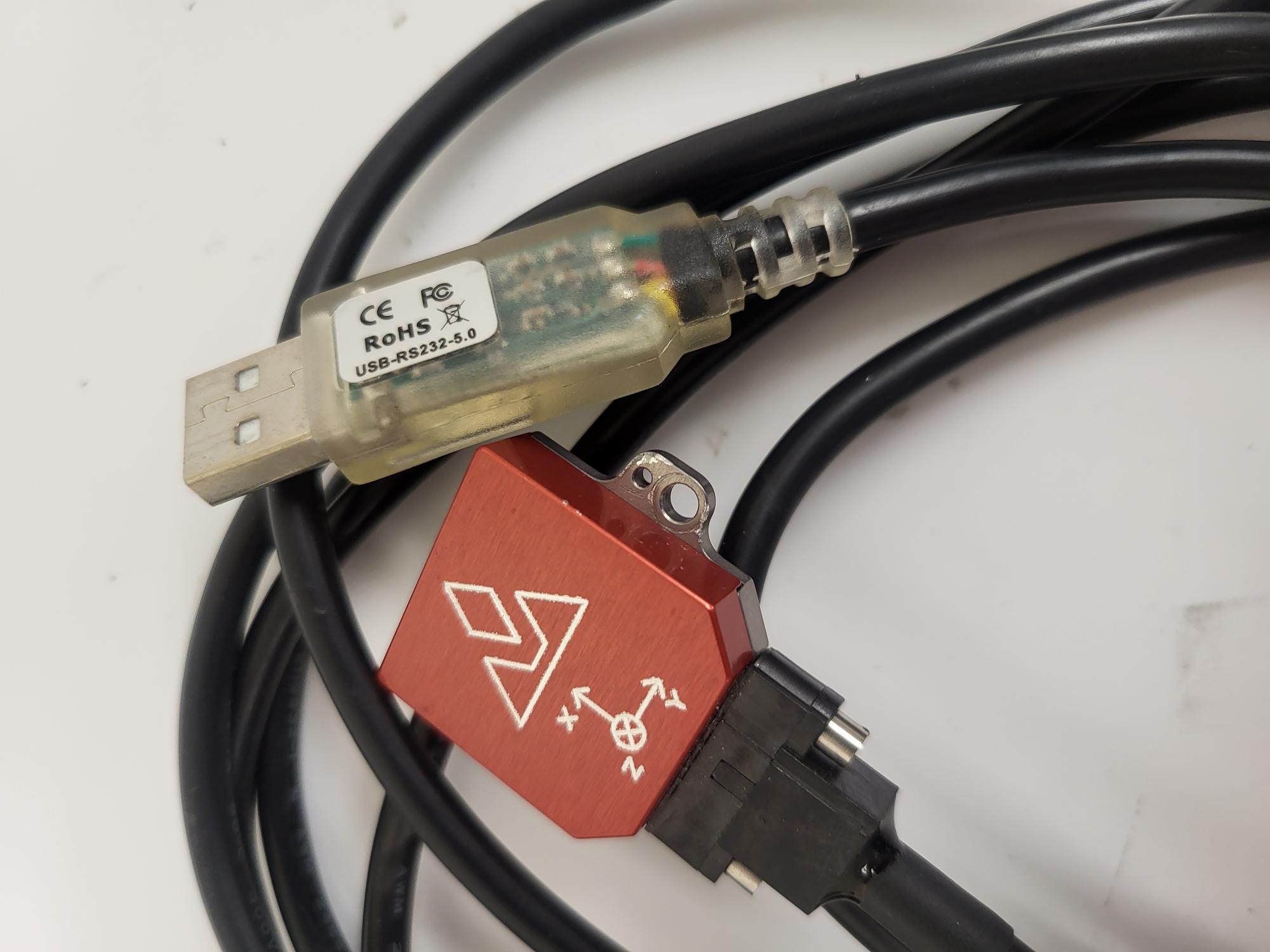
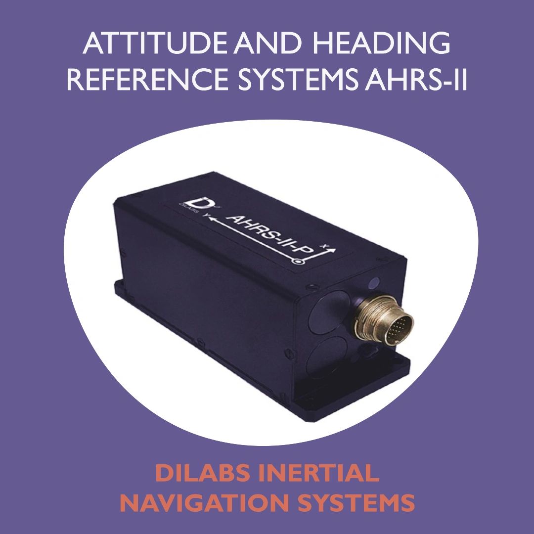
An Attitude and Heading Reference System (AHRS) is a suite of sensors—typically consisting of accelerometers, gyroscopes, and magnetometers—that provide 3D orientation, including pitch, roll, and yaw, for aircraft, marine vessels, and robotic platforms. It replaces traditional mechanical instruments with electronic data processing to enhance navigation precision and situational awareness.
The Foundation of Modern Navigation
In the history of aviation and maritime navigation, maintaining a precise understanding of an object's orientation in three-dimensional space was historically handled by individual mechanical devices. A gyroscope might manage stability, a magnetic compass would provide heading, and an inclinometer would indicate tilt. As digital technology advanced, the industry sought a unified, high-reliability solution that could synthesize these inputs into a single, cohesive data stream. The AHRS represents the culmination of this integration.
At its core, an AHRS is a combination of solid-state sensors. Unlike mechanical gyroscopes that rely on spinning physical masses, modern AHRS units use Micro-Electro-Mechanical Systems (MEMS). These miniaturized components allow for smaller, lighter, and more durable hardware capable of withstanding the vibrations and G-forces encountered during flight or high-speed sea travel.
Core Sensor Components and Their Functions
To understand how an AHRS determines an object's attitude and heading, one must look at the three primary sensor types that constitute the system. Each sensor addresses a specific axis or variable of movement, and their data is processed through algorithms to provide a stable reading.
The Accelerometer (Inclination and Gravity)
Accelerometers measure linear acceleration. In a static position, they detect the gravity vector, which allows the system to determine pitch and roll. By sensing the direction of "down," the AHRS can maintain a horizon reference. However, during high-speed maneuvers, accelerometers can be "fooled" by centrifugal forces or rapid acceleration, which is why they cannot function alone.
The Gyroscope (Angular Velocity)
Gyroscopes measure the rate of rotation around the X, Y, and Z axes. Because they are excellent at sensing rapid, short-term changes in orientation, they provide the dynamic responsiveness needed during turns or turbulence. Their primary limitation is "drift," a phenomenon where small, cumulative errors over time cause the sensor to report a rotation that did not actually occur.
The Magnetometer (Heading)
The magnetometer detects the Earth's magnetic field. This provides the primary reference for heading (yaw). Similar to a digital compass, the magnetometer is essential for long-term heading accuracy, but it is highly susceptible to interference from nearby electrical components or metallic structures.
The Fusion Process: How AHRS Works
An AHRS is more than a collection of sensors; it is the software that "fuses" these data streams. Because accelerometers are stable over time but reactive to movement, and gyroscopes are excellent at tracking movement but prone to long-term drift, the system utilizes a Kalman filter or similar mathematical model to reconcile them.
The algorithm continuously compares the readings from the gyroscopes against the references provided by the accelerometers and magnetometers. If the gyroscope suggests the vehicle is turning, but the magnetometer confirms the heading is steady, the system can determine that the gyroscope is drifting and perform an automatic, real-time correction. This synergy ensures that the user is presented with a smooth, accurate, and reliable representation of their orientation.
AHRS in Practical Applications
The implementation of AHRS is most prevalent in the aviation and maritime sectors, though its use is expanding into autonomous systems and robotics.
Aviation and Glass Cockpits
In modern aviation, AHRS is a cornerstone of the "glass cockpit." It feeds data to the Primary Flight Display (PFD). Pilots rely on the AHRS to maintain orientation in Instrument Meteorological Conditions (IMC), where visual horizon references are lost. Because modern AHRS systems are solid-state, they offer significantly higher mean time between failures (MTBF) compared to the vacuum-driven mechanical instruments of the 20th century.
Marine Navigation
For vessels, AHRS provides stability for radar systems, sonar, and autopilot controls. When a ship encounters heavy swells, the AHRS allows the autopilot to compensate for the vessel's pitch and roll in real-time, maintaining a straighter course and reducing fuel consumption caused by unnecessary steering corrections.
Autonomous Systems and Robotics
Unmanned Aerial Vehicles (UAVs) and ground-based autonomous robots rely on AHRS for the spatial awareness required to navigate complex environments. For a drone, the AHRS is the nervous system that keeps the aircraft level, even in gusty wind conditions, by calculating constant micro-adjustments to motor speeds.
Comparison of Navigation Systems
To better understand the niche of the AHRS, it is useful to compare it against other common orientation-sensing technologies.
| System Type | Primary Sensors | Accuracy | Cost | Best Use Case |
|---|---|---|---|---|
| AHRS | MEMS Gyros, Accel, Mag | High | Moderate | Flight, Marine, Robotics |
| IMU | Gyros, Accelerometers | Varies | Low-High | Raw motion sensing |
| INS | Gyros, Accel + GPS/GNSS | Highest | Very High | Long-range navigation |
An Inertial Navigation System (INS) is effectively an AHRS paired with GPS and specialized navigation software that calculates precise positioning (latitude and longitude). An Inertial Measurement Unit (IMU) is the "raw" hardware without the advanced fusion algorithms that stabilize the data; an AHRS is essentially an IMU with the software intelligence to provide a navigation-ready output.
Troubleshooting Common AHRS Issues
While modern AHRS units are highly reliable, they are not immune to environmental or operational interference. Understanding how to diagnose and address these issues is vital for operators.
Magnetic Interference
A common cause of "heading drift" or erratic behavior is electromagnetic interference. If a magnetometer is placed too close to a high-current cable, a speaker, or a large ferrous metal object, its reading will be skewed. Technicians usually address this by performing a "compass swing" or magnetic calibration, where the vehicle is turned in a circle to map local magnetic disturbances and calibrate them out of the system.
Sensor "Spin-Up" and Calibration
Some AHRS units require a short period of stationary initialization to establish a baseline. If the vehicle is moving or vibrating significantly during this power-up sequence, the internal reference values may be inaccurate. Always follow the manufacturer’s procedures for start-up, ensuring the platform remains as still as possible during the initialization phase.
Vibrational Isolation
High-frequency vibrations can introduce noise into the sensors, potentially causing the AHRS to report incorrect attitudes. Mounting the AHRS on vibration-dampening standoffs or ensuring the chassis of the device is rigidly mounted to the primary frame of the vehicle is essential. If the AHRS is mounted on a flexible panel, it may resonate at frequencies that interfere with the internal MEMS sensors.
Frequently Asked Questions
1. Can an AHRS function without a magnetometer?
Yes, but the system will be unable to determine its absolute heading relative to magnetic north. Without a magnetometer, an AHRS can track changes in heading (yaw) using gyroscopes, but this is subject to significant drift over time. In specialized applications like high-latitude flight where magnetic variation is extreme, the system may rely on GPS-based heading (GPS-aided AHRS).
2. What is the difference between an IMU and an AHRS?
The primary difference lies in the processing. An IMU provides raw sensor data (angular velocity and linear acceleration), which is often noisy and requires external processing to be useful. An AHRS includes the integrated firmware or hardware processing required to fuse that raw data into a stable, calibrated attitude and heading output.
3. How often should an AHRS be calibrated?
Calibration intervals depend on the specific equipment and the environment. Systems installed in aircraft typically undergo an initial calibration during installation and periodic checks during biennial inspections. If the system experiences erratic behavior or if components near the sensors are modified or moved, a recalibration is generally required.
4. Does the AHRS provide position data like GPS?
No. An AHRS is an orientation sensor, not a positioning sensor. It tells you where you are pointing and how you are tilted, but it does not know your coordinates (latitude/longitude) unless it is integrated into a larger system like an Inertial Navigation System (INS) or a GNSS-coupled navigation unit.
5. Why do my attitude readings shift during long turns?
This can be a sign of a "g-loading" error. Even high-quality AHRS units can struggle if they are not correctly compensated for the centripetal forces experienced during coordinated turns. Advanced units use GPS or airspeed data to "nudge" the algorithm and correct for these long-duration maneuvers.
Next Actions and Operational Recommendations
For those operating or maintaining equipment that utilizes an AHRS, the most important action is to ensure firmware updates and documentation are managed according to the manufacturer’s schedule. If you are integrating an AHRS into a new project, prioritize the physical location of the sensor. The unit should be mounted as close to the vehicle's center of gravity as possible and, crucially, as far away from wiring harnesses and moving metallic parts as the platform allows.
When verifying performance, conduct a controlled test in a low-interference environment. Use an external reference (such as a known heading or a level horizon) to confirm that the displayed data matches reality. For safety-critical applications, always ensure that a secondary or redundant navigation method is available to cross-reference the AHRS data, as reliance on a single source of truth is a recognized risk in both aviation and maritime operations.