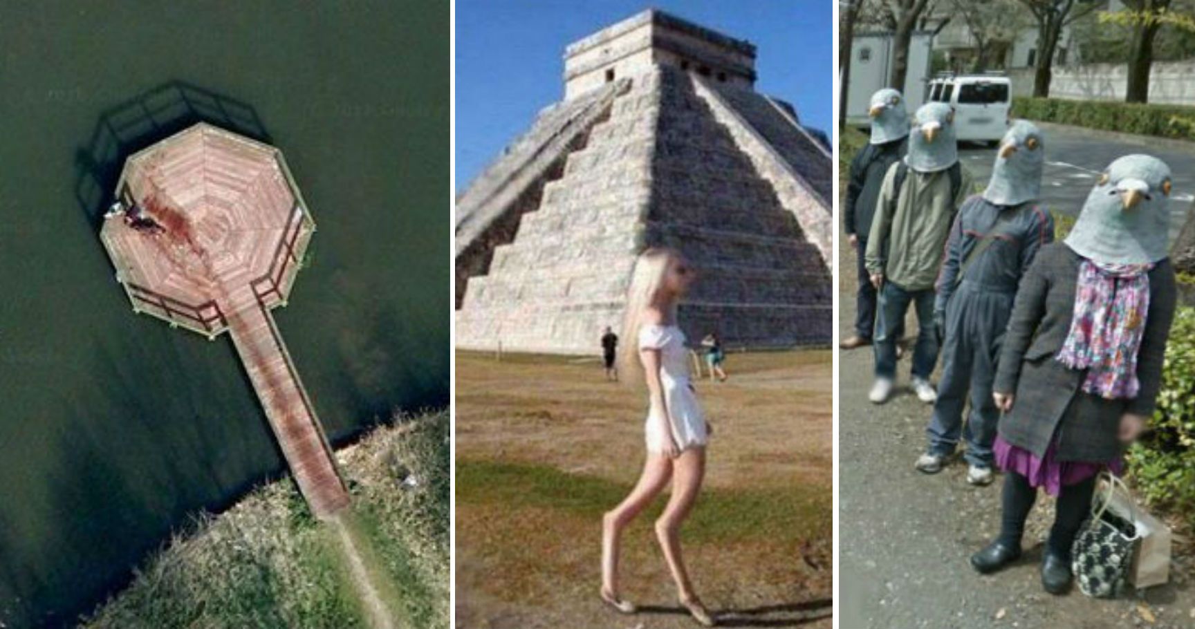
Google Earth serves as a vast, digital map of our planet, capturing high-resolution satellite imagery, aerial photography, and street-level views. Beyond its utility for navigation and geographic study, it functions as a global gallery of unintentional humor, architectural anomalies, and massive, land-based art projects. Users can explore these coordinate-based phenomena by entering specific latitude and longitude data into the search bar.
The following list identifies ten noteworthy, lighthearted sights captured by satellite sensors and ground-level vehicles, along with the necessary context for locating them effectively.
1. The Badlands Guardian, Alberta, Canada
Located in the remote landscape of southeastern Alberta, this naturally occurring geological formation is often cited as one of the most remarkable examples of pareidolia—the psychological tendency to perceive meaningful images in random patterns. Viewed from directly above, the erosion of the soft clay landscape creates the distinct appearance of a human head wearing a traditional Indigenous headdress.
While the "head" is a product of wind and water erosion over centuries, the image is accentuated by the presence of a man-made road and oil well structure that appears to form an earbud, adding a modern, humorous twist to an ancient landform. To view this, input the coordinates 50°00′38″N 110°06′48″W into Google Earth.
2. The "Fingerprint" Maze at Hancock Park, UK
In the United Kingdom, specifically within Hancock Park, lies a large, permanent maze designed in the shape of a massive human fingerprint. Unlike traditional hedge mazes, this is a distinct land-art installation. It highlights how landscape architects utilize public space to create interactive, scale-dependent art that is often only fully appreciable from an aerial perspective. Users can experiment with the "Tilt" and "Rotate" features in the Google Earth desktop interface to get a better sense of the maze’s geometric complexity.
3. The World’s Largest Swimming Pool, San Alfonso del Mar
Located in Algarrobo, Chile, this lagoon is officially recognized for its immense scale, stretching over one kilometer in length. From a satellite view, its bright, turquoise color contrasts sharply with the surrounding dark blue of the Pacific Ocean. It provides a humorous sense of scale when compared to the nearby resort buildings. The pool holds 250 million liters of seawater and serves as a classic example of how satellite imagery can capture engineering feats that are difficult to visualize from the ground level.
4. The Giant Pink Bunny, Italy
In the mountains of northern Italy, an art collective known as Gelitin installed a massive, 200-foot-long stuffed pink rabbit on the side of a hill. The installation, titled "Hase" (German for hare), was designed to slowly decompose over several years, inviting hikers to climb on it. Satellite imagery captured the rabbit in its prime, where it appears as a surreal, bright-pink smudge against the green Alpine backdrop. It remains a fan favorite for those exploring high-altitude anomalies.
5. The "Boneyard" at Davis-Monthan Air Force Base
The 309th Aerospace Maintenance and Regeneration Group (AMARG) in Tucson, Arizona, is home to thousands of retired military aircraft. From the air, the sheer density of planes—arranged in precise, grid-like rows—looks like a giant, discarded toy collection. It is a visually arresting sight that puts the scale of military logistics into perspective. Users can navigate the grid to see different types of aircraft, ranging from Cold War-era bombers to more modern transport jets.
6. The Heart-Shaped Island, Galesnjak, Croatia
Known as the "Island of Love," Galesnjak is a naturally formed, heart-shaped islet in the Adriatic Sea. While there are many heart-shaped formations in nature, this one is remarkably symmetrical. It has become a global sensation for romantic travel, but from the perspective of a satellite, it offers a stark, clean geometry that feels almost intentionally designed. Its appearance remains consistent across various historical imagery layers available in the Google Earth "Time Lapse" feature.
7. The Desert Breath, Egypt
Located in the Egyptian desert near the Red Sea, "Desert Breath" is a massive land-art installation consisting of two interlocking spirals—one formed by conical mounds of sand and the other by depressions. Covering approximately 100,000 square meters, the piece is designed to erode over time. It is a fascinating study in how art interacts with the desert environment, and its intricate, mandala-like pattern is best viewed from a high altitude.
8. The "Big Chair," Italy
In the town of Manzano, Italy, known for its chair-manufacturing industry, sits a giant wooden chair sculpture. It is a whimsical sight that plays with perspective; when viewed from street level using Google Street View, it towers over the surrounding buildings and parked cars. It represents a local effort to blend cultural identity with public art, effectively using scale to demand the attention of satellite sensors and passing motorists alike.
9. The Shipwreck of SS Ayrfield, Sydney, Australia
Sitting in Homebush Bay, the SS Ayrfield is a decommissioned cargo ship that has been repurposed by nature into a floating forest. The vessel is rusted and overgrown with mangroves, creating a strange, post-apocalyptic aesthetic in the middle of a modern city. Satellite views capture the contrast between the industrial rust of the hull and the vibrant green of the vegetation growing from the deck, providing a compelling visual of nature reclaiming man-made structures.
10. The Land-Based "Logo" of Firefox
In 2006, the Oregon State University Linux Users Group created a massive representation of the Mozilla Firefox logo in a cornfield. While many similar "crop circles" or marketing stunts have faded, the original satellite capture of this event remains a piece of internet history. It serves as a humorous reminder of the early days of web culture, when digital communities sought to leave physical marks on the landscape that could only be verified through early satellite mapping services.
Technical Considerations for Viewing
To get the best experience when searching for these locations, follow these operational best practices:
- Layer Activation: Ensure the "Satellite" and "3D Buildings" layers are enabled in your Google Earth settings.
- Coordinate Input: Google Earth accepts various formats. Use decimal degrees (e.g., 50.010, -110.113) or degrees, minutes, and seconds (e.g., 50°00'38"N 110°06'48"W) for precision.
- Time-Lapse Controls: Use the historical imagery slider (on desktop) to see if these objects have changed, disappeared, or been updated over the years.
- Street View Integration: For ground-level sights, drag the yellow "Pegman" icon to blue-highlighted paths to transition from satellite view to 360-degree photography.
Comparison of Viewing Methods
| Feature | Satellite View | Street View |
|---|---|---|
| Perspective | Top-down (nadir) or Oblique | Eye-level (360-degree) |
| Best For | Large land-art, geological features | Local sculptures, buildings, signage |
| Detail Level | Macro (Regional/City) | Micro (Street/Vehicle) |
| Resolution | Zoom-dependent (Satellite) | Camera-dependent (Vehicle) |
Frequently Asked Questions
How do I search for coordinates in Google Earth? Type the latitude and longitude directly into the search bar at the top of the interface. The application will automatically fly to the location once you press enter. Ensure you include the "N/S" and "E/W" indicators or use negative signs for South and West to ensure accuracy.
Why are some images blurry or low quality? Imagery quality depends on the date of the last flyover by commercial satellites. Areas of high interest or population density are updated more frequently than remote, unpopulated regions. If an image is blurry, it is often due to cloud cover or the age of the captured data.
Are these funny things "real" or digitally edited? The sights listed above are physical objects existing in the real world. Google Earth acts as a catalog of these captures. While Google blurs certain sensitive sites for security reasons, the funny anomalies are generally the result of intentional art, natural erosion, or industrial placement that happens to look unusual from a bird's-eye view.
Can I save these locations for later? Yes, use the "Projects" feature or the "Bookmarks" tool to save your favorite coordinates. You can export these as KML files if you wish to share them or import them into other mapping software.
Is there a cost to using these features? Google Earth is free for individual, personal use. No subscription is required to access the standard satellite imagery or to search for coordinates.
Recommended Next Action
Start your exploration by locating the Badlands Guardian. It is one of the most reliable and distinct examples of satellite-view pareidolia. Once you have practiced navigating to that coordinate, attempt to use the "Time Lapse" tool to see how the local terrain has shifted over the last decade. This will provide a foundational understanding of how satellite imagery is aggregated and presented to the end user.