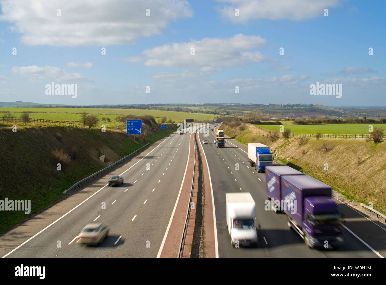
The M4 corridor is a vital economic artery connecting London to South Wales, but it suffers from severe congestion, frequent bottlenecks, and outdated infrastructure around key urban hubs like Bristol, Newport, and Cardiff. These daily gridlocks cause significant economic delays, environmental concerns, and safety challenges for millions of commuters.
Introduction to the M4 Corridor and Its Economic Importance
The M4 motorway serves as one of the most critical strategic transport routes in the United Kingdom. Spanning approximately 189 miles, it links London with the west of England and South Wales, passing major economic powerhouses such as Slough, Reading, Swindon, Bristol, Newport, Cardiff, and Swansea. Because it underpins logistics, manufacturing, technology sectors, and professional services across the Thames Valley and the Severn Estuary, the corridor is often referred to as Britain's Silicon Valley and a primary trade gateway.
However, this immense economic utility comes with a heavy toll. The route experiences extraordinary traffic volumes daily, serving a dual purpose as both a long-distance freight and passenger corridor and an essential local commuter network. As regional populations have grown and commercial logistics have expanded, the physical infrastructure has increasingly struggled to keep pace. Understanding the traffic problems on the M4 corridor requires looking closely at how volume, geography, historical design, and modern commuting patterns interact to create systemic delays.
Historical Context and Infrastructure Evolution
The construction of the M4 began in the late 1950s, with various sections opening incrementally through the 1960s, 1970s, and 1980s. The crowning engineering achievement of the era, the original Severn Bridge, opened in 1966, followed by the Second Severn Crossing (now officially renamed the Prince of Wales Bridge) in 1996. While these river crossings unlocked cross-border trade between England and Wales, the approaches and connecting motorway segments were engineered to design standards that anticipated a fraction of contemporary vehicle volumes.
Over the decades, piecemeal upgrades have been implemented to alleviate growing pressures. These include the addition of lanes, the introduction of variable speed limits, and the conversion of hard shoulders into active running lanes under the guise of "Smart Motorway" schemes. Despite these interventions, the fundamental layout of the corridor features older interchanges, tight merging angles, and steep gradients—particularly climbing out of the Severn Tunnel basins and through the rolling hills of Wiltshire and Berkshire—which naturally restrict vehicle throughput and trigger sudden braking waves.
Key Bottlenecks and Geographic Hotspots
Traffic problems along the M4 are not distributed evenly; they concentrate heavily around major urban confluences and river crossings. Commuters and freight operators regularly encounter severe delays at specific, well-documented pinch points along the route.
The Greater London and Thames Valley Stretch (Junctions 3 to 12)
As the motorway approaches London, the transition from rural or semi-urban driving to heavy suburban traffic creates chronic morning and evening rush-hour delays. Junctions near Heathrow Airport (Junction 4) and the intersection with the M25 at Junction 4B experience immense merging friction. Further west, through Slough, Maidenhead, and Reading (Junctions 6 to 11), rapid local housing and commercial developments have generated heavy localized traffic that spills directly onto the mainline, overwhelming slip roads and causing tailbacks that stretch for miles.
The Bristol and Severn Estuary Crossing (Junctions 19 to 23)
The Bristol area is arguably the most congested section of the entire western corridor. At Junction 19, the M4 intersects with the M32, funneling traffic directly into central Bristol. Just west of this lies the Almondsbury Interchange (Junction 20), where the M4 meets the M5—one of the busiest and most complex stacking interchanges in the UK. Heavy freight and commuter traffic shifting between the north-south M5 and the east-west M4 frequently gridlocks this multi-tiered junction, with knock-on effects stretching across the Prince of Wales Bridge.
South Wales Approaches (Junctions 24 to 29)
Entering Wales, the stretch around Newport (Junctions 24 to 28) has historically been one of the most notorious bottlenecks on the network. The Brynglas Tunnels, where the motorway narrows to two lanes in each direction through a tight cutting, create an immediate capacity restriction. Because local topography prevents easy widening without extensive demolition, any minor incident inside or near the tunnels brings traffic to a complete standstill, isolating Cardiff and West Wales from the English border.
Causes of Chronic Congestion on the M4
The bottlenecks on the M4 are driven by a combination of physical, behavioral, and operational factors. Pinpointing these causes clarifies why simple solutions like adding an extra lane often fail to resolve systemic delays.
- Commuter and Freight Saturation: The M4 accommodates a high proportion of heavy goods vehicles (HGVs) carrying freight between major ports, distribution hubs, and industrial centers. When freight volumes peak alongside local commuter traffic, overall speeds drop significantly.
- Weaving and Merging Friction: Many older junctions feature short slip roads that do not provide adequate distance for vehicles to match motorway speeds. This forces mainline traffic to brake abruptly to let merging vehicles in, initiating shockwave traffic jams.
- Incident Management and Secondary Delays: Because traffic flows near or above capacity for long stretches of the day, any breakdown, debris, or minor collision immediately halts traffic. Secondary delays often persist for hours after the initial obstruction has been cleared.
- Weather and Topography: Steep gradients, such as those approaching the Severn crossings or cutting through Welsh valleys, slow down heavily laden trucks. Coupled with adverse weather conditions like high winds on elevated viaducts and heavy rain, these topographical challenges force speed restrictions and reduce capacity.
| Location / Section | Primary Bottleneck Cause | Typical Impact | Mitigation Status |
|---|---|---|---|
| Junctions 4B – 5 (Thames Valley) | High volume of airport and commuter traffic; short merging distances. | Slow-moving queues during peak morning hours. | Variable speed limits and digital signaling. |
| Junctions 19 – 20 (Almondsbury) | Multi-motorway convergence (M4/M5); heavy weaving maneuvers. | Severe daytime gridlock and tailbacks onto the M32. | Ongoing lane management and signage updates. |
| Junctions 25 – 27 (Newport / Brynglas) | Lane reduction from three to two lanes inside tunnels; restricted footprint. | Chronic daily bottlenecks and complete standstill during incidents. | Active traffic management; proposals for relief roads reviewed and shelved over time. |
Environmental and Economic Consequences
The traffic problems on the M4 corridor extend far beyond motorist frustration, exacting a heavy toll on the regional and national economy, public health, and environmental sustainability.
Economically, unreliable journey times disrupt supply chains, penalize logistics companies, and deter businesses from locating along the corridor. Time lost in traffic represents billions of pounds in diminished productivity annually. For individual commuters, chronic congestion increases stress, reduces free time, and imposes financial costs through excess fuel consumption and vehicle wear.
From an environmental perspective, stop-start driving significantly increases carbon emissions, nitrogen dioxide ($NO_2$), and particulate matter. Urban stretches passing close to residential areas in Slough, Bristol, and Newport frequently breach air quality standards, prompting local authorities to implement strict low-emission zones, advisory speed limits, or localized monitoring. Balancing economic mobility with net-zero carbon targets remains one of the central dilemmas for transport planners managing the corridor.
Technological and Policy Responses
Over the years, transport authorities—including National Highways in England and the Welsh Government—have deployed various strategies to manage traffic flows and mitigate gridlock without resorting to multi-billion-pound civil engineering projects.
Smart Motorway Technologies
The deployment of Smart Motorway technology across substantial sections of the English M4 aimed to smooth traffic flow through dynamic speed limits, mandatory lane closure indicators, and the use of the hard shoulder as a running lane during peak periods. However, these systems have faced intense public and political scrutiny regarding safety, particularly concerning the frequency and visibility of emergency refuge areas for stranded motorists. Consequently, rollout strategies have faced reassessment, with increased emphasis on retrofitting additional refuge areas and improving radar-based stationary vehicle detection.
Public Transport Alternatives and Modal Shifts
Recognizing that building more road capacity is environmentally and financially unsustainable, regional bodies have increasingly focused on shifting commuters away from private cars. Upgrades to the Great Western Main Line, including full electrification and the introduction of modern Intercity Express Trains, have enhanced rail capacity between South Wales, Bristol, and London Paddington. Additionally, the development of regional metro systems, park-and-ride facilities, and integrated ticketing aims to make rail and bus travel a viable, stress-free alternative to driving along the congested corridor.
Frequently Asked Questions
What are the main causes of traffic delays on the M4 corridor?
Delays are primarily caused by a mismatch between high traffic volumes—combining long-distance freight and local commuters—and legacy infrastructure limitations such as short slip roads, steep gradients, and bottlenecks like the Brynglas Tunnels in Newport and the Almondsbury Interchange near Bristol.
How do Smart Motorways affect M4 traffic management?
Smart Motorways use variable speed limits and active lane management to smooth traffic flows and maximize capacity by utilizing hard shoulders during peak hours. While they can improve throughput when operating smoothly, they also introduce risks and public concern regarding breakdown safety when drivers cannot reach an emergency refuge area.
Why was the M4 Relief Road project around Newport cancelled?
The Welsh Government cancelled the proposed M4 Relief Road south of Newport in 2019, primarily due to soaring financial costs estimated in the billions, significant environmental damage to the Gwent Levels wildlife habitats, and a policy shift favoring public transport investment over new road construction.
What alternative transport options exist along the M4 corridor?
Travelers can utilize the Great Western Main Line rail services, which provide frequent high-speed connections between South Wales, Bristol, Reading, and London. Numerous local bus routes, park-and-ride facilities, and expanding cycling networks also support regional commuting alternatives.
How does freight transport impact M4 congestion?
Heavy goods vehicles constitute a significant percentage of M4 traffic, particularly carrying freight from Welsh ports and manufacturing centers toward London and the Midlands. Because trucks accelerate slowly and require larger following distances, they exacerbate congestion, especially on inclines and around busy junctions.
Conclusion and Strategic Outlook
Traffic problems on the M4 corridor represent a complex, multi-faceted challenge rooted in historical design, surging demand, and difficult geographical constraints. While major capital projects like new relief roads face political, financial, and environmental hurdles, future management will likely rely on a balanced mix of digital traffic optimization, enhanced public transport alternatives, and targeted infrastructure improvements. For commuters and freight operators navigating the route, understanding these structural bottlenecks remains essential for planning journeys and mitigating the daily impacts of congestion.