Atlanta’s urban transit and infrastructure in 2026 are defined by the integration of the BeltLine’s expanding loop, the operational success of the city’s first Bus Rapid Transit (BRT) lines, and massive highway interchange reconstructions. These projects prioritize multimodal connectivity, aiming to reduce historic reliance on single-occupancy vehicles while fostering transit-oriented development across the metro region.
As of 2026, the City of Atlanta and the surrounding metropolitan area find themselves at a critical juncture in their infrastructural evolution. Historically characterized by suburban sprawl and a heavy dependence on the interstate system, Atlanta is now deep into the execution phase of several multi-decade projects. These initiatives, funded by a combination of the "More MARTA" sales tax, federal infrastructure grants, and public-private partnerships, are fundamentally altering how residents move between the urban core and the sprawling suburbs. This comprehensive guide examines the current status of Atlanta's transit connections, the technical specifications of ongoing infrastructure projects, and the long-term impact on the city’s economic and social landscape.
The Atlanta BeltLine: Moving Toward Completion
The Atlanta BeltLine remains the most transformative urban infrastructure project in the city's history. By 2026, the vision of a 22-mile continuous loop of multi-use trails and future light rail has moved from conceptual stages into advanced construction across nearly all segments.
Southside and Northeast Trail Progress
In 2026, the Southside Trail represents the most significant "missing link" currently being addressed. Several segments have now been paved, connecting the Westside Trail to the vibrant Eastside Trail. The technical challenge of the Southside Trail has always been the remediation of former industrial sites and the reconstruction of aging bridge infrastructure over active freight rail lines and city streets. These bridges are designed to support both the current pedestrian traffic and the weight requirements for future light rail transit (LRT).
The Northeast Trail has also seen major milestones. With segments connecting the northern tip of the Eastside Trail toward Lindbergh and the Armour Yards district, the BeltLine is effectively linking major employment hubs with residential neighborhoods. This connectivity is vital for the "last-mile" problem, allowing commuters to use the BeltLine as a legitimate transit artery rather than just a recreational park.
The Streetcar East Extension
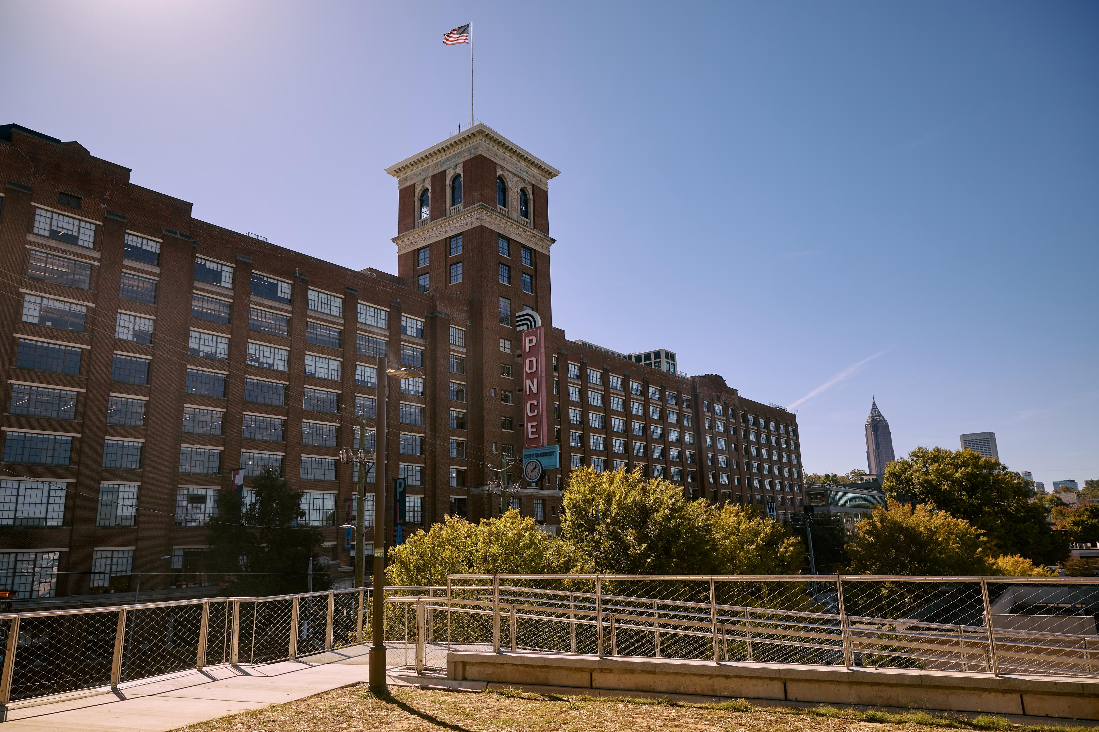
A pivotal development in 2026 is the progress on the Streetcar East Extension. This project connects the existing Downtown Streetcar loop to the BeltLine at Irwin Street, extending transit north toward Ponce City Market. This project serves as a "proof of concept" for rail on the BeltLine. It utilizes a dedicated right-of-way to avoid the traffic congestion that plagued the original downtown loop, aiming for higher frequency and reliability.
MARTA’s Evolution: Heavy Rail, BRT, and ART
The Metropolitan Atlanta Rapid Transit Authority (MARTA) is currently overseeing its most aggressive expansion since the 1990s. The focus in 2026 has shifted slightly from expensive heavy rail extensions to more flexible and cost-effective Bus Rapid Transit (BRT) and Arterial Rapid Transit (ART) systems.
The Summerhill BRT (Rapid Summerhill)
Operational as of early 2026, the Summerhill BRT line is Atlanta’s first true BRT system. Running from the Georgia State MARTA Station through the Summerhill neighborhood and down to the Atlanta BeltLine Southside Trail, it features:
- Dedicated Lanes: Nearly 85% of the route uses bus-only lanes to bypass traffic.
- Level Boarding: Stations are designed with platforms at the same height as the bus floor for faster boarding and ADA compliance.
- Off-Board Fare Collection: Passengers pay at the station, reducing "dwell time" at stops.
- Transit Signal Priority (TSP): The buses communicate with traffic signals to extend green lights or shorten red lights.
Five Points Station Transformation
As the hub of the heavy rail system, Five Points Station is undergoing a massive multi-year renovation that is a focal point of 2026 infrastructure news. The project involves removing the aging concrete canopy to allow for a more open, light-filled environment and better street-level integration. This is not merely an aesthetic update; it is a structural overhaul designed to improve the flow of thousands of daily transfers between the North-South and East-West rail lines.
Clayton County and Northside Expansion
In Clayton County, 2026 marks significant engineering progress for the proposed BRT lines that will connect the Justice Center in Jonesboro to the College Park MARTA station. While heavy rail to Clayton remains a long-term goal, the immediate priority is providing high-frequency, reliable bus service to an underserved segment of the metro population.
Capping the Highways: The Stitch and Northside Drive
One of the most innovative trends in Atlanta's 2026 infrastructure landscape is "highway capping"—building park space and transit connections over existing interstates to reconnect neighborhoods severed by the construction of the highway system in the mid-20th century.
The Stitch
The Stitch is a proposed 14-acre green space and real estate development over a 3/4-mile stretch of the I-75/I-85 Downtown Connector. In 2026, Phase 1 has secured significant federal funding and entered final design stages. The project aims to reconnect Downtown and Midtown Atlanta, creating a seamless urban fabric. Technically, this requires massive engineering feats to ensure the "cap" can support the weight of buildings and trees while maintaining the structural integrity and ventilation requirements of the interstate below.
Northside Drive Improvements
GDOT (Georgia Department of Transportation) and the City of Atlanta are working on Northside Drive to transform it from a high-speed arterial into a "complete street." By 2026, portions of Northside Drive near the Westside Park and the Microsoft quarry development have been upgraded with wider sidewalks, dedicated turn lanes, and improved lighting, facilitating better connection between the Westside and the Georgia Institute of Technology.
GDOT and Major Roadway Interchanges
While transit is the headline, road infrastructure remains critical for the movement of freight and regional commuters. GDOT’s 2026 agenda is dominated by the "Major Mobility Investment Program" (MMIP).
I-285/I-20 West Interchange
The reconstruction of the I-285 and I-20 West interchange is a primary focus in 2026. This project aims to remove "bottleneck" points where heavy freight traffic from the Port of Savannah meets regional commuters. The redesign includes:
- Enhanced Ramps: Eliminating left-hand exits and improving merge distances.
- Collector-Distributor Lanes: Separating local traffic from through-traffic to reduce weaving maneuvers.
- Bridge Replacement: Several aging overpasses are being replaced to meet modern seismic and weight standards.
Managed Lanes on SR 400
The SR 400 Express Lanes project is nearing a major construction milestone in 2026. These "managed lanes" utilize dynamic pricing to ensure a consistent speed for transit vehicles and carpoolers. Crucially, MARTA is collaborating with GDOT to ensure these lanes can support future BRT service, providing a rapid transit option from the northern suburbs of Alpharetta and Roswell into the MARTA heavy rail system at North Springs.
Hartsfield-Jackson: The World’s Busiest Airport in 2026
Hartsfield-Jackson Atlanta International Airport (ATL) continues its "ATLNext" modernization program. In 2026, the focus has shifted toward the expansion of the Plane Train and the modernization of Concourse D.
- Plane Train Extension: To keep up with passenger volume, the underground automated people mover (APM) is being extended beyond Concourse T to provide a more efficient turnaround, increasing the frequency of trains.
- Concourse D Widening: One of the most technically difficult projects involves widening the airport's narrowest concourse while it remains operational. This increases the square footage for passenger seating and retail, essential for maintaining the airport's status as a premier global hub.
Comparison of Atlanta’s Major Transit Modalities (2026)
| Mode | Key 2026 Project | Primary Goal | Status |
|---|---|---|---|
| Heavy Rail | Five Points Station Renovation | Modernization and Transfer Efficiency | Under Construction |
| Bus Rapid Transit (BRT) | Summerhill Line | First-of-its-kind high-speed bus corridor | Fully Operational |
| Multi-use Trail | BeltLine Southside Trail | Connecting East and West loops | Paving in Progress |
| Light Rail/Streetcar | Streetcar East Extension | Connecting Downtown to BeltLine/Midtown | Final Design/Early Utilities |
| Managed Lanes | SR 400 Express Lanes | Relieving North-Metro congestion | Major Construction |
| Highway Cap | The Stitch | Reconnecting Downtown and Midtown | Phase 1 Engineering |
Funding and Economic Impact
The infrastructure boom of 2026 is fueled by the 2016 "More MARTA" half-penny sales tax, which is expected to generate billions over 40 years. However, inflation and rising construction costs have forced the city to prioritize certain projects over others.
Transit-Oriented Development (TOD)
The "Atlanta Connections" are not just about transport; they are about real estate. Along the MARTA rail lines and the BeltLine, TOD has become the standard. In 2026, we see a proliferation of high-density, mixed-income housing at stations like Edgewood/Candler Park and Avondale. These developments reduce the need for cars by providing residents with direct access to transit, groceries, and services within a five-minute walk.
Equity and Inclusion
A major point of discussion in 2026 is ensuring that these infrastructure investments do not displace long-term residents. The City of Atlanta has implemented several "anti-displacement" programs, such as property tax freezes for legacy residents near the BeltLine and requirements for affordable housing units in all new TOD projects. The success of these connections is increasingly measured not just by "time saved" but by the "diversity of ridership."
Frequently Asked Questions
1. When will the full 22-mile BeltLine loop be completed?
The current goal for the full completion of the paved 22-mile loop is 2030. However, by 2026, approximately 80% of the trail is either completed or under active construction. The final segments involve complex negotiations with active freight railroads on the Northwest side of the city.
2. Is MARTA rail expanding to Gwinnett or Cobb County in 2026?
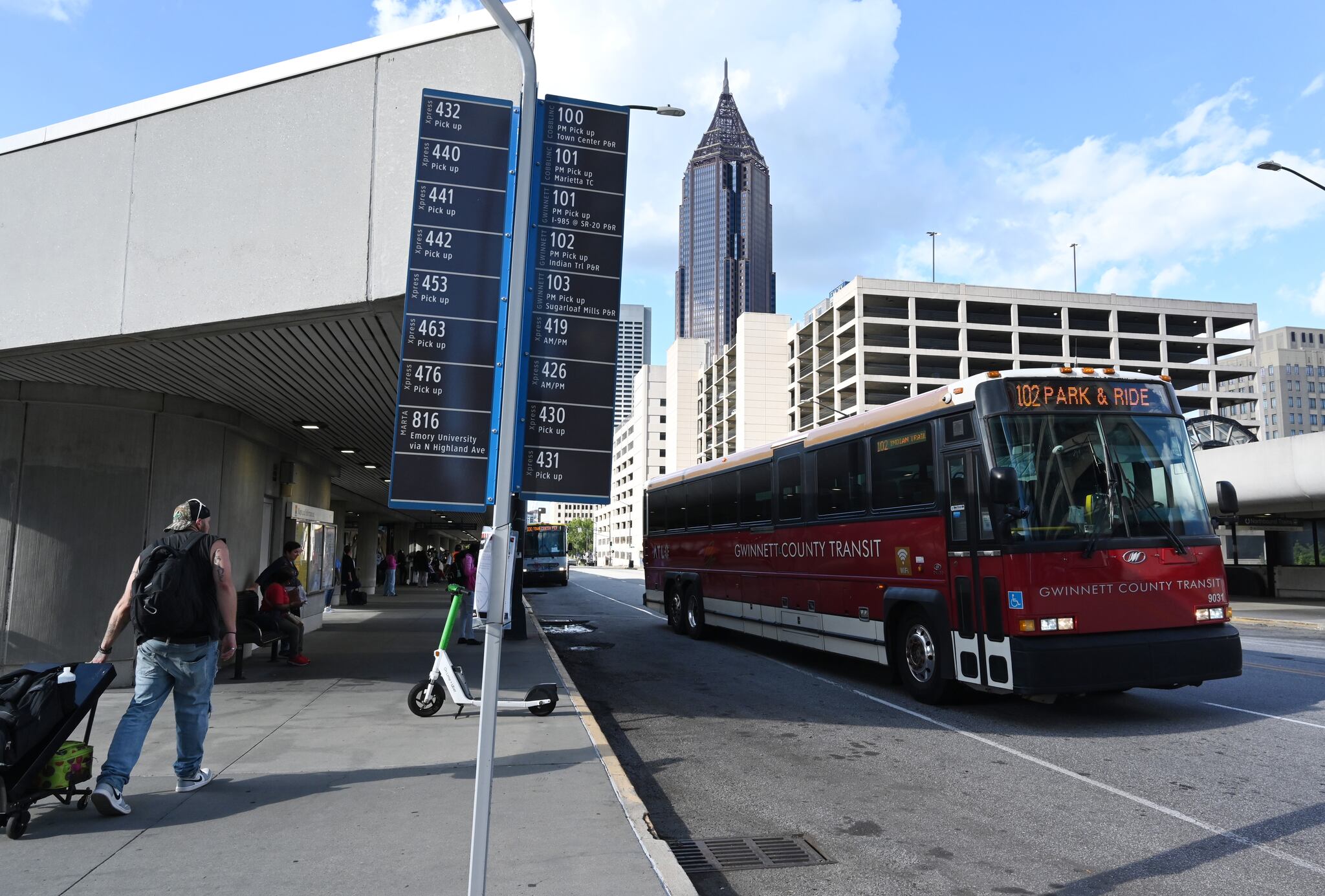
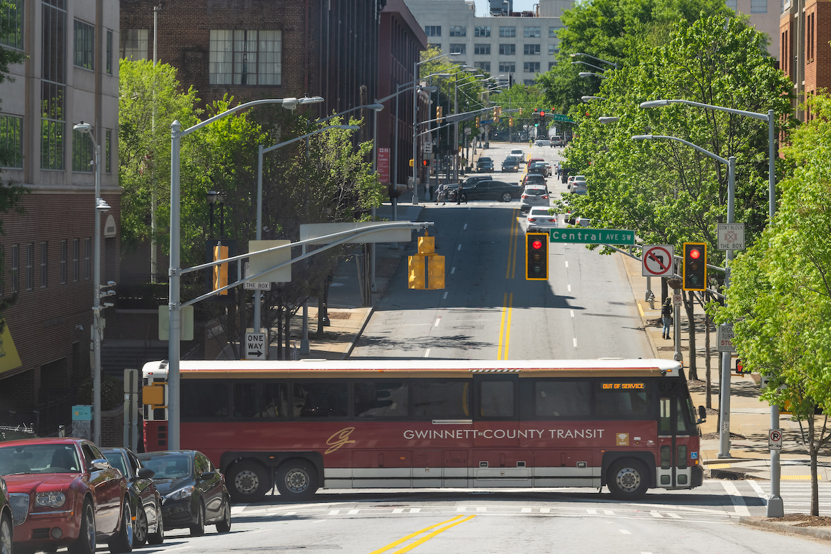
As of 2026, there are no active heavy rail construction projects extending into Gwinnett or Cobb Counties. Instead, the focus has shifted to "regional BRT," where MARTA and the regional transit authority (ATL) are developing high-speed bus connections that use the interstate managed lanes to provide rail-like service without the immense cost of laying new track.
3. What is the status of "The Stitch" in 2026?
The Stitch has moved out of the purely conceptual phase. In 2026, the project has received significant federal "Reconnecting Communities" grants. Preliminary utility work and detailed structural engineering for the first four-acre section near the Civic Center MARTA station are currently the primary focus.
4. How does the Summerhill BRT differ from a regular MARTA bus?
Unlike a standard bus, the Summerhill BRT operates in its own dedicated lane for most of the route, meaning it does not get stuck in traffic. It also uses "green light" technology to keep moving through intersections and features specialized stations with level boarding, making it significantly faster and more reliable than a traditional bus line.
5. Are there plans for high-speed rail connecting Atlanta to other cities?
In 2026, the discussion around high-speed rail (HSR) is centered on the Atlanta-to-Charlotte corridor. While ground has not been broken, the corridor has completed several rounds of environmental impact studies. Meanwhile, Amtrak is working on increasing frequencies for the Crescent line, which passes through Atlanta, as part of a broader federal push for expanded passenger rail.
Practical Recommendations for Navigating Atlanta in 2026
For residents and visitors looking to utilize Atlanta’s evolving infrastructure, the following actions are recommended:
- Download the Integrated Transit App: By 2026, MARTA and regional partners have a unified app that combines rail, bus, and BeltLine micro-mobility (scooters/bikes) into a single payment interface.
- Utilize the Summerhill BRT: If traveling between Downtown and the Southside, the BRT is now faster than driving during peak rush hours (8:00 AM – 10:00 AM and 4:00 PM – 6:00 PM).
- Check the GDOT 511 App for Interchange Closures: With the I-285/I-20 West project in full swing, weekend closures are frequent. Always verify your route before heading to the west side of the perimeter.
- Explore Transit-Oriented Hubs: Instead of parking in congested areas like Ponce City Market, consider parking at an underutilized MARTA station (like Inman Park/Reynoldstown) and using the BeltLine or rail to reach your destination.