The 2018 California wildfire season was the deadliest and most destructive in state history, characterized by record-breaking acreage burned, unprecedented property loss, and catastrophic impacts on the Wildland-Urban Interface. Driven by extreme drought, high winds, and dense vegetation, these fires fundamentally altered California’s approach to fire management, utility liability, and community emergency preparedness.
The Meteorological and Environmental Catalyst
The 2018 fire season did not occur in a vacuum; it was the culmination of multiple environmental factors that left the California landscape primed for ignition. Years of cumulative rainfall deficits had created severe moisture stress in vegetation, turning forests and chaparral into highly flammable fuel beds.
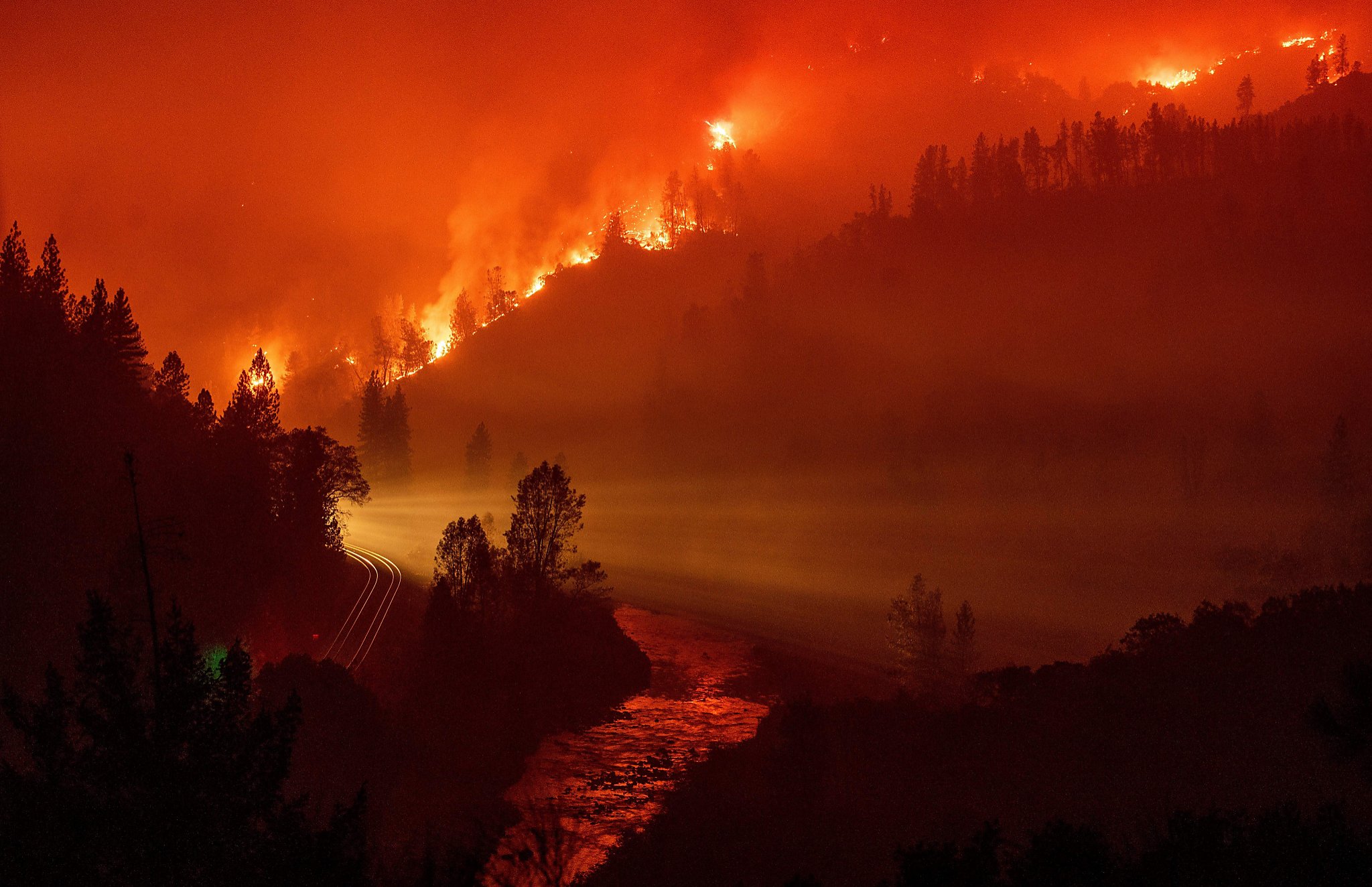
By late 2018, these conditions were exacerbated by the "Diablo" and "Santa Ana" wind events. These seasonal winds, characterized by high velocity and extremely low humidity, pushed fires through canyons and across ridge lines with such speed that traditional containment lines proved ineffective. In Northern California, the Camp Fire was fueled by these conditions, combined with a lack of early-season precipitation, which allowed the fire to transition from a localized brush fire to an urban conflagration in a matter of hours.
Key Incidents: The Camp and Woolsey Fires
The 2018 season was marked by two specific, devastating events that have become case studies for fire behavior and evacuation challenges: the Camp Fire in Butte County and the Woolsey Fire in Southern California.
The Camp Fire
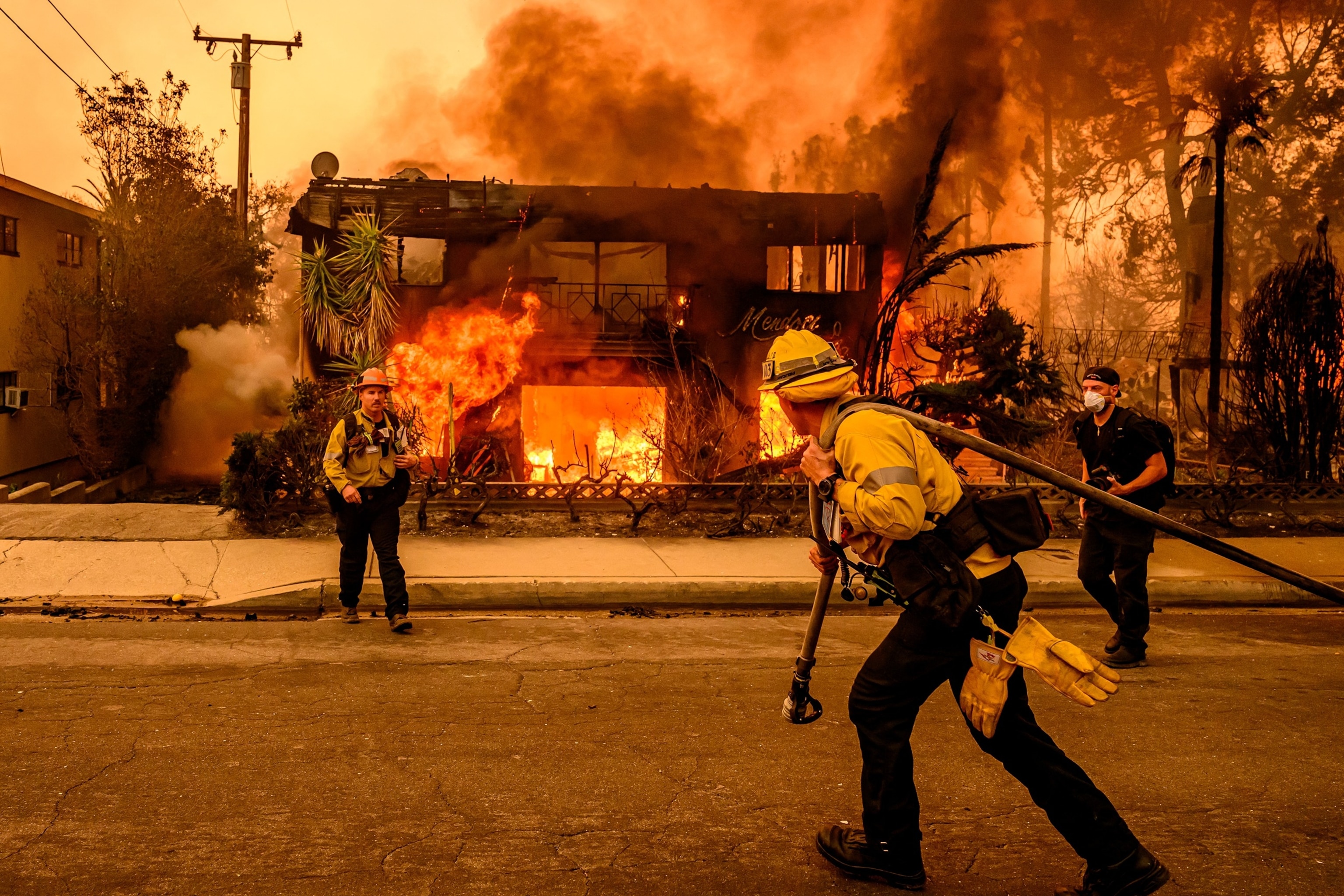
Beginning on November 8, 2018, near Pulga, the Camp Fire burned approximately 153,336 acres. It claimed 85 lives and destroyed nearly 19,000 structures, essentially leveling the town of Paradise. The intensity of the fire, driven by high winds, outpaced evacuation orders, leading to gridlock on primary exit routes. This event necessitated a complete re-evaluation of evacuation planning and alert dissemination protocols across the state.
The Woolsey Fire
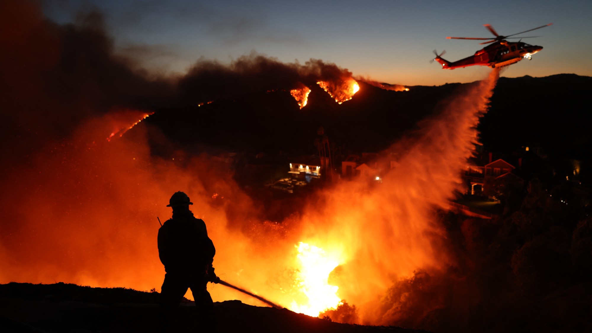
Starting the same day as the Camp Fire, the Woolsey Fire swept through parts of Los Angeles and Ventura counties. Burning nearly 97,000 acres, it underscored the vulnerability of suburban communities located within the Santa Monica Mountains. The fire demonstrated the complexity of protecting high-density residential zones when they interface with rugged, fire-prone terrain, leading to the destruction of significant cultural assets and thousands of homes.
Impact on Utility Operations and Liability
Perhaps the most significant legacy of the 2018 season is the legal and operational impact on California’s investor-owned utilities. Investigations by the California Department of Forestry and Fire Protection (CAL FIRE) confirmed that infrastructure failures—specifically power lines coming into contact with vegetation during high-wind events—were the ignition sources for several major fires, including the Camp Fire.
This led to the implementation of Public Safety Power Shutoffs (PSPS). During periods of extreme weather, utilities now proactively de-energize circuits to prevent equipment from sparking new fires. While effective in reducing ignition risk, this practice has introduced new challenges, including:
- Loss of power to critical infrastructure, such as cellular towers and medical equipment.
- Economic disruptions to businesses and community services.
- Increased pressure on residents to invest in decentralized power systems like backup generators and solar-plus-battery storage.
Comparison of Major 2018 Fire Metrics
The scale of the 2018 season can be categorized by the severity of the damage relative to historical norms. The following table provides a snapshot of the impact of major fires during this period.
| Fire Name | Region | Acres Burned | Structures Destroyed | Primary Factor |
|---|---|---|---|---|
| Camp Fire | Northern CA | 153,336 | 18,804 | Infrastructure |
| Woolsey Fire | Southern CA | 96,949 | 1,643 | High Winds |
| Mendocino Complex | Northern CA | 459,123 | 280 | Climate/Terrain |
| Carr Fire | Northern CA | 229,651 | 1,614 | Pyrocumulonimbus |
Shifts in Emergency Management and Policy
Following 2018, California revised its emergency response framework. Key areas of focus include:
- Evacuation Logistics: Agencies have transitioned toward "reverse 911" systems, siren activations, and improved cellular messaging to ensure that evacuation orders reach residents faster and more reliably.
- Defensible Space Standards: State law has tightened requirements for vegetation clearance around homes. Property owners are now held to stricter standards regarding the removal of flammable materials within a 100-foot radius of structures.
- Hardening Infrastructure: Utilities are now required to bury power lines in high-risk areas, apply insulating coatings to conductors, and install advanced weather monitoring sensors on their distribution networks.
- Community Planning: Local jurisdictions are increasingly integrating "Wildfire Hazard Mapping" into their general plans, restricting development in the most extreme fire-severity zones.
Challenges in Insurance and Economic Recovery
The 2018 fires triggered a collapse in the availability of traditional homeowner insurance in high-risk regions. Insurance carriers, faced with multibillion-dollar losses, began non-renewing policies in the Wildland-Urban Interface. This forced thousands of residents onto the California FAIR Plan—the state's insurer of last resort.
For homeowners, this represents a significant increase in annual premiums and a reduction in coverage breadth. Understanding the nuances of these policies is critical. Property owners must ensure they have "extended replacement cost" coverage, which provides a financial buffer if the cost of rebuilding exceeds the original policy limit—a common occurrence following regional disasters where demand for contractors spikes.
Frequently Asked Questions
Why was the 2018 fire season considered unprecedented? It was the first time in recorded history that California experienced such a high volume of acreage burned alongside the total destruction of an entire town (Paradise). The combination of extreme wind events and low fuel moisture created fire behavior that moved faster than existing evacuation infrastructure could accommodate.
How do utilities determine when to initiate a Public Safety Power Shutoff? Utilities utilize a combination of real-time meteorological data and proprietary risk models. They look for specific wind speeds, low relative humidity, and the moisture content of live vegetation. If these variables cross a predetermined threshold, circuits in the affected zone are de-energized until the weather system passes.
What is the role of the California FAIR Plan? The FAIR Plan acts as a backstop for property owners who are unable to secure coverage from private insurance companies. It is a syndicate of all admitted insurers in the state, meant to provide basic fire coverage, though it is often more expensive and less comprehensive than standard market policies.
How has the definition of the "Wildland-Urban Interface" changed since 2018? The definition has expanded to include more suburban areas that were previously considered low-risk. Increased development into hilly or wooded regions has blurred the line between urban centers and wildlands, forcing planners to apply stricter building codes and fire-resistant construction requirements to regions that were once exempt.
Can individual homeowners effectively mitigate wildfire risk? Yes, though mitigation is a multi-layered approach. Beyond the mandatory 100-foot defensible space, homeowners are advised to replace wood-shake roofs with Class A fire-rated materials, install ember-resistant vents, and clear gutters of dry leaves, which are primary entry points for wind-blown embers.
What are the primary indicators of a fire-prone season? Meteorologists focus on the "Water Year" (October to September), the duration of the annual drought, and the timing of the first significant winter rains. A long, dry summer followed by a delayed start to the wet season creates a "prolonged fire season" where fuels remain at critical dryness through November.
Next Steps for Residents
If you reside in a high-risk area, prioritize your "Ready, Set, Go!" action plan. First, ensure your property meets the 2026 standards for defensible space and structural hardening. Second, register your mobile device with your local county emergency notification system—do not rely solely on news broadcasts. Finally, review your insurance policy annually; ensure that your coverage limit reflects the current cost of construction materials and labor in your specific county, as these fluctuate significantly during post-disaster recovery periods. Consult with a qualified insurance agent to verify that your policy includes "ordinance or law" coverage, which pays for the cost of bringing your home up to modern building codes during a rebuild.