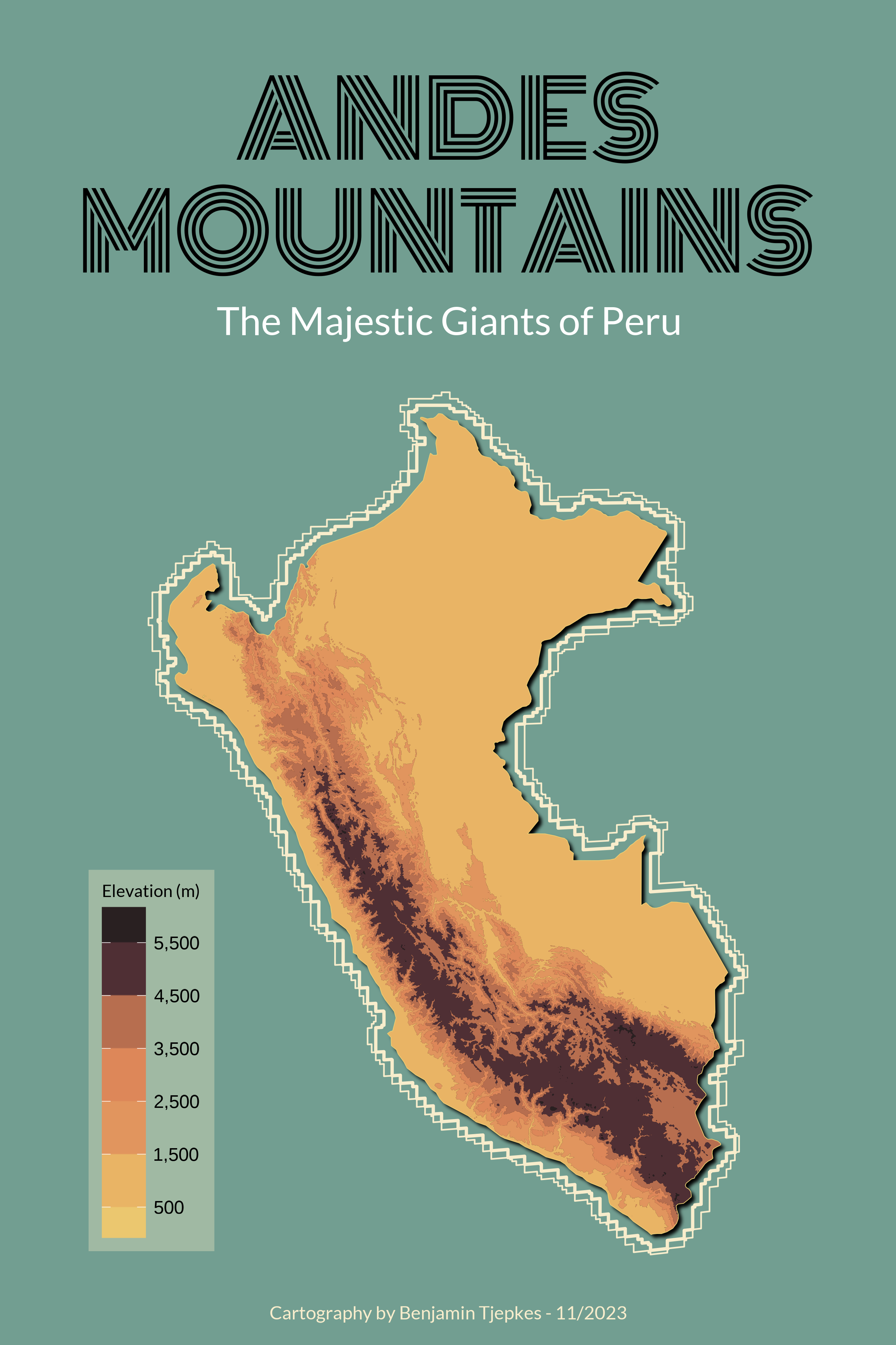
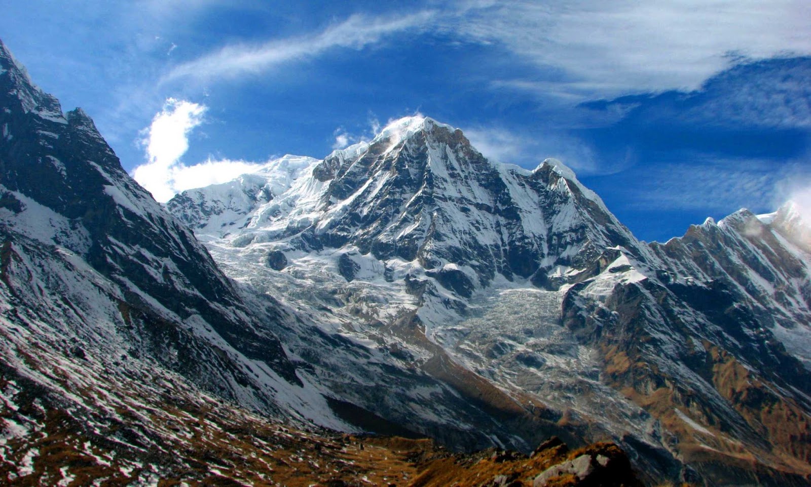
The Andes Mountains are located exclusively on the continent of South America, forming a continuous highland along its western coast. Stretching over 7,000 kilometers (4,350 miles), they represent the longest continental mountain range in the world, traversing seven nations: Venezuela, Colombia, Ecuador, Peru, Bolivia, Chile, and Argentina.
The Continental Scope: Seven Nations and One Range
The Andes do not merely exist on the South American continent; they define its western geography. The range is so expansive that it is often divided into three major regions based on climate and proximity to the equator: the Northern Andes, the Central Andes, and the Southern Andes. This massive physical barrier separates the narrow Pacific coastal strip from the rest of the continent, including the vast Amazon Basin.
In the north, the range begins in Venezuela and Colombia, where it splits into three distinct branches (the Cordillera Occidental, Central, and Oriental). As it moves south through Ecuador and Peru, the range narrows into high, rugged peaks and deep valleys. In Bolivia, the mountains widen significantly to create the Altiplano, a high-altitude plateau that is the second largest of its kind in the world after the Tibetan Plateau. Finally, as the range moves through Chile and Argentina, it narrows again, eventually dipping into the Southern Ocean at Tierra del Fuego.
The sheer scale of the Andes means they influence the continental climate of South America more than any other single feature. They act as a wall that captures moisture from the Atlantic, fueling the Amazon River system, while simultaneously creating some of the driest places on Earth on their leeward side.
Geological Genesis: The Forces That Built the Andes
The Andes are a product of plate tectonics, specifically the process of subduction. This mountain-building event, or "orogeny," began roughly 200 million years ago during the Mesozoic Era, though the range as we recognize it today started its most significant uplift about 20 to 30 million years ago.
The primary driver is the collision between the South American Plate and the Nazca Plate. Because the Nazca Plate (an oceanic plate) is denser than the South American Plate (a continental plate), it is forced downward into the mantle. As the Nazca Plate sinks, it melts, creating magma that rises to the surface, resulting in the high frequency of volcanic activity found throughout the range.
This subduction does not just create volcanoes; it compresses the edge of the continent, folding and faulting the crust to create massive peaks. The Southern Andes are also influenced by the subduction of the Antarctic Plate. Because this tectonic activity is ongoing, the Andes are still technically "growing" in some areas, while being simultaneously worn down by glacial and fluvial erosion. This dynamic geological environment makes the region a primary focus for the United States Geological Survey (USGS) and other global geophysical organizations.
Geographic Segments and Topography
To understand the Andes' impact on the South American continent, one must look at the three primary segments that define the range's character.
The Northern Andes
Located in Venezuela, Colombia, and Ecuador, this section is characterized by its tropical climate and high biodiversity. The mountains here are often covered in "cloud forests"—high-altitude rainforests that are perpetually shrouded in mist. These areas are critical for water regulation, feeding the Orinoco and Magdalena rivers.
The Central Andes
Spanning Peru, Bolivia, and northern Chile/Argentina, this is the widest part of the range. It is home to the Altiplano, where the mountains split into two main chains (the Cordillera Occidental and Cordillera Oriental), leaving a high-altitude basin in between. This region contains Lake Titicaca, the highest navigable lake in the world, and is known for its massive mineral deposits, including copper, silver, and lithium.
The Southern Andes
As the range moves through central and southern Chile and Argentina, the climate shifts from arid to alpine and glacial. This segment contains the highest peak in the Western Hemisphere, Mount Aconcagua, which stands at 6,961 meters (22,837 feet). Further south, the mountains are heavily glaciated, featuring the Patagonian Ice Fields, which are among the largest ice masses outside of the polar regions.
| Feature | Northern Andes | Central Andes | Southern Andes |
|---|---|---|---|
| Primary Countries | Venezuela, Colombia, Ecuador | Peru, Bolivia | Chile, Argentina |
| Climate Type | Tropical/Humid | Arid/High Plateau | Alpine/Glacial |
| Notable Landmark | Cotopaxi Volcano | Altiplano & Lake Titicaca | Mount Aconcagua |
| Average Elevation | 3,000 - 4,500m | 4,000 - 6,000m | 2,500 - 6,900m |
| Economic Drivers | Coffee, Oil, Flowers | Mining (Lithium, Copper) | Tourism, Hydroelectric |
Climatic Diversity and the Rain Shadow Effect
The Andes Mountains function as a massive "climate machine" for the South American continent. One of the most significant phenomena they create is the rain shadow effect.
In the southern part of the continent, the prevailing westerly winds from the Pacific Ocean hit the Andes. As the air rises to clear the peaks, it cools and drops its moisture on the western (Chilean) side, leading to lush forests. By the time the air reaches the eastern (Argentine) side, it is dry, resulting in the arid Patagonian Steppe.
Conversely, in the central region, the mountains block moisture coming from the Atlantic and the Amazon Basin. This creates the Atacama Desert in northern Chile, the driest non-polar place on Earth. Some weather stations in the Atacama have never recorded a drop of rain in recorded history. This extreme climatic variation allows for a staggering range of ecosystems within a relatively narrow longitudinal span, from the tropical heat of the Colombian foothills to the permanent ice of the Darwin Range.
Biodiversity: Life in the High Altitudes
The Andes are one of the most biologically diverse regions on the planet. This is due to "vertical zonation"—the change in ecosystem types as one gains elevation. A single mountain can host a tropical base, a temperate middle, and an arctic summit.
- Flora: The range is the ancestral home of the potato and the tomato. In the high-altitude grasslands known as the puna and páramo, unique plants like the Espeletia (frailejones) have evolved to trap moisture from the clouds.
- Fauna: The Andes host iconic species such as the Andean Condor, one of the world's largest flying birds, and the Spectacled Bear. Camelids, including llamas, alpacas, guanacos, and vicuñas, are essential to both the ecology and the local economies of the high plateau.
The region's unique biodiversity is protected under various international frameworks, including several UNESCO World Heritage sites, such as Huascarán National Park in Peru and Sangay National Park in Ecuador. These areas are vital for carbon sequestration and serve as "water towers" for the millions of people living in the valleys below.
Human History: From the Inca to Modern Megacities
The Andes have been inhabited for thousands of years, with civilizations adapting to the challenges of low oxygen and rugged terrain. The most famous of these was the Inca Empire, which, by the 15th century, had created a sophisticated network of roads and agricultural terraces that spanned almost the entire length of the range.
The Inca capital, Cusco, and the "lost city" of Machu Picchu remain as testaments to advanced Andean engineering. These ancient peoples mastered "vertical archipelago" agriculture, where different crops were grown at different altitudes to ensure food security.
Today, the Andes continue to support massive human populations. High-altitude cities like La Paz (Bolivia), Quito (Ecuador), and Bogotá (Colombia) are among the largest urban centers in their respective countries. Life in these cities is defined by the mountains; for instance, La Paz utilizes an extensive cable car system (Mi Teleférico) as a primary mode of public transit to navigate the steep canyon walls. As of 2026, these urban centers are at the forefront of studying urban adaptation to high-altitude living and the effects of receding glaciers on municipal water supplies.
Economic and Environmental Significance
The economic value of the Andes to the South American continent cannot be overstated. However, this value often comes at an environmental cost.
- Mining: The Andes contain some of the world's largest reserves of copper (Chile and Peru) and gold. More recently, the "Lithium Triangle" (Bolivia, Argentina, and Chile) has become globally significant for the production of batteries for electric vehicles.
- Agriculture: The fertile volcanic soils of the northern and central Andes support major exports, including coffee from Colombia and flowers from Ecuador.
- Hydroelectric Power: The steep gradients of Andean rivers provide immense potential for renewable energy, powering much of the continent’s industrial infrastructure.
- Tourism: From trekking in Torres del Paine to visiting the salt flats of Uyuni, tourism is a multi-billion dollar industry that supports rural Andean communities.
The primary threat facing the region in 2026 is the rapid melting of Andean glaciers. According to reports from the Intergovernmental Panel on Climate Change (IPCC), tropical glaciers in the Andes have lost significant mass over the last several decades. This poses a direct threat to the water security of cities like Lima and La Paz, which rely on glacial melt during the dry season.
Frequently Asked Questions
What is the highest point in the Andes?
The highest point is Mount Aconcagua in Argentina, reaching an elevation of 6,961 meters (22,837 feet). It is the highest mountain outside of Asia and is part of the "Seven Summits" sought after by mountaineers. Unlike many Andean peaks, Aconcagua is not a volcano, but rather a massive thrust-faulted block of crust.
How many countries do the Andes go through?
The Andes pass through seven South American countries: Venezuela, Colombia, Ecuador, Peru, Bolivia, Chile, and Argentina. Because of this, these nations are collectively referred to as the "Andean States." The range serves as a natural border for much of the southern part of the continent, specifically between Chile and Argentina.
How did the Andes mountains form?
The Andes were formed by subduction, where the Nazca Plate (oceanic) is being forced underneath the South American Plate (continental). This process involves intense pressure, which folds the earth's crust, and extreme heat, which creates volcanic activity. This tectonic movement is part of the "Pacific Ring of Fire," a zone of high seismic activity surrounding the Pacific Ocean.
Are the Andes still growing?
Yes, in many sections, the Andes are still technically growing or uplifting due to the ongoing tectonic pressure from the Nazca Plate. However, this growth is a very slow process—often measured in millimeters per year—and is frequently offset by the forces of erosion from wind, rain, and glaciers.
What is the Altiplano?
The Altiplano is a vast, high-altitude plateau located in the Central Andes, primarily in Bolivia and Peru. It is the widest part of the mountain range and sits at an average elevation of about 3,750 meters (12,300 feet). It is a unique landscape characterized by salt flats, high-altitude lakes, and active volcanoes, and it has been a center for human civilization for millennia.
Recommendation for Travelers and Researchers
If you are planning to visit or study the Andes in 2026, prioritize altitude acclimatization. Whether traveling to Cusco, Bogotá, or the Altiplano, the "thin air" at elevations above 2,500 meters can cause altitude sickness. Researchers should focus on the southern regions of Chile and Argentina, where the effects of climate change on glacial retreat are most visible and provide critical data for global climate modeling. For those interested in biodiversity, the cloud forests of Ecuador and Colombia offer the most concentrated variety of endemic species on the continent.